5700 Baltimore Dr Unit 184 La Mesa, CA 91942
Estimated Value: $344,000 - $424,000
1
Bed
1
Bath
671
Sq Ft
$586/Sq Ft
Est. Value
About This Home
This home is located at 5700 Baltimore Dr Unit 184, La Mesa, CA 91942 and is currently estimated at $393,371, approximately $586 per square foot. 5700 Baltimore Dr Unit 184 is a home located in San Diego County with nearby schools including Maryland Avenue Elementary School, Parkway Academy, and Grossmont High School.
Ownership History
Date
Name
Owned For
Owner Type
Purchase Details
Closed on
Dec 31, 2014
Sold by
Darnell Debra A
Bought by
Snowball Christopher
Current Estimated Value
Home Financials for this Owner
Home Financials are based on the most recent Mortgage that was taken out on this home.
Original Mortgage
$135,850
Outstanding Balance
$104,170
Interest Rate
3.87%
Mortgage Type
New Conventional
Estimated Equity
$289,201
Purchase Details
Closed on
May 20, 2004
Sold by
Smithwick Debra Ann
Bought by
Darnell Debra A and Smithwick Debra A
Purchase Details
Closed on
Apr 17, 2003
Sold by
Smithwick Debra Ann
Bought by
Smithwick Debra Ann
Purchase Details
Closed on
May 27, 1999
Sold by
Tuley Doris J
Bought by
Darnell Betty J
Purchase Details
Closed on
Dec 16, 1983
Create a Home Valuation Report for This Property
The Home Valuation Report is an in-depth analysis detailing your home's value as well as a comparison with similar homes in the area
Purchase History
| Date | Buyer | Sale Price | Title Company |
|---|---|---|---|
| Snowball Christopher | $143,000 | Lawyers Title Company | |
| Darnell Debra A | -- | -- | |
| Smithwick Debra Ann | -- | -- | |
| Darnell Betty J | $80,000 | -- | |
| -- | $54,500 | -- |
Source: Public Records
Mortgage History
| Date | Status | Borrower | Loan Amount |
|---|---|---|---|
| Open | Snowball Christopher | $135,850 |
Source: Public Records
Tax History
| Year | Tax Paid | Tax Assessment Tax Assessment Total Assessment is a certain percentage of the fair market value that is determined by local assessors to be the total taxable value of land and additions on the property. | Land | Improvement |
|---|---|---|---|---|
| 2025 | $1,951 | $171,855 | $66,210 | $105,645 |
| 2024 | $1,951 | $168,486 | $64,912 | $103,574 |
| 2023 | $1,894 | $165,184 | $63,640 | $101,544 |
| 2022 | $1,870 | $161,946 | $62,393 | $99,553 |
| 2021 | $1,846 | $158,771 | $61,170 | $97,601 |
| 2020 | $1,788 | $157,144 | $60,543 | $96,601 |
| 2019 | $1,761 | $154,063 | $59,356 | $94,707 |
| 2018 | $1,726 | $151,043 | $58,193 | $92,850 |
| 2017 | $50 | $148,082 | $57,052 | $91,030 |
| 2016 | $1,644 | $145,180 | $55,934 | $89,246 |
| 2015 | $1,258 | $104,339 | $40,199 | $64,140 |
| 2014 | $1,234 | $102,296 | $39,412 | $62,884 |
Source: Public Records
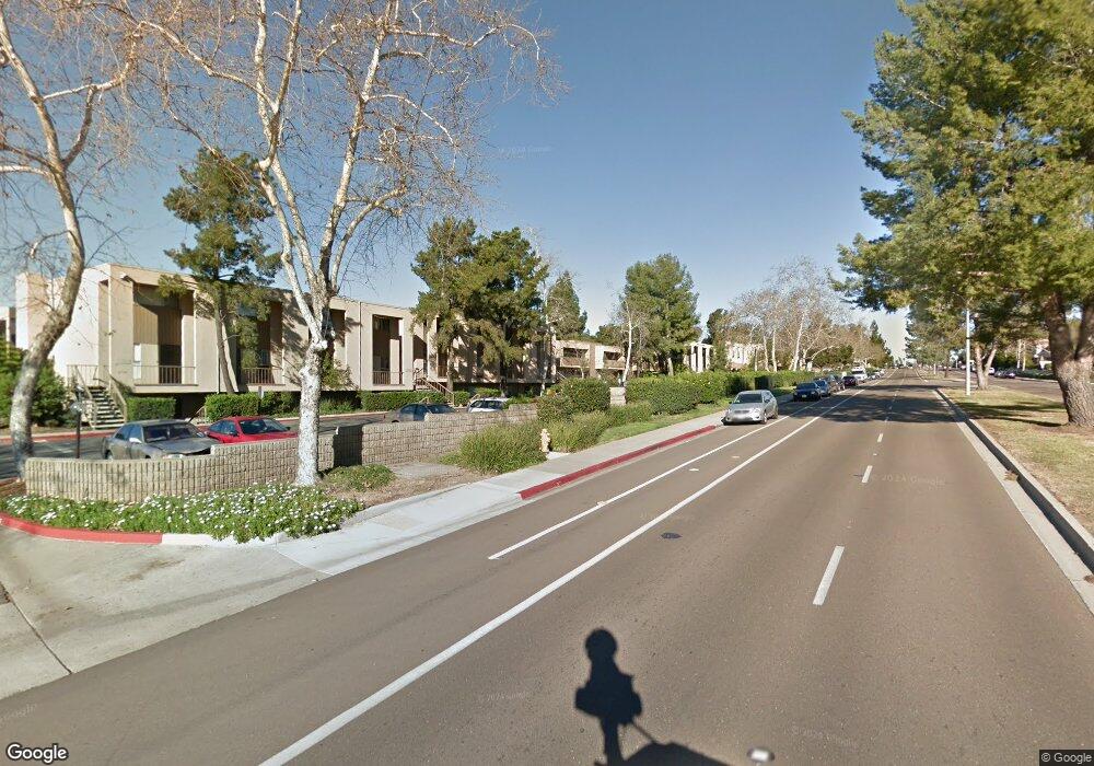
Map
Nearby Homes
- 5700 Baltimore Dr Unit 202
- 5700 Baltimore Dr Unit 206
- 5700 Baltimore Dr Unit 195
- 5700 Baltimore Dr Unit 66
- 5715 Baltimore Dr Unit 91
- 5710 Baltimore Dr Unit 430
- 5710 Baltimore Dr Unit 433
- 5710 Baltimore Dr Unit 429
- 5706 Baltimore Dr Unit 350
- 5704 Baltimore Dr Unit 304
- 5704 Baltimore Dr Unit 325
- 5590 Maryland Ave
- 6060 Cowles Mountain Blvd
- 5800 Lake Murray Blvd Unit 88
- 5525 Shasta Ln Unit 301
- 5537 Lesa Rd
- 5440 Baltimore Dr Unit 137
- 5440 Baltimore Dr Unit 92
- 5440 Baltimore Dr Unit 160
- 5319 Wheaton St
- 5700 Baltimore Dr Unit 41
- 5700 Baltimore Dr
- 5700 Baltimore Dr Unit 252
- 5700 Baltimore Dr Unit 251
- 5700 Baltimore Dr Unit 250
- 5700 Baltimore Dr Unit 249
- 5700 Baltimore Dr Unit 248
- 5700 Baltimore Dr Unit 247
- 5700 Baltimore Dr Unit 246
- 5700 Baltimore Dr Unit 245
- 5700 Baltimore Dr Unit 244
- 5700 Baltimore Dr Unit 243
- 5700 Baltimore Dr Unit 242
- 5700 Baltimore Dr Unit 241
- 5700 Baltimore Dr Unit 240
- 5700 Baltimore Dr Unit 239
- 5700 Baltimore Dr Unit 238
- 5700 Baltimore Dr Unit 237
- 5700 Baltimore Dr Unit 185
- 5700 Baltimore Dr Unit 183
Your Personal Tour Guide
Ask me questions while you tour the home.