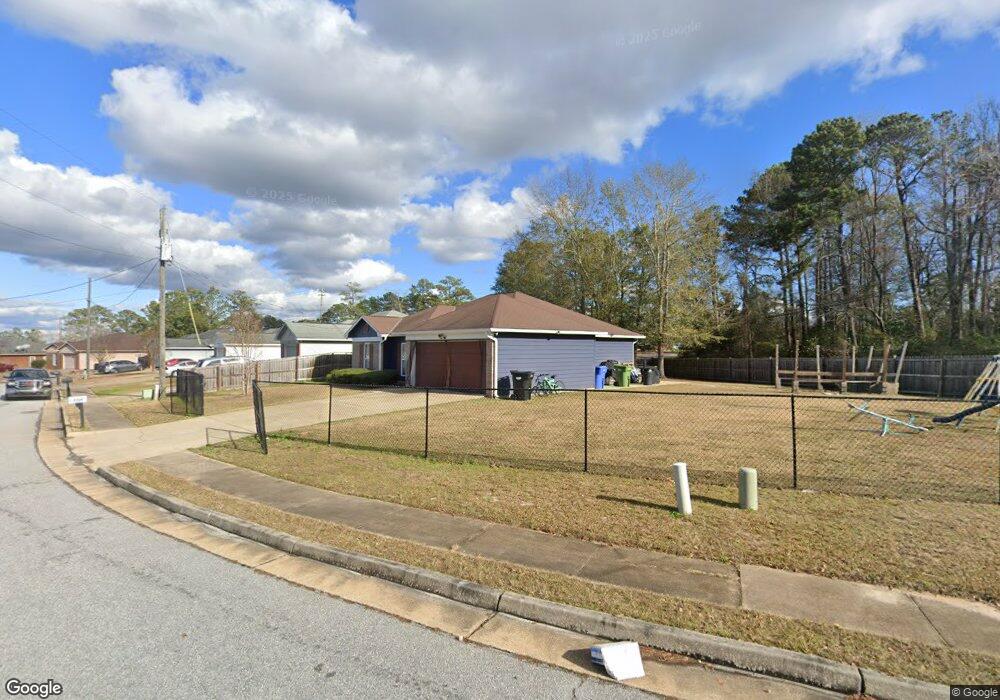
5700 Boby Dr Columbus, GA 31907
Eastern Columbus NeighborhoodEstimated Value: $165,000 - $180,781
3
Beds
3
Baths
1,323
Sq Ft
$130/Sq Ft
Est. Value
About This Home
This home is located at 5700 Boby Dr, Columbus, GA 31907 and is currently estimated at $171,695, approximately $129 per square foot. 5700 Boby Dr is a home located in Muscogee County with nearby schools including Forrest Road Elementary School, Fort Middle School, and Kendrick High School.
Ownership History
Date
Name
Owned For
Owner Type
Purchase Details
Closed on
Mar 22, 2010
Sold by
Fannie Mae
Bought by
Thornton Patricia D
Current Estimated Value
Home Financials for this Owner
Home Financials are based on the most recent Mortgage that was taken out on this home.
Original Mortgage
$115,862
Outstanding Balance
$76,599
Interest Rate
4.93%
Mortgage Type
FHA
Estimated Equity
$95,096
Purchase Details
Closed on
Nov 3, 2009
Sold by
Bac Home Loans Servicing Lp
Bought by
Federal National Mortgage Association
Create a Home Valuation Report for This Property
The Home Valuation Report is an in-depth analysis detailing your home's value as well as a comparison with similar homes in the area
Home Values in the Area
Average Home Value in this Area
Purchase History
| Date | Buyer | Sale Price | Title Company |
|---|---|---|---|
| Thornton Patricia D | -- | None Available | |
| Federal National Mortgage Association | -- | None Available | |
| Bac Home Loans Servicing Lp | $129,240 | None Available |
Source: Public Records
Mortgage History
| Date | Status | Borrower | Loan Amount |
|---|---|---|---|
| Open | Thornton Patricia D | $115,862 |
Source: Public Records
Tax History Compared to Growth
Tax History
| Year | Tax Paid | Tax Assessment Tax Assessment Total Assessment is a certain percentage of the fair market value that is determined by local assessors to be the total taxable value of land and additions on the property. | Land | Improvement |
|---|---|---|---|---|
| 2025 | $1,825 | $59,200 | $12,012 | $47,188 |
| 2024 | $1,824 | $59,200 | $12,012 | $47,188 |
| 2023 | $1,141 | $59,200 | $12,012 | $47,188 |
| 2022 | $1,902 | $53,344 | $12,012 | $41,332 |
| 2021 | $1,895 | $42,332 | $12,012 | $30,320 |
| 2020 | $1,896 | $42,332 | $12,012 | $30,320 |
| 2019 | $1,903 | $42,332 | $12,012 | $30,320 |
| 2018 | $1,903 | $42,332 | $12,012 | $30,320 |
| 2017 | $1,911 | $42,332 | $12,012 | $30,320 |
| 2016 | $1,919 | $59,804 | $9,360 | $50,444 |
| 2015 | $1,922 | $59,804 | $9,360 | $50,444 |
| 2014 | $1,925 | $59,804 | $9,360 | $50,444 |
| 2013 | -- | $59,804 | $9,360 | $50,444 |
Source: Public Records
Map
Nearby Homes
- 5644 Peggy Dr
- 5642 Boby Dr
- 6636 Foxboro Dr
- 6915 Forrest Rd
- 2735 Schatulga Rd
- 2737 Schatulga Rd
- 3041 Waddell Dr
- 2942 Poppy Seed Loop
- 2216 Hunter Ct
- 2708 Courtland Ave
- 6916 Bradshaw Dr
- 2672 Honeysuckle Dr
- 6028 Caribou Dr
- 3301 Musket Dr
- 6000 Caribou Dr
- 3027 Lansing Ave
- 1754 Mazor Dr
- 1925 Woodhollow Dr
- 5906 Forrest Rd
- 6059 Nassau Cir