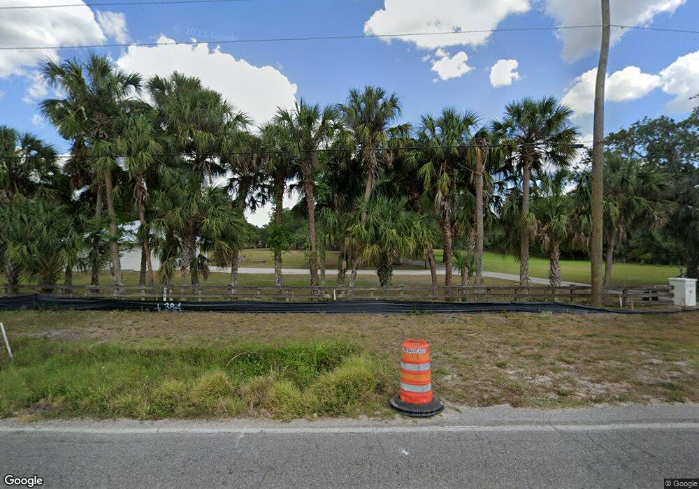
5700 Erie Rd Parrish, FL 34219
Estimated Value: $651,000 - $868,656
3
Beds
3
Baths
2,729
Sq Ft
$287/Sq Ft
Est. Value
About This Home
This home is located at 5700 Erie Rd, Parrish, FL 34219 and is currently estimated at $781,885, approximately $286 per square foot. 5700 Erie Rd is a home located in Manatee County with nearby schools including Virgil Mills Elementary School, Buffalo Creek Middle School, and Parrish Community High School.
Ownership History
Date
Name
Owned For
Owner Type
Purchase Details
Closed on
Oct 19, 1995
Sold by
Orlandi Mark W
Bought by
Pick Jeffrey C
Current Estimated Value
Purchase Details
Closed on
May 13, 1994
Sold by
D B Assoc
Bought by
Pick Jeffrey C and Pick Lori A
Home Financials for this Owner
Home Financials are based on the most recent Mortgage that was taken out on this home.
Original Mortgage
$37,500
Interest Rate
8.48%
Create a Home Valuation Report for This Property
The Home Valuation Report is an in-depth analysis detailing your home's value as well as a comparison with similar homes in the area
Home Values in the Area
Average Home Value in this Area
Purchase History
| Date | Buyer | Sale Price | Title Company |
|---|---|---|---|
| Pick Jeffrey C | -- | -- | |
| Pick Jeffrey C | $52,500 | -- |
Source: Public Records
Mortgage History
| Date | Status | Borrower | Loan Amount |
|---|---|---|---|
| Previous Owner | Pick Jeffrey C | $37,500 |
Source: Public Records
Tax History Compared to Growth
Tax History
| Year | Tax Paid | Tax Assessment Tax Assessment Total Assessment is a certain percentage of the fair market value that is determined by local assessors to be the total taxable value of land and additions on the property. | Land | Improvement |
|---|---|---|---|---|
| 2025 | $4,693 | $397,407 | -- | -- |
| 2024 | $4,693 | $369,811 | -- | -- |
| 2023 | $4,693 | $359,040 | $0 | $0 |
| 2022 | $4,571 | $348,583 | $0 | $0 |
| 2021 | $2,285 | $338,430 | $0 | $0 |
| 2020 | $4,533 | $333,757 | $0 | $0 |
| 2019 | $4,466 | $326,253 | $0 | $0 |
| 2018 | $4,428 | $320,170 | $0 | $0 |
| 2017 | $2,110 | $313,585 | $0 | $0 |
| 2016 | $2,075 | $307,135 | $0 | $0 |
| 2015 | $4,153 | $305,000 | $0 | $0 |
| 2014 | $4,153 | $302,579 | $0 | $0 |
| 2013 | $4,142 | $298,107 | $0 | $0 |
Source: Public Records
Map
Nearby Homes
- 8615 59th St E
- 5628 82nd Ave E
- 5421 81st Avenue Cir E
- 5603 90th Avenue Cir E
- 8033 55th St E
- 6112 90th Avenue Cir E
- 6203 90th Avenue Cir E
- 6211 90th Avenue Cir E Unit 1
- 6215 90th Avenue Cir E
- 7705 55th St E
- 9716 58th St E
- 8271 47th Street Cir E
- 7404 Mill Hopper Ct
- 7410 61st St E
- 5405 98th Ave E
- 9927 58th St E
- 5439 74th Place E
- 7303 55th St E
- 7318 61st St E
- 8335 47th Street Cir E
- 8605 59th St E
- 8609 59th St E
- 8606 59th St E
- 8619 59th St E
- 8610 59th St E
- 5590 Erie Rd
- 5522 82nd Ave E
- 5518 82nd Avenue Dr E
- 5518 82nd Ave E
- 5518 82nd Avenue Dr E Unit 7
- 5514 82nd Ave E
- 8614 59th St E
- 5510 82nd Ave E
- 8623 59th St E
- 5526 82nd Ave E
- 6000 Erie Rd
- 5506 82nd Ave E
- 5506 82nd Avenue Dr E
- 5530 82nd Ave E
- 5530 82nd Avenue Dr E
