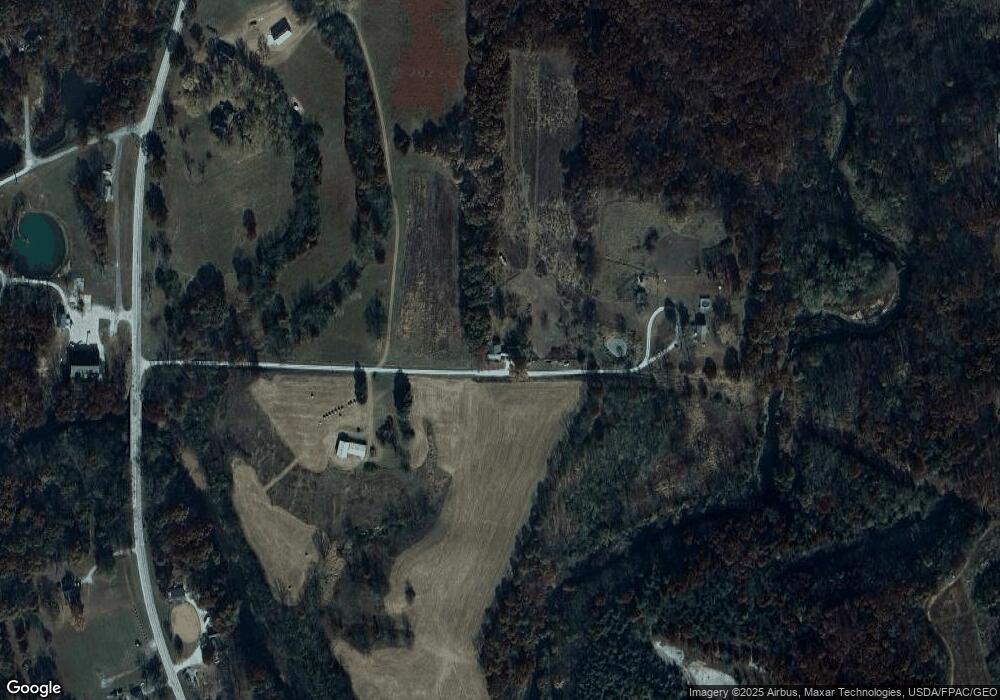
5700 N 1100th Rd Colchester, IL 62326
Estimated Value: $82,000 - $205,000
--
Bed
--
Bath
1,360
Sq Ft
$88/Sq Ft
Est. Value
About This Home
This home is located at 5700 N 1100th Rd, Colchester, IL 62326 and is currently estimated at $119,393, approximately $87 per square foot. 5700 N 1100th Rd is a home with nearby schools including West Prairie High School.
Create a Home Valuation Report for This Property
The Home Valuation Report is an in-depth analysis detailing your home's value as well as a comparison with similar homes in the area
Home Values in the Area
Average Home Value in this Area
Tax History Compared to Growth
Tax History
| Year | Tax Paid | Tax Assessment Tax Assessment Total Assessment is a certain percentage of the fair market value that is determined by local assessors to be the total taxable value of land and additions on the property. | Land | Improvement |
|---|---|---|---|---|
| 2024 | $1,097 | $18,400 | $3,341 | $15,059 |
| 2023 | $1,012 | $17,371 | $3,123 | $14,248 |
| 2022 | $939 | $16,484 | $2,934 | $13,550 |
| 2021 | $905 | $16,093 | $2,826 | $13,267 |
| 2020 | $870 | $18,178 | $2,733 | $15,445 |
| 2019 | $887 | $15,988 | $2,727 | $13,261 |
| 2018 | $841 | $15,785 | $2,524 | $13,261 |
| 2017 | $865 | $15,785 | $2,524 | $13,261 |
| 2016 | $840 | $15,475 | $2,474 | $13,001 |
| 2015 | $826 | $15,218 | $2,433 | $12,785 |
| 2014 | $702 | $14,992 | $2,398 | $12,594 |
| 2013 | $687 | $14,148 | $2,267 | $11,881 |
Source: Public Records
Map
Nearby Homes
- 5780 N 1100th Rd
- 0 N 1100th Rd
- 1515 N Coal Rd
- 1560 N Coal Rd
- 1620 N Coal Rd
- 11030 E 600th St
- 1710 N Coal Rd
- 1474 N Coal Rd
- 1640 N Coal Rd
- 1191 N Coal Rd
- 1540 N Coal Rd
- 1240 N Coal Rd
- 1740 N Coal Rd
- 1825 N Coal Rd
- 10790 E 600th St
- 1160 N Coal Rd
- 1130 N Coal Rd
- 1820 N Coal Rd
- 1830 N Coal Rd
- 1075 N Coal Rd