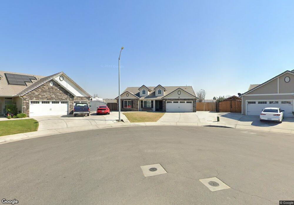
5701 Maine Ave Bakersfield, CA 93313
Panama NeighborhoodEstimated Value: $440,000 - $480,000
About This Home
This home is located at 5701 Maine Ave, Bakersfield, CA 93313 and is currently estimated at $454,490, approximately $227 per square foot. 5701 Maine Ave is a home located in Kern County with nearby schools including Bill L. Williams Elementary School, Stonecreek Junior High School, and Ridgeview High School.
Ownership History
We collect this data history from publicly available records. To have your information removed, we recommend requesting removal directly through your county’s website.
Purchase Details
Home Financials for this Owner
Home Financials are based on the most recent Mortgage that was taken out on this home.Purchase Details
Home Financials for this Owner
Home Financials are based on the most recent Mortgage that was taken out on this home.Purchase Details
Home Financials for this Owner
Home Financials are based on the most recent Mortgage that was taken out on this home.Home Values in the Area
Average Home Value in this Area
Purchase History
We collect this data history from publicly available records. To have your information removed, we recommend requesting removal directly through your county’s website.
| Date | Buyer | Sale Price | Title Company |
|---|---|---|---|
| -- | None Listed On Document | ||
| -- | North American Title Co Inc | ||
| $276,000 | North American Title Company |
Mortgage History
We collect this data history from publicly available records. To have your information removed, we recommend requesting removal directly through your county’s website.
| Date | Status | Borrower | Loan Amount |
|---|---|---|---|
| Previous Owner | $279,960 | ||
| Previous Owner | $271,000 |
Tax History
We collect this data history from publicly available records. To have your information removed, we recommend requesting removal directly through your county’s website.
| Year | Tax Paid | Tax Assessment Tax Assessment Total Assessment is a certain percentage of the fair market value that is determined by local assessors to be the total taxable value of land and additions on the property. | Land | Improvement |
|---|---|---|---|---|
| 2025 | $4,550 | $326,720 | $59,186 | $267,534 |
| 2024 | $4,471 | $320,315 | $58,026 | $262,289 |
| 2023 | $4,471 | $314,036 | $56,889 | $257,147 |
| 2022 | $4,290 | $307,879 | $55,774 | $252,105 |
| 2021 | $4,158 | $301,843 | $54,681 | $247,162 |
| 2020 | $4,100 | $298,749 | $54,121 | $244,628 |
| 2019 | $4,046 | $298,749 | $54,121 | $244,628 |
| 2018 | $3,871 | $287,150 | $52,020 | $235,130 |
| 2017 | $3,800 | $281,520 | $51,000 | $230,520 |
| 2016 | $3,717 | $276,000 | $50,000 | $226,000 |
Map
- 5414 Red Wheat Ave
- 6014 Samuelson St
- 6018 Woodard Ridge Dr
- 5818 Warren Ridge Dr
- 5809 Fernside Ct
- 6225 Thorton Ave
- 9605 Surfside St
- 5113 Silver Clover Ave
- 9506 Orchard Grass Ct
- 5808 Esmerelda Ave
- 5918 Esmerelda Ave
- 8011 Amber Creek Rd
- 5803 Vespucci Ave
- 5917 Vespucci Ave
- 5831 Mardal Ave
- 6003 Vespucci Ave
- 9914 Fire Island Dr
- 10000 Fitchburg Dr
- 6112 Commonwealth Ave
- 6203 Caruso Ave
- 5700 Maine Ave
- 5706 Maine Ave
- 5714 Maine Ave
- 5707 Maine Ave
- 5713 Maine Ave
- 5800 Maine Ave
- 5719 Maine Ave
- 5705 Pearl Ridge Dr
- 8901 Duram Wheat Dr
- 5709 Pearl Ridge Dr
- 5701 Pearl Ridge Dr
- 5700 Samuelson St
- 5806 Maine Ave
- 8905 Duram Wheat Dr
- 5803 Pearl Ridge Dr
- 5803 Maine Ave
- 5614 Winter Wheat Ave
- 5706 Samuelson St
- 5807 Pearl Ridge Dr
- 8909 Duram Wheat Dr
Ask me questions while you tour the home.