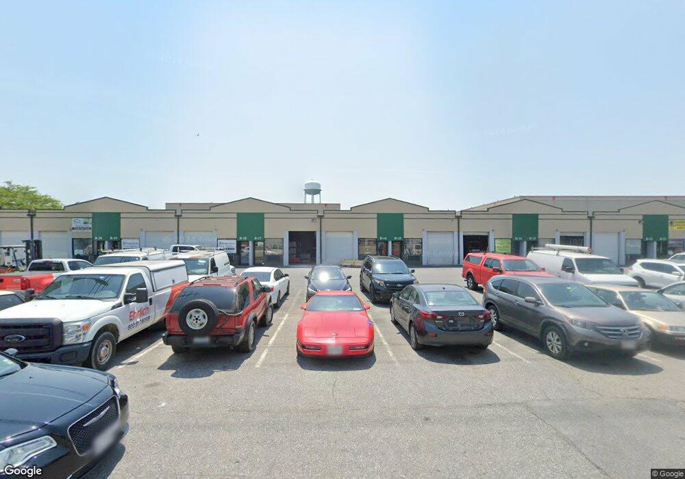
5702 Industry Ln Unit B11-B15 Frederick, MD 21704
Estimated Value: $6,249,411
--
Bed
--
Bath
5,000
Sq Ft
$1,250/Sq Ft
Est. Value
About This Home
This home is located at 5702 Industry Ln Unit B11-B15, Frederick, MD 21704 and is currently estimated at $6,249,411, approximately $1,249 per square foot. 5702 Industry Ln Unit B11-B15 is a home located in Frederick County with nearby schools including Tuscarora Elementary School, Crestwood Middle, and Tuscarora High School.
Ownership History
Date
Name
Owned For
Owner Type
Purchase Details
Closed on
Mar 2, 1994
Sold by
1St Natl Bk
Bought by
Evergreen Lp K F
Current Estimated Value
Home Financials for this Owner
Home Financials are based on the most recent Mortgage that was taken out on this home.
Original Mortgage
$1,125,000
Interest Rate
7.01%
Mortgage Type
Commercial
Purchase Details
Closed on
Dec 23, 1992
Sold by
Evergreen Business Cnt. Ltd. Part.
Bought by
First Nationwide Bank
Purchase Details
Closed on
Aug 20, 1985
Sold by
Frederick Business Properties
Bought by
Evergreen Business Cnt. Ltd. Part.
Create a Home Valuation Report for This Property
The Home Valuation Report is an in-depth analysis detailing your home's value as well as a comparison with similar homes in the area
Home Values in the Area
Average Home Value in this Area
Purchase History
| Date | Buyer | Sale Price | Title Company |
|---|---|---|---|
| Evergreen Lp K F | $1,500,000 | -- | |
| First Nationwide Bank | $1,700,000 | -- | |
| Evergreen Business Cnt. Ltd. Part. | $377,900 | -- |
Source: Public Records
Mortgage History
| Date | Status | Borrower | Loan Amount |
|---|---|---|---|
| Closed | Evergreen Lp K F | $1,125,000 |
Source: Public Records
Tax History Compared to Growth
Tax History
| Year | Tax Paid | Tax Assessment Tax Assessment Total Assessment is a certain percentage of the fair market value that is determined by local assessors to be the total taxable value of land and additions on the property. | Land | Improvement |
|---|---|---|---|---|
| 2025 | $56,071 | $4,906,067 | -- | -- |
| 2024 | $56,071 | $4,526,500 | $1,021,400 | $3,505,100 |
| 2023 | $51,659 | $4,339,467 | $0 | $0 |
| 2022 | $50,171 | $4,211,367 | $0 | $0 |
| 2021 | $45,066 | $3,965,400 | $1,021,400 | $2,944,000 |
| 2020 | $45,066 | $3,771,833 | $0 | $0 |
| 2019 | $42,818 | $3,578,267 | $0 | $0 |
| 2018 | $40,929 | $3,384,700 | $1,021,400 | $2,363,300 |
| 2017 | $38,869 | $3,384,700 | $0 | $0 |
| 2016 | $30,000 | $3,099,100 | $0 | $0 |
| 2015 | $30,000 | $2,956,300 | $0 | $0 |
| 2014 | $30,000 | $2,794,133 | $0 | $0 |
Source: Public Records
Map
Nearby Homes
- 5627 Crestwood Ct
- 5819 Whitfield Ct
- 5823 Drawbridge Ct
- 5531 Upper Mill Terrace N
- 5722 Box Elder Ct
- 7214 Black Creek Ln
- 6905 Chokeberry Ct
- 5701 Lavender Plaza Unit J
- 5806 G Shadbush Ct
- 6909 Baron Ct
- 5313 Saint Mawes Ct
- 6499 Corporate Dr
- 6827 Larkspur Square
- 7025 Hames Ct
- 5226 Kingsbrook Dr
- 639 Cawley Dr
- 5183 Duke Ct
- 5203 Ivywood Dr S
- 286 Pinoak Ln
- 417 White Oak Place
- 5702 Industry Ln
- 7315 Industry Ln
- 7315 Grove Rd Unit A
- 5740 Grove Rd
- 7310 Grove Rd
- 5705 Industry Ln
- 5714 Industry Ln
- 7394 Grove Rd
- 5716B Industry Ln Unit A2
- 7190 Crestwood Blvd
- 5744A Industry Ln Unit A
- 5606 Buckeystown Pike
- 5703 Industry Ln
- 7396 Grove Rd
- 7185 Crestwood Blvd
- 5726 Industry Ln
- 5724 Industry Ln
- 5618 Buckeystown Pike
- 5622 Buckeystown Pike
- 5640 Buckeystown Pike