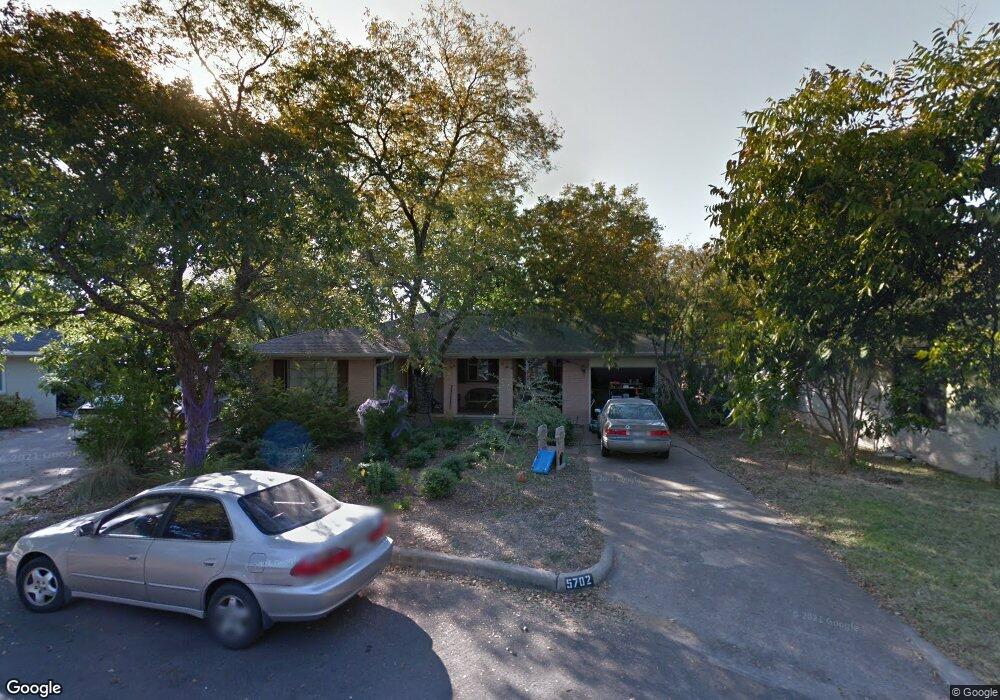
5702 Mccarthy Cir Unit B Austin, TX 78756
Brentwood NeighborhoodEstimated Value: $683,976 - $797,000
1
Bed
1
Bath
400
Sq Ft
$1,880/Sq Ft
Est. Value
About This Home
This home is located at 5702 Mccarthy Cir Unit B, Austin, TX 78756 and is currently estimated at $751,994, approximately $1,879 per square foot. 5702 Mccarthy Cir Unit B is a home located in Travis County with nearby schools including Brentwood Elementary School, Lamar Middle School, and McCallum High School.
Ownership History
Date
Name
Owned For
Owner Type
Purchase Details
Closed on
Feb 22, 2021
Sold by
Baja Backyard Llc
Bought by
Sorahan Brian and Sorahan Susan
Current Estimated Value
Purchase Details
Closed on
Jul 30, 2012
Sold by
Potter Michael Philip and Potter Crystal Woods
Bought by
Sorahan Brian Peter and Sorahan Susan Farris
Home Financials for this Owner
Home Financials are based on the most recent Mortgage that was taken out on this home.
Original Mortgage
$262,500
Interest Rate
3.72%
Mortgage Type
New Conventional
Purchase Details
Closed on
Feb 28, 2006
Sold by
Cook Carol B
Bought by
Potter Michael Philip
Home Financials for this Owner
Home Financials are based on the most recent Mortgage that was taken out on this home.
Original Mortgage
$192,000
Interest Rate
6.05%
Mortgage Type
Fannie Mae Freddie Mac
Create a Home Valuation Report for This Property
The Home Valuation Report is an in-depth analysis detailing your home's value as well as a comparison with similar homes in the area
Home Values in the Area
Average Home Value in this Area
Purchase History
| Date | Buyer | Sale Price | Title Company |
|---|---|---|---|
| Sorahan Brian | -- | None Available | |
| Sorahan Brian Peter | -- | Austin Title Company | |
| Potter Michael Philip | -- | Independence Title |
Source: Public Records
Mortgage History
| Date | Status | Borrower | Loan Amount |
|---|---|---|---|
| Previous Owner | Sorahan Brian Peter | $262,500 | |
| Previous Owner | Potter Michael Philip | $192,000 |
Source: Public Records
Tax History
| Year | Tax Paid | Tax Assessment Tax Assessment Total Assessment is a certain percentage of the fair market value that is determined by local assessors to be the total taxable value of land and additions on the property. | Land | Improvement |
|---|---|---|---|---|
| 2025 | $9,708 | $597,377 | $384,708 | $212,669 |
| 2023 | $9,608 | $639,001 | $0 | $0 |
| 2022 | $11,473 | $580,910 | $0 | $0 |
| 2021 | $11,495 | $528,100 | $330,000 | $198,100 |
| 2020 | $10,678 | $497,832 | $330,000 | $167,832 |
| 2018 | $9,269 | $418,679 | $330,000 | $88,679 |
| 2017 | $9,265 | $415,465 | $275,000 | $140,465 |
| 2016 | $9,225 | $413,629 | $275,000 | $138,629 |
| 2015 | $8,470 | $391,514 | $252,000 | $174,577 |
| 2014 | $8,470 | $355,922 | $204,000 | $151,922 |
Source: Public Records
Map
Nearby Homes
- 5607 Jim Hogg Ave
- 1803 Palo Duro Rd
- 5515 Jim Hogg Ave
- 5507 Clay Ave Unit 1A, 1B, 1C, 2A, 2B,
- 5507 Clay Ave Unit 1A, 1B, 1C
- 5513 Jim Hogg Ave
- 6002 Camino Real
- 5611 Joe Sayers Ave
- 5512 Joe Sayers Ave
- 5604 Woodrow Ave Unit 11
- 2114 Shoalmont Dr
- 5505 Joe Sayers Ave
- 2117 Shoalmont Dr
- 2112 Lawnmont Ave
- 6210 Camino Real
- 5504 Montview St Unit A & B
- 1912 Romeria Dr Unit B
- 5309 William Holland Ave Unit 2
- 1309 Alguno Rd Unit 1
- 1304 Palo Duro Rd Unit B
- 5702 Mccarthy Cir Unit A
- 5702 Mccarthy Cir Unit A&B
- 5702 Mccarthy Cir
- 5700 Mccarthy Cir
- 5704 Mccarthy Cir
- 5707 Jeff Davis Ave Unit B
- 5707 Jeff Davis Ave Unit A
- 5711 Jeff Davis Ave
- 5706 Mccarthy Cir
- 5711 William Holland Ave Unit 1
- 5708 Jeff Davis Ave
- 5710 Jeff Davis Ave
- 5701 Mccarthy Cir
- 5703 Mccarthy Cir
- 5706 William Holland Ave Unit A
- 5706 William Holland Ave Unit B
- 5705 Mccarthy Cir
- 5705 Jeff Davis Ave
- 5712 Jeff Davis Ave
- 5712 William Holland Ave
Your Personal Tour Guide
Ask me questions while you tour the home.