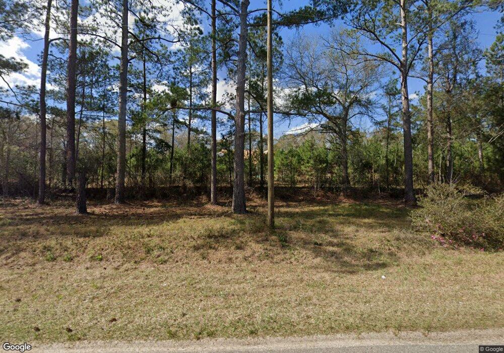
5703 Dixie Barwick Rd Boston, GA 31626
Estimated Value: $262,000 - $1,075,000
Studio
1
Bath
3,782
Sq Ft
$152/Sq Ft
Est. Value
About This Home
This home is located at 5703 Dixie Barwick Rd, Boston, GA 31626 and is currently estimated at $576,251, approximately $152 per square foot. 5703 Dixie Barwick Rd is a home with nearby schools including Quitman Elementary School.
Ownership History
Date
Name
Owned For
Owner Type
Purchase Details
Closed on
Sep 3, 2021
Sold by
Adcock Christopher
Bought by
Gosier Johnny and Mathews Shaneka
Current Estimated Value
Purchase Details
Closed on
Mar 19, 2019
Sold by
Carroll Jackie
Bought by
Adcock Christopher
Purchase Details
Closed on
Sep 23, 2010
Sold by
Greenfield Pam and Greenfield Harriet Clements
Bought by
Carroll Jackie
Purchase Details
Closed on
Aug 31, 2010
Sold by
Greenfield Pam
Bought by
Carroll Jackie
Purchase Details
Closed on
Dec 11, 1996
Sold by
Carroll Mrs and Carroll Helen B
Bought by
Carroll Janice Ruth
Create a Home Valuation Report for This Property
The Home Valuation Report is an in-depth analysis detailing your home's value as well as a comparison with similar homes in the area
Purchase History
| Date | Buyer | Sale Price | Title Company |
|---|---|---|---|
| Gosier Johnny | $28,500 | -- | |
| Adcock Christopher | -- | -- | |
| Carroll Jackie | -- | -- | |
| Carroll Jackie | $12,500 | -- | |
| Carroll Janice Ruth | -- | -- |
Source: Public Records
Tax History Compared to Growth
Tax History
| Year | Tax Paid | Tax Assessment Tax Assessment Total Assessment is a certain percentage of the fair market value that is determined by local assessors to be the total taxable value of land and additions on the property. | Land | Improvement |
|---|---|---|---|---|
| 2025 | $2,375 | $255,800 | $13,520 | $242,280 |
| 2024 | $2,375 | $78,080 | $13,520 | $64,560 |
| 2023 | $2,207 | $71,480 | $13,200 | $58,280 |
| 2022 | $359 | $13,160 | $12,560 | $600 |
| 2021 | $397 | $12,920 | $12,320 | $600 |
| 2020 | $359 | $12,920 | $12,320 | $600 |
| 2019 | $393 | $13,160 | $12,560 | $600 |
| 2018 | $354 | $12,120 | $11,520 | $600 |
| 2017 | $488 | $4,439 | $0 | $4,439 |
| 2016 | $522 | $14,942 | $0 | $0 |
| 2015 | -- | $9,680 | $0 | $0 |
| 2014 | -- | $16,720 | $11,720 | $5,000 |
| 2013 | -- | $16,520 | $11,520 | $5,000 |
Source: Public Records
Map
Nearby Homes
- 431 Dry Lake Rd
- 9900 Ozell Rd
- 2818 Dry Lake Rd
- 7402 Coffee Rd
- 800 Clifford St
- 1038-BA Church St
- 0 Spencer Rd
- 682 Salem Rd
- 1136 Nesbitt Rd
- 130 E Adams St
- 5199 U S 84
- 7921 Five Forks Rd
- 640 Bernice Glenn Rd #5
- 4311 Ozell Rd
- 146 Old Highway 84 W
- 813 Vonier Rd
- 813 Vonier Road (6 Acres)
- 2156 County Road 78
- 13876 Ga Highway 122
- 110 Nicole Britt Dr
- 1467 Dry Lake Rd
- 5595 Dixie Barwick Rd
- 00 Dixie-Barwick Rd
- 0000 Dixie-Barwick Rd
- 5592 Dixie Barwick Rd
- 799 Dry Lake Rd
- 1062 Dry Lake Rd
- 5460 Dixie Barwick Rd
- 1236 Dry Lake Rd
- 600 Dry Lake Rd
- 585 Dry Lake Rd
- 6103 Dixie Barwick Rd
- 550 Dry Lake Rd
- 926 Oaklawn Rd
- 846 Gilmer Cir
- 6169 Dixie Barwick Rd
- 425 Dry Lake Rd
- 00 Dixie Barwick Road 22+ - Acre
- 1036 Gilmer Cir
- 6330 Dixie Barwick Rd
