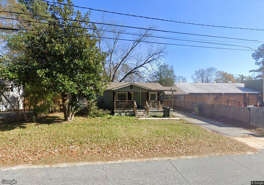
5704 Armour Rd Columbus, GA 31909
Northern Columbus NeighborhoodEstimated Value: $140,000 - $147,000
3
Beds
2
Baths
1,055
Sq Ft
$136/Sq Ft
Est. Value
About This Home
This home is located at 5704 Armour Rd, Columbus, GA 31909 and is currently estimated at $143,256, approximately $135 per square foot. 5704 Armour Rd is a home located in Muscogee County with nearby schools including Allen Elementary School, Arnold Middle School, and Jordan Vocational High School.
Ownership History
Date
Name
Owned For
Owner Type
Purchase Details
Closed on
Oct 17, 2024
Sold by
Faircloth O A
Bought by
Ten 29 Investments Llc
Current Estimated Value
Home Financials for this Owner
Home Financials are based on the most recent Mortgage that was taken out on this home.
Original Mortgage
$101,250
Outstanding Balance
$100,130
Interest Rate
6.08%
Mortgage Type
New Conventional
Estimated Equity
$43,126
Purchase Details
Closed on
Sep 6, 2016
Bought by
Faircloth O A
Create a Home Valuation Report for This Property
The Home Valuation Report is an in-depth analysis detailing your home's value as well as a comparison with similar homes in the area
Home Values in the Area
Average Home Value in this Area
Purchase History
| Date | Buyer | Sale Price | Title Company |
|---|---|---|---|
| Ten 29 Investments Llc | $135,000 | None Listed On Document | |
| Faircloth O A | $10,500 | -- |
Source: Public Records
Mortgage History
| Date | Status | Borrower | Loan Amount |
|---|---|---|---|
| Open | Ten 29 Investments Llc | $101,250 |
Source: Public Records
Tax History Compared to Growth
Tax History
| Year | Tax Paid | Tax Assessment Tax Assessment Total Assessment is a certain percentage of the fair market value that is determined by local assessors to be the total taxable value of land and additions on the property. | Land | Improvement |
|---|---|---|---|---|
| 2025 | $1,798 | $45,944 | $8,008 | $37,936 |
| 2024 | $140 | $35,808 | $8,008 | $27,800 |
| 2023 | $1,411 | $35,808 | $8,008 | $27,800 |
| 2022 | $1,295 | $31,704 | $8,008 | $23,696 |
| 2021 | $1,288 | $29,336 | $8,008 | $21,328 |
| 2020 | $1,198 | $29,336 | $8,008 | $21,328 |
| 2019 | $1,202 | $29,336 | $8,008 | $21,328 |
| 2018 | $1,298 | $31,680 | $8,008 | $23,672 |
| 2017 | $1,302 | $31,680 | $8,008 | $23,672 |
| 2016 | $48 | $8,030 | $1,739 | $6,291 |
| 2015 | $21 | $8,030 | $1,739 | $6,291 |
| 2014 | $21 | $8,030 | $1,739 | $6,291 |
| 2013 | -- | $8,030 | $1,739 | $6,291 |
Source: Public Records
Map
Nearby Homes
- 2528 Lorraine St
- 2516 Lorraine St
- 6225 Westbrook Dr
- 6226 Westbrook Dr
- 6231 Westbrook Dr
- 6232 Westbrook Dr
- 5552 Perry Ave
- 5829 Ventura Dr
- 6308 Adams Park Dr
- 2208 Airport Thruway
- 6200 Fox Chapel Dr
- 2014 Airport Thruway
- 6233 Ashwood Dr
- 3120 Weems Rd
- 5534 Orchard Dr
- 2325 Coventry Dr
- 5239 23rd Ave
- 5608 Grove Ave
- 2119 Lancaster Dr
- 3308 Mustang Dr
- 5714 Armour Rd
- 2611 W Britt David Rd
- 5722 Armour Rd
- 2620 Beech St
- 2615 W Britt David Rd
- 5715 Winsloe Ave
- 5717 Armour Rd
- 5723 Winsloe Ave
- 2569 W Britt David Rd
- 2623 W Britt David Rd
- 5721 Armour Rd
- 5730 Armour Rd
- 2627 Beech St
- 5729 Armour Rd
- 5734 Armour Rd
- 2701 W Britt David Rd
- 2565 W Britt David Rd
- 2633 Beech St
- 5716 Winsloe Ave
- 5738 Armour Rd