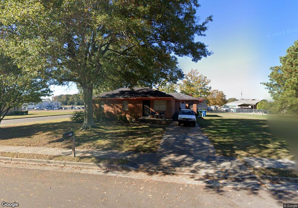
5705 Logan Cir Arlington, TN 38002
Estimated Value: $174,000 - $213,260
3
Beds
2
Baths
1,474
Sq Ft
$133/Sq Ft
Est. Value
About This Home
This home is located at 5705 Logan Cir, Arlington, TN 38002 and is currently estimated at $195,565, approximately $132 per square foot. 5705 Logan Cir is a home located in Shelby County with nearby schools including Arlington Elementary School, Arlington Middle School, and Arlington High School.
Ownership History
Date
Name
Owned For
Owner Type
Purchase Details
Closed on
Jan 5, 2005
Sold by
Carter Fannie and Johnson Reginald
Bought by
Johnson Reginald
Current Estimated Value
Purchase Details
Closed on
May 14, 2004
Sold by
Harwell Jerry D
Bought by
Polston William I
Home Financials for this Owner
Home Financials are based on the most recent Mortgage that was taken out on this home.
Original Mortgage
$202,400
Interest Rate
5.49%
Mortgage Type
Construction
Create a Home Valuation Report for This Property
The Home Valuation Report is an in-depth analysis detailing your home's value as well as a comparison with similar homes in the area
Home Values in the Area
Average Home Value in this Area
Purchase History
| Date | Buyer | Sale Price | Title Company |
|---|---|---|---|
| Johnson Reginald | -- | Fayette County Title Company | |
| Polston William I | $52,900 | -- |
Source: Public Records
Mortgage History
| Date | Status | Borrower | Loan Amount |
|---|---|---|---|
| Closed | Polston William I | $202,400 |
Source: Public Records
Tax History Compared to Growth
Tax History
| Year | Tax Paid | Tax Assessment Tax Assessment Total Assessment is a certain percentage of the fair market value that is determined by local assessors to be the total taxable value of land and additions on the property. | Land | Improvement |
|---|---|---|---|---|
| 2025 | $907 | $35,975 | $8,500 | $27,475 |
| 2024 | $1,814 | $26,750 | $3,000 | $23,750 |
| 2023 | $1,249 | $26,750 | $3,000 | $23,750 |
| 2022 | $1,249 | $26,750 | $3,000 | $23,750 |
| 2021 | $1,265 | $26,750 | $3,000 | $23,750 |
| 2020 | $1,211 | $22,350 | $3,000 | $19,350 |
| 2019 | $905 | $22,350 | $3,000 | $19,350 |
| 2018 | $1,162 | $22,350 | $3,000 | $19,350 |
| 2017 | $1,176 | $22,350 | $3,000 | $19,350 |
| 2016 | $1,145 | $20,750 | $0 | $0 |
| 2014 | $907 | $20,750 | $0 | $0 |
Source: Public Records
Map
Nearby Homes
- 12006 Cranston Dr
- 11771 Mcauley St
- 12035 Brockwell Rd
- 6006 Armistead St
- 11996 Douglass St
- 6071 Woodson St
- 12692 Sacred Oak Cove
- 12080 Goldspring Ln
- 11859 Brown St
- 5118 Lawrenceburg Ln E
- 12258 Richmark Way Dr
- 5573 W Stately Oak Dr
- 12285 Richmark Way Dr
- 0 Airline Rd Unit 10198518
- 12262 Kathleen Cove
- 5690 Ardsley Dr E
- 5714 Ardsley Dr E
- 5624 Draper Trail
- 5712 Chester St
- 11819 Highway 70
- 5706 Airline Rd
- 5715 Logan Cir
- 5706 Logan Cove
- 5714 Airline Rd
- 5688 Airline Rd
- 5677 Sacred Oak Ln
- 12787 Mccartney Ln
- 6490 Clarkson Cir E
- 6506 Clarkson Cir E
- 5768 Hollow Oak Dr E
- 6310 Bevan Lake Dr
- 12304 Wilson Lake Dr
- 5772 Hollow Oak Dr E
- 5767 Hollow Oak Dr E
- 5763 Hollow Oak Dr E
- 6358 Bevan Lake Dr
- 6343 Bevan Lake Dr
- 6325 Bevan Lake Dr
- 6520 Clarkson Cir E
- 5685 Sacred Oak Ln