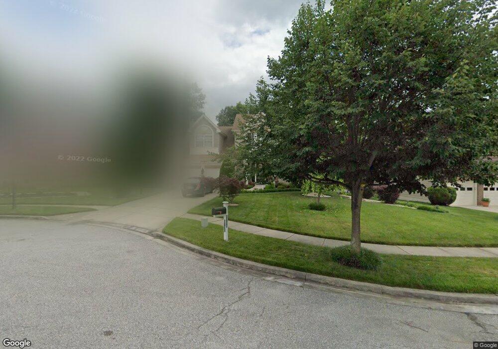
5705 Lyngate Ct Lanham, MD 20706
Estimated Value: $655,371 - $756,000
Studio
4
Baths
2,822
Sq Ft
$247/Sq Ft
Est. Value
About This Home
This home is located at 5705 Lyngate Ct, Lanham, MD 20706 and is currently estimated at $695,843, approximately $246 per square foot. 5705 Lyngate Ct is a home located in Prince George's County with nearby schools including Seabrook Elementary School, Thomas Johnson Middle School, and Duval High School.
Ownership History
Date
Name
Owned For
Owner Type
Purchase Details
Closed on
Apr 22, 2003
Sold by
White Mary M
Bought by
Dieng Bintou and Moussa Diouf
Current Estimated Value
Purchase Details
Closed on
Jun 6, 1997
Sold by
U S Home Corp
Bought by
White Mary M and White Marcel
Purchase Details
Closed on
May 4, 1993
Sold by
Glenn Development Corporation
Bought by
U S Home Corp
Create a Home Valuation Report for This Property
The Home Valuation Report is an in-depth analysis detailing your home's value as well as a comparison with similar homes in the area
Home Values in the Area
Average Home Value in this Area
Purchase History
| Date | Buyer | Sale Price | Title Company |
|---|---|---|---|
| Dieng Bintou | $360,000 | -- | |
| White Mary M | $261,000 | -- | |
| U S Home Corp | $5,115,500 | -- |
Source: Public Records
Tax History
| Year | Tax Paid | Tax Assessment Tax Assessment Total Assessment is a certain percentage of the fair market value that is determined by local assessors to be the total taxable value of land and additions on the property. | Land | Improvement |
|---|---|---|---|---|
| 2025 | $8,046 | $551,467 | -- | -- |
| 2024 | $8,046 | $514,633 | -- | -- |
| 2023 | $5,313 | $477,800 | $101,200 | $376,600 |
| 2022 | $7,289 | $463,767 | $0 | $0 |
| 2021 | $7,081 | $449,733 | $0 | $0 |
| 2020 | $6,872 | $435,700 | $80,600 | $355,100 |
| 2019 | $6,444 | $406,900 | $0 | $0 |
| 2018 | $6,016 | $378,100 | $0 | $0 |
| 2017 | $6,057 | $349,300 | $0 | $0 |
| 2016 | -- | $340,133 | $0 | $0 |
| 2015 | $6,439 | $330,967 | $0 | $0 |
| 2014 | $6,439 | $321,800 | $0 | $0 |
Source: Public Records
Map
Nearby Homes
- 10133 Ellard Dr
- 10102 Ellard Dr
- 5546 Amber St
- 9805 Walnut Ave
- 5904 Justina Dr
- 9937 Franklin St
- 9603 Beachwood Ave
- 9603 Woodland Ave
- 9707 Vang Dr
- 9712 Vang Dr
- 5554 Lanteen St Unit 1105
- 9616 Block St
- 5110 Baltimore Ln
- 5705 Lincoln Ave
- 9524 Dubarry Ave
- 6203 Wood Pointe Dr
- 5722 Glen Ave
- 9911 Ridge St
- 10811 Electric Ave
- 9910 Locust St
- 5703 Lyngate Ct
- 5707 Lyngate Ct
- 5700 Forbes Blvd
- 5701 Lyngate Ct
- 5702 Lyngate Ct
- 5708 Lyngate Ct
- 5706 Lyngate Ct
- 5700 Lyngate Ct
- 10200 Ackerly Terrace
- 10102 Linford Terrace
- 10115 Linford Terrace
- 10113 Linford Terrace
- 10127 Ellard Dr
- 10125 Ellard Dr
- 10204 Ackerly Terrace
- 10111 Linford Terrace
- 10129 Ellard Dr
- 10123 Ellard Dr
- 10131 Ellard Dr
- 10100 Linford Terrace
Your Personal Tour Guide
Ask me questions while you tour the home.