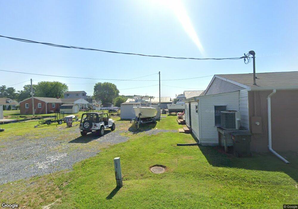
5707 Caroline Ave Unit 1ST FLOOR Rock Hall, MD 21661
Estimated Value: $448,468
--
Bed
--
Bath
3,600
Sq Ft
$125/Sq Ft
Est. Value
About This Home
This home is located at 5707 Caroline Ave Unit 1ST FLOOR, Rock Hall, MD 21661 and is currently estimated at $448,468, approximately $124 per square foot. 5707 Caroline Ave Unit 1ST FLOOR is a home located in Kent County with nearby schools including Center for Innovation, Kent County Middle School, and Kent County High School.
Ownership History
Date
Name
Owned For
Owner Type
Purchase Details
Closed on
Aug 25, 2023
Sold by
Kcb Rock Hall Llc
Bought by
Armstrong Scott R and Armstrong Kathy E
Current Estimated Value
Purchase Details
Closed on
Mar 31, 2006
Sold by
Wacky Parrot Inc
Bought by
Kcb Rock Hall Llc
Purchase Details
Closed on
Feb 23, 1996
Sold by
Baker Francis Wayne and Baker Lynda E
Bought by
Wacky Parrot Inc
Purchase Details
Closed on
Dec 11, 1990
Sold by
Marciano Michael J and Marciano Anne M
Bought by
Baker Francis Wayne and Baker Lynda E
Create a Home Valuation Report for This Property
The Home Valuation Report is an in-depth analysis detailing your home's value as well as a comparison with similar homes in the area
Home Values in the Area
Average Home Value in this Area
Purchase History
| Date | Buyer | Sale Price | Title Company |
|---|---|---|---|
| Armstrong Scott R | $425,000 | None Listed On Document | |
| Kcb Rock Hall Llc | $250,000 | -- | |
| Kcb Rock Hall Llc | $250,000 | -- | |
| Wacky Parrot Inc | $125,000 | -- | |
| Baker Francis Wayne | $210,000 | -- |
Source: Public Records
Tax History Compared to Growth
Tax History
| Year | Tax Paid | Tax Assessment Tax Assessment Total Assessment is a certain percentage of the fair market value that is determined by local assessors to be the total taxable value of land and additions on the property. | Land | Improvement |
|---|---|---|---|---|
| 2025 | $5,875 | $388,067 | $0 | $0 |
| 2024 | $5,765 | $378,300 | $240,300 | $138,000 |
| 2023 | $5,740 | $376,667 | $0 | $0 |
| 2022 | $5,641 | $375,033 | $0 | $0 |
| 2021 | $5,477 | $373,400 | $240,300 | $133,100 |
| 2020 | $5,477 | $371,567 | $0 | $0 |
| 2019 | $5,450 | $369,733 | $0 | $0 |
| 2018 | $5,349 | $367,900 | $240,300 | $127,600 |
| 2017 | $5,308 | $365,033 | $0 | $0 |
| 2016 | -- | $362,167 | $0 | $0 |
| 2015 | $3,581 | $359,300 | $0 | $0 |
| 2014 | $3,581 | $321,633 | $0 | $0 |
Source: Public Records
Map
Nearby Homes
- 21090 W Sharp St Unit 133
- 21090 W Sharp St Unit 112
- 5697 Walnut St
- 5791 S Hawthorne Ave
- 5750 Walnut St
- 21119 Striper Run
- 21163 Chesapeake Ave
- 21131 Striper Run
- 21133 Striper Run
- 21139 Striper Run
- 21141 Striper Run
- 5686 S Main St
- 5829 N Main St
- 21332 E Sharp St
- 0 Judefind Ave Unit MDKE2001688
- 5898 Williams St
- 21305 Haven Rd
- 0 Sharp St Unit MDKE2005760
- 21336 Haven Rd
- 21424 Catholic Ave
- 5707 Caroline Ave
- 20991 Bayside Ave
- 20967 Bayside Ave
- 5676 S Hawthorne Ave
- 20997 Bayside Ave
- 20955 Bayside Ave
- 21007 Bayside Ave
- 21017 Bayside Ave
- 5724 Caroline Ave
- 20982 Bayside Ave
- 20988 Bayside Ave
- 20994 Bayside Ave
- 21000 Bayside Ave
- 21016 Bayside Ave
- 5728 Caroline Ave
- 5681 S Hawthorne Ave
- 20927 Bayside Ave
- 20968 Bayside Ave
- 5707 S Hawthorne Ave
- 5732 S Hawthorne Ave