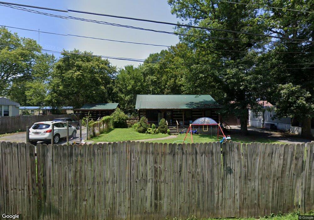
571 Bonanza Dr Unit 573 Newport, TN 37821
Estimated Value: $182,070 - $254,000
--
Bed
2
Baths
1,064
Sq Ft
$207/Sq Ft
Est. Value
About This Home
This home is located at 571 Bonanza Dr Unit 573, Newport, TN 37821 and is currently estimated at $220,268, approximately $207 per square foot. 571 Bonanza Dr Unit 573 is a home located in Cocke County with nearby schools including Northwest Elementary School and Cocke County High School.
Ownership History
Date
Name
Owned For
Owner Type
Purchase Details
Closed on
Mar 17, 2010
Sold by
Mildred Campbell Family Li
Bought by
Austin Bruce Kent
Current Estimated Value
Purchase Details
Closed on
Sep 30, 2009
Sold by
Residential Funding Co Llc
Bought by
Mildred Campbell Family Limite
Purchase Details
Closed on
May 27, 2008
Sold by
Hooley-Radford Stella Marc
Bought by
Residential Funding Co Llc
Purchase Details
Closed on
Dec 5, 2005
Sold by
Strom Geneva
Bought by
Radford Wilton Clyde
Purchase Details
Closed on
May 24, 1988
Bought by
Strom Geneva
Create a Home Valuation Report for This Property
The Home Valuation Report is an in-depth analysis detailing your home's value as well as a comparison with similar homes in the area
Home Values in the Area
Average Home Value in this Area
Purchase History
| Date | Buyer | Sale Price | Title Company |
|---|---|---|---|
| Austin Bruce Kent | $100,000 | -- | |
| Mildred Campbell Family Limite | $64,900 | -- | |
| Residential Funding Co Llc | $106,250 | -- | |
| Radford Wilton Clyde | $136,500 | -- | |
| Strom Geneva | $6,000 | -- |
Source: Public Records
Tax History Compared to Growth
Tax History
| Year | Tax Paid | Tax Assessment Tax Assessment Total Assessment is a certain percentage of the fair market value that is determined by local assessors to be the total taxable value of land and additions on the property. | Land | Improvement |
|---|---|---|---|---|
| 2024 | $681 | $26,600 | $2,150 | $24,450 |
| 2023 | $681 | $26,600 | $2,150 | $24,450 |
| 2022 | $682 | $26,600 | $2,150 | $24,450 |
| 2021 | $682 | $26,600 | $2,150 | $24,450 |
| 2020 | $677 | $26,600 | $2,150 | $24,450 |
| 2019 | $677 | $23,925 | $2,150 | $21,775 |
| 2018 | $677 | $23,925 | $2,150 | $21,775 |
| 2017 | $694 | $23,925 | $2,150 | $21,775 |
| 2016 | $619 | $23,925 | $2,150 | $21,775 |
| 2015 | $639 | $23,925 | $2,150 | $21,775 |
| 2014 | $639 | $23,925 | $2,150 | $21,775 |
| 2013 | $639 | $26,625 | $2,100 | $24,525 |
Source: Public Records
Map
Nearby Homes
- 580 Jessica Way
- 574 Banjo Way
- 573 Banjo Way
- 584 Flatwoods Way
- 0 Long Ave
- 499 Long Ave Unit LOT 16
- 0 Peaceful Ln
- 613 North St
- 587 North St
- 141 Hiola St
- 491 Justus St
- 4317 River Chase Trail
- 640 N Cecil St
- 278 Harvest St
- 0 Alpine Rd
- 401 North St
- 300 Harvest St
- 380 Clifton Heights Rd
- 384 Bridgefield Way
- 151 Clear Creek Rd