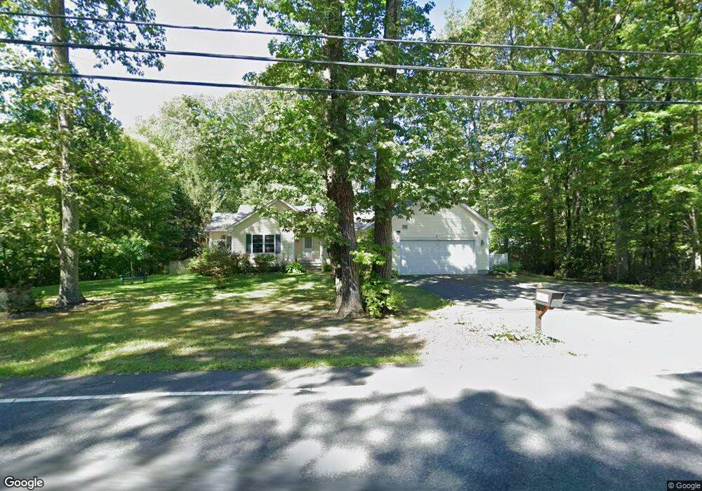
571 Burts Pit Rd Florence, MA 01062
Florence NeighborhoodEstimated Value: $736,292 - $808,000
3
Beds
3
Baths
1,788
Sq Ft
$432/Sq Ft
Est. Value
About This Home
This home is located at 571 Burts Pit Rd, Florence, MA 01062 and is currently estimated at $773,073, approximately $432 per square foot. 571 Burts Pit Rd is a home located in Hampshire County with nearby schools including Northampton High School, Hilltown Cooperative Charter Public School, and Campus School of Smith College.
Ownership History
Date
Name
Owned For
Owner Type
Purchase Details
Closed on
Jul 14, 2023
Sold by
Smith Donald A and Rivera-Herrera Juan P
Bought by
Rivera-Herrera Juan P
Current Estimated Value
Purchase Details
Closed on
Oct 14, 2021
Sold by
Smith Ronald W and Smith Donald A
Bought by
Smith Donald A and Rivera-Herrera Juan P
Home Financials for this Owner
Home Financials are based on the most recent Mortgage that was taken out on this home.
Original Mortgage
$253,000
Interest Rate
2.8%
Mortgage Type
Stand Alone Refi Refinance Of Original Loan
Purchase Details
Closed on
Jun 11, 2009
Sold by
Zieminski John H
Bought by
Smith Ronald W and Smith Donald A
Home Financials for this Owner
Home Financials are based on the most recent Mortgage that was taken out on this home.
Original Mortgage
$300,000
Interest Rate
4.82%
Mortgage Type
Purchase Money Mortgage
Create a Home Valuation Report for This Property
The Home Valuation Report is an in-depth analysis detailing your home's value as well as a comparison with similar homes in the area
Home Values in the Area
Average Home Value in this Area
Purchase History
| Date | Buyer | Sale Price | Title Company |
|---|---|---|---|
| Rivera-Herrera Juan P | -- | None Available | |
| Rivera-Herrera Juan P | -- | None Available | |
| Smith Donald A | -- | None Available | |
| Smith Donald A | -- | None Available | |
| Smith Ronald W | $405,000 | -- | |
| Smith Ronald W | $405,000 | -- |
Source: Public Records
Mortgage History
| Date | Status | Borrower | Loan Amount |
|---|---|---|---|
| Previous Owner | Smith Donald A | $253,000 | |
| Previous Owner | Smith Ronald W | $300,000 |
Source: Public Records
Tax History Compared to Growth
Tax History
| Year | Tax Paid | Tax Assessment Tax Assessment Total Assessment is a certain percentage of the fair market value that is determined by local assessors to be the total taxable value of land and additions on the property. | Land | Improvement |
|---|---|---|---|---|
| 2025 | $9,695 | $696,000 | $133,900 | $562,100 |
| 2024 | $9,246 | $608,700 | $128,200 | $480,500 |
| 2023 | $8,245 | $520,500 | $116,100 | $404,400 |
| 2022 | $7,483 | $418,300 | $109,400 | $308,900 |
| 2021 | $7,341 | $422,600 | $104,900 | $317,700 |
| 2020 | $7,100 | $422,600 | $104,900 | $317,700 |
| 2019 | $6,991 | $402,500 | $110,300 | $292,200 |
| 2018 | $6,695 | $389,300 | $110,300 | $279,000 |
| 2017 | $6,497 | $389,300 | $110,300 | $279,000 |
| 2016 | $6,291 | $389,300 | $110,300 | $279,000 |
| 2015 | $6,168 | $390,400 | $104,900 | $285,500 |
| 2014 | $6,008 | $390,400 | $104,900 | $285,500 |
Source: Public Records
Map
Nearby Homes
- 100 Emerson Way
- 137 Emerson Way
- 815 Burts Pit Rd
- 167 Emerson Way
- 723 Florence Rd
- 138 Overlook Dr
- 321 Riverside Dr
- 325 Riverside Dr
- 11 Norwood Ave
- 269 Ryan Rd
- 8 Tara Cir
- 95 Autumn Dr
- 39 Matthew Dr
- 37 Landy Ave
- 36 Landy Ave
- 225 Nonotuck St Unit C
- 63 Riverside Dr
- 48 Chapel St Unit A
- 152 S Main St Unit 8
- 152 S Main St Unit 4
- 573 Burts Pit Rd
- 589 Burts Pit Rd
- 568 Burts Pit Rd
- 564 Burts Pit Rd
- 572 Burts Pit Rd
- 577 Burts Pit Rd
- 576 Burts Pit Rd
- 560 Burts Pit Rd
- 43 Platinum Cir
- 569 Burts Pit Rd
- 49 Platinum Cir
- 580 Burts Pit Rd
- 581 Burts Pit Rd
- 36 Platinum Cir
- 556 Burts Pit Rd
- 42 Platinum Cir
- 76 Platinum Cir
- 591 Burts Pit Rd
- 584 Burts Pit Rd
- 48 Platinum Cir