571 Camp Fuller Rd Wakefield, RI 02879
Estimated Value: $2,270,000 - $2,656,000
4
Beds
3
Baths
4,556
Sq Ft
$527/Sq Ft
Est. Value
About This Home
This home is located at 571 Camp Fuller Rd, Wakefield, RI 02879 and is currently estimated at $2,399,685, approximately $526 per square foot. 571 Camp Fuller Rd is a home located in Washington County with nearby schools including South Kingstown High School.
Ownership History
Date
Name
Owned For
Owner Type
Purchase Details
Closed on
Apr 5, 2007
Sold by
Johnson Peter A
Bought by
Carbone David and Carbone Anita
Current Estimated Value
Home Financials for this Owner
Home Financials are based on the most recent Mortgage that was taken out on this home.
Original Mortgage
$350,000
Outstanding Balance
$212,781
Interest Rate
6.25%
Mortgage Type
Purchase Money Mortgage
Estimated Equity
$2,186,904
Create a Home Valuation Report for This Property
The Home Valuation Report is an in-depth analysis detailing your home's value as well as a comparison with similar homes in the area
Home Values in the Area
Average Home Value in this Area
Purchase History
| Date | Buyer | Sale Price | Title Company |
|---|---|---|---|
| Carbone David | $1,095,000 | -- |
Source: Public Records
Mortgage History
| Date | Status | Borrower | Loan Amount |
|---|---|---|---|
| Open | Carbone David | $350,000 | |
| Previous Owner | Carbone David | $160,000 | |
| Previous Owner | Carbone David | $150,000 |
Source: Public Records
Tax History Compared to Growth
Tax History
| Year | Tax Paid | Tax Assessment Tax Assessment Total Assessment is a certain percentage of the fair market value that is determined by local assessors to be the total taxable value of land and additions on the property. | Land | Improvement |
|---|---|---|---|---|
| 2025 | $18,720 | $2,094,000 | $1,360,700 | $733,300 |
| 2024 | $21,056 | $1,905,500 | $1,219,500 | $686,000 |
| 2023 | $21,056 | $1,905,500 | $1,219,500 | $686,000 |
| 2022 | $18,565 | $1,920,600 | $1,219,500 | $701,100 |
| 2021 | $18,565 | $1,284,800 | $767,500 | $517,300 |
| 2020 | $18,565 | $1,284,800 | $767,500 | $517,300 |
| 2019 | $18,565 | $1,284,800 | $767,500 | $517,300 |
| 2018 | $18,212 | $1,161,500 | $738,000 | $423,500 |
| 2017 | $17,783 | $1,161,500 | $738,000 | $423,500 |
| 2016 | $17,527 | $1,161,500 | $738,000 | $423,500 |
| 2015 | $16,741 | $1,078,700 | $672,600 | $406,100 |
| 2014 | $16,698 | $1,078,700 | $672,600 | $406,100 |
Source: Public Records
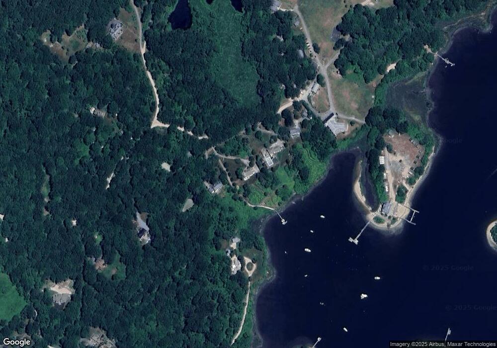
Map
Nearby Homes
- 380 Camp Fuller Rd
- 40 Wild Rose Ct
- 103 Cedar Island Rd
- 16 High Tides Ln
- 23 E Matunuck Farm Dr
- 1591 Commodore Perry Hwy
- 2139 Commodore Oliver Hazard Perry Hwy
- 17 Goose Island Rd
- 25 Scallop Shell Rd
- 76 Hartford Ave
- 62 Daytona Ave
- 60 Daytona Ave
- 47 Tuckertown Rd
- 45 Durkin Dr
- 580 Point Judith Rd
- 576 Point Judith Rd
- 689 Succotash Rd
- 691 Succotash Rd
- 660 Point Judith Rd Unit D2
- 14 E Pointe Ct Unit 14
- 591 Camp Fuller Rd
- 557 Camp Fuller Rd
- 605 Camp Fuller Rd
- 118 Turner Cove Way
- 485 Camp Fuller Rd
- 619 Camp Fuller Rd
- 500 Camp Fuller Rd
- 455 Camp Fuller Rd
- 285 Turner Cove Way
- 100 Wilderness Trail
- 84 Turner Cove Way
- 56 Turner Cove Way
- 0013 Camp Fuller Rd
- 0024 Camp Fuller Rd
- 265 Turner Cove Way
- 50 Wilderness Trail
- 00 Camp Fuller Rd
- 01 Camp Fuller Rd
- 02 Camp Fuller Rd
- 65 Turner Cove Way