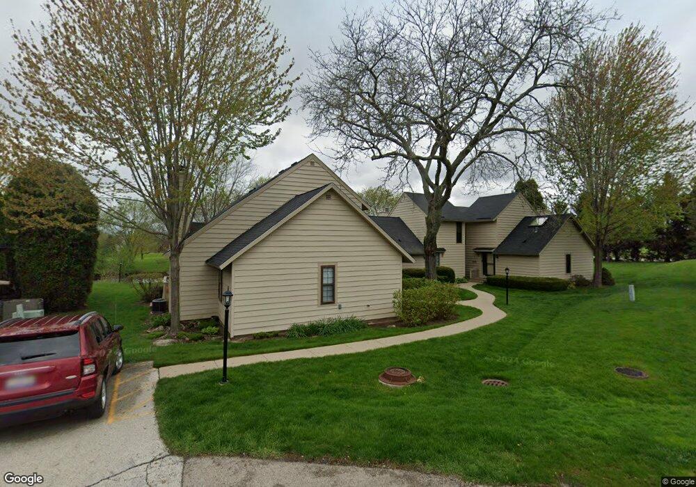
571 Dunham Rd Unit U293 Gurnee, IL 60031
Estimated Value: $210,506 - $227,000
2
Beds
2
Baths
1,162
Sq Ft
$188/Sq Ft
Est. Value
About This Home
This home is located at 571 Dunham Rd Unit U293, Gurnee, IL 60031 and is currently estimated at $218,127, approximately $187 per square foot. 571 Dunham Rd Unit U293 is a home located in Lake County with nearby schools including Woodland Primary School, Woodland Elementary School, and Woodland Intermediate School.
Ownership History
Date
Name
Owned For
Owner Type
Purchase Details
Closed on
Dec 19, 2024
Sold by
Cheryl Lynne Lewis Living Trust and Lewis Cheryl L
Bought by
Lewis Cheryl L and Lewis Jonathan R
Current Estimated Value
Purchase Details
Closed on
Dec 19, 2023
Sold by
Lewis Albert R and Lewis Cheryl L
Bought by
Cheryl Lynne Lewis Living Trust and Lewis
Purchase Details
Closed on
May 2, 2023
Sold by
Benjamin Deborah
Bought by
Lewis Cheryl and Lewis Albert
Home Financials for this Owner
Home Financials are based on the most recent Mortgage that was taken out on this home.
Original Mortgage
$135,375
Interest Rate
7%
Mortgage Type
New Conventional
Purchase Details
Closed on
Feb 24, 2005
Sold by
Benjamin Solly M
Bought by
Benjamin Solly M and Battaglia Donna L
Purchase Details
Closed on
Aug 10, 1995
Sold by
Tomasso Robert G and Tomasso Gail D
Bought by
Benjamin Sol
Home Financials for this Owner
Home Financials are based on the most recent Mortgage that was taken out on this home.
Original Mortgage
$82,900
Interest Rate
7.81%
Create a Home Valuation Report for This Property
The Home Valuation Report is an in-depth analysis detailing your home's value as well as a comparison with similar homes in the area
Home Values in the Area
Average Home Value in this Area
Purchase History
| Date | Buyer | Sale Price | Title Company |
|---|---|---|---|
| Lewis Cheryl L | -- | None Listed On Document | |
| Cheryl Lynne Lewis Living Trust | -- | None Listed On Document | |
| Lewis Cheryl | $180,500 | Fidelity National Title | |
| Benjamin Solly M | -- | -- | |
| Benjamin Sol | $93,000 | Attorneys Natl Title Network |
Source: Public Records
Mortgage History
| Date | Status | Borrower | Loan Amount |
|---|---|---|---|
| Previous Owner | Lewis Cheryl | $135,375 | |
| Previous Owner | Benjamin Sol | $82,900 |
Source: Public Records
Tax History Compared to Growth
Tax History
| Year | Tax Paid | Tax Assessment Tax Assessment Total Assessment is a certain percentage of the fair market value that is determined by local assessors to be the total taxable value of land and additions on the property. | Land | Improvement |
|---|---|---|---|---|
| 2024 | $5,199 | $56,983 | $8,185 | $48,798 |
| 2023 | $4,321 | $52,904 | $7,599 | $45,305 |
| 2022 | $4,321 | $44,333 | $5,929 | $38,404 |
| 2021 | $3,693 | $40,146 | $5,369 | $34,777 |
| 2020 | $2,574 | $39,159 | $5,237 | $33,922 |
| 2019 | $2,487 | $38,022 | $5,085 | $32,937 |
| 2018 | $1,975 | $32,973 | $2,676 | $30,297 |
| 2017 | $1,941 | $32,028 | $2,599 | $29,429 |
| 2016 | $1,884 | $30,602 | $2,483 | $28,119 |
| 2015 | $1,785 | $29,023 | $2,355 | $26,668 |
| 2014 | $1,631 | $27,502 | $2,323 | $25,179 |
| 2012 | $2,718 | $27,713 | $2,341 | $25,372 |
Source: Public Records
Map
Nearby Homes
- 690 Chandler Rd Unit 207
- 690 Chandler Rd Unit 305
- 651 White Ct
- 638 Dordan Ct
- 6121 Brookstone Place
- 741 Colby Ct Unit U42
- 776 Chandler Rd
- 6161 Oakmont Ln
- 6191 Oakmont Ln
- 6296 Doral Dr
- 711 Creekside Cir Unit 103
- 600 Creekside Cir Unit 85
- 6141 Crossland Blvd
- 917 Vose Dr Unit 304
- 640 Wilbur Ct
- 920 Vose Dr Unit 304
- 920 Vose Dr Unit 106
- 920 Vose Dr Unit 105
- 6359 Doral Dr
- 6402 Barn Swallow Ct
- 573 Dunham Rd
- 569 Dunham Rd
- 575 Dunham Rd Unit U303
- 565 Dunham Rd Unit U290
- 577 Dunham Rd
- 563 Dunham Rd Unit U289
- 579 Dunham Rd Unit U305
- 561 Dunham Rd Unit U292
- 581 Dunham Rd Unit U306
- 559 Dunham Rd Unit U287
- 587 Dunham Rd
- 6001 Pebble Creek Ct
- 589 Dunham Rd Unit U312
- 588 Dunham Rd
- 591 Dunham Rd Unit U313
- 6009 Pebble Creek Ct
- 590 Dunham Rd Unit U298
- 594 Dunham Rd Unit U301
- 593 Dunham Rd