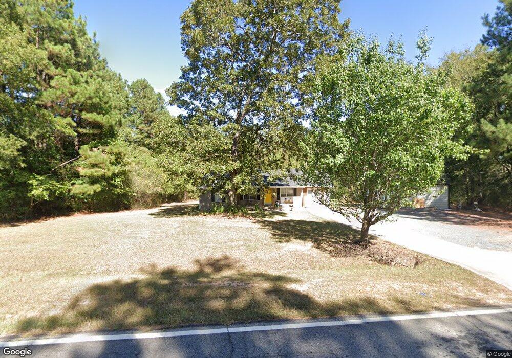
571 Grove St Barnesville, GA 30204
Estimated Value: $226,580 - $267,000
2
Beds
2
Baths
1,406
Sq Ft
$180/Sq Ft
Est. Value
About This Home
This home is located at 571 Grove St, Barnesville, GA 30204 and is currently estimated at $253,145, approximately $180 per square foot. 571 Grove St is a home located in Lamar County with nearby schools including Lamar County Primary School, Lamar County Elementary School, and Lamar County Middle School.
Ownership History
Date
Name
Owned For
Owner Type
Purchase Details
Closed on
Oct 26, 2007
Sold by
Flynt Willie Terry
Bought by
Lamothe William J and Lamothe Wendy T
Current Estimated Value
Home Financials for this Owner
Home Financials are based on the most recent Mortgage that was taken out on this home.
Original Mortgage
$85,107
Outstanding Balance
$53,081
Interest Rate
6.37%
Mortgage Type
FHA
Estimated Equity
$200,064
Purchase Details
Closed on
Jul 14, 2003
Sold by
Flynt Willie T
Bought by
Flynt Willie Terry
Purchase Details
Closed on
Sep 1, 1989
Sold by
Flynt Willie T
Bought by
Flynt Willie T
Create a Home Valuation Report for This Property
The Home Valuation Report is an in-depth analysis detailing your home's value as well as a comparison with similar homes in the area
Home Values in the Area
Average Home Value in this Area
Purchase History
| Date | Buyer | Sale Price | Title Company |
|---|---|---|---|
| Lamothe William J | $86,444 | -- | |
| Flynt Willie Terry | -- | -- | |
| Flynt Willie T | -- | -- |
Source: Public Records
Mortgage History
| Date | Status | Borrower | Loan Amount |
|---|---|---|---|
| Open | Lamothe William J | $85,107 |
Source: Public Records
Tax History Compared to Growth
Tax History
| Year | Tax Paid | Tax Assessment Tax Assessment Total Assessment is a certain percentage of the fair market value that is determined by local assessors to be the total taxable value of land and additions on the property. | Land | Improvement |
|---|---|---|---|---|
| 2025 | $1,646 | $74,420 | $5,995 | $68,425 |
| 2024 | $1,646 | $66,187 | $5,995 | $60,192 |
| 2023 | $1,581 | $59,167 | $5,995 | $53,172 |
| 2022 | $1,464 | $54,932 | $4,196 | $50,736 |
| 2021 | $1,236 | $43,016 | $3,116 | $39,900 |
| 2020 | $1,232 | $40,832 | $3,116 | $37,716 |
| 2019 | $1,000 | $33,422 | $3,116 | $30,306 |
| 2018 | $960 | $33,422 | $3,116 | $30,306 |
| 2017 | $955 | $33,422 | $3,116 | $30,306 |
| 2016 | $956 | $33,422 | $3,116 | $30,306 |
| 2015 | $951 | $33,421 | $3,116 | $30,306 |
| 2014 | $922 | $33,421 | $3,116 | $30,306 |
| 2013 | -- | $33,421 | $3,115 | $30,305 |
Source: Public Records
Map
Nearby Homes
- 0 Piedmont Rd Unit 10600733
- 113 Heatherwood Ln
- 295 Grove St
- 178 Barnesville Ave
- 746 Highway 18 W
- 0 Silver Dollar Rd Unit 10552561
- 0 Washington Cir
- 13 Brown St
- 967 Five Points Rd
- 0 Main St Unit 10586668
- 0 Main St Unit 10585681
- 704 Old Milner Rd
- 339 Atlanta St
- 245 Atlanta St
- 250 Mill St
- 420 Zebulon St
- 130 Catalpa Rd
- 126 Catalpa Rd
- 0 Mill St Unit 10420113
- 135 Catalpa Rd
- 548 Grove St
- 587 Grove St
- 546 Grove St
- 602 Grove St
- 605 Grove St
- 504 Grove St
- 504 Grove St Unit PARCELS
- 521 Grove St
- 634 Grove St
- 668 Grove St
- 672 Grove St
- 316 Grove St
- 614 Grove St
- 0 Grove St Unit 8387534
- 0 Grove St Unit 7043838
- 0 Grove St Unit 7055174
- 0 Grove St Unit 7264160
- 0 Grove St Unit 8067463
- 0 Grove St Unit 8198011
- 0 Grove St Unit 25.28 ACRES 10410985