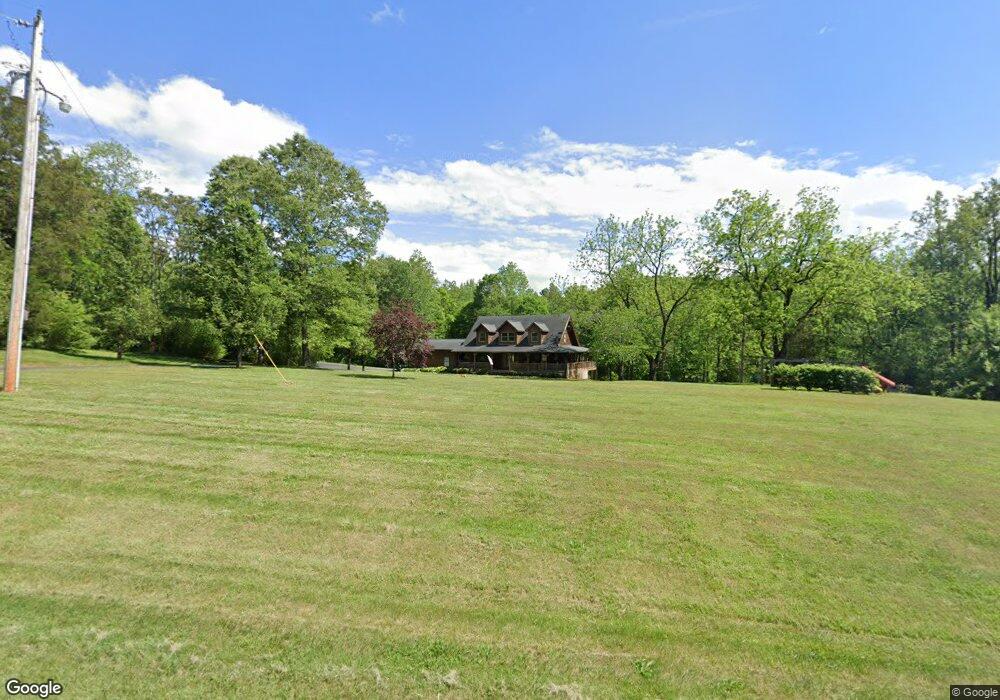
571 Guy Heavner Rd Lincolnton, NC 28092
Estimated Value: $393,000 - $610,342
3
Beds
3
Baths
2,304
Sq Ft
$210/Sq Ft
Est. Value
About This Home
This home is located at 571 Guy Heavner Rd, Lincolnton, NC 28092 and is currently estimated at $483,836, approximately $209 per square foot. 571 Guy Heavner Rd is a home located in Lincoln County with nearby schools including Norris S. Childers Elementary School, West Lincoln Middle, and West Lincoln High School.
Ownership History
Date
Name
Owned For
Owner Type
Purchase Details
Closed on
Feb 3, 2003
Bought by
Hester Danny Eugene and Hester Joyce D
Current Estimated Value
Purchase Details
Closed on
Nov 16, 2001
Bought by
Jenkins Stephen Ray and Janet Lorie
Purchase Details
Closed on
May 25, 2001
Bought by
C & M Land Company
Purchase Details
Closed on
May 15, 2000
Bought by
Dellinger Lisa R
Create a Home Valuation Report for This Property
The Home Valuation Report is an in-depth analysis detailing your home's value as well as a comparison with similar homes in the area
Home Values in the Area
Average Home Value in this Area
Purchase History
| Date | Buyer | Sale Price | Title Company |
|---|---|---|---|
| Hester Danny Eugene | $61,000 | -- | |
| Jenkins Stephen Ray | $65,000 | -- | |
| C & M Land Company | $45,000 | -- | |
| Dellinger Lisa R | $62,000 | -- |
Source: Public Records
Tax History Compared to Growth
Tax History
| Year | Tax Paid | Tax Assessment Tax Assessment Total Assessment is a certain percentage of the fair market value that is determined by local assessors to be the total taxable value of land and additions on the property. | Land | Improvement |
|---|---|---|---|---|
| 2025 | $3,129 | $471,066 | $68,985 | $402,081 |
| 2024 | $3,109 | $471,066 | $68,985 | $402,081 |
| 2023 | $3,109 | $471,066 | $68,985 | $402,081 |
| 2022 | $2,326 | $293,018 | $51,807 | $241,211 |
| 2021 | $2,326 | $293,018 | $51,807 | $241,211 |
| 2020 | $2,152 | $293,018 | $51,807 | $241,211 |
| 2019 | $2,152 | $293,018 | $51,807 | $241,211 |
| 2018 | $2,008 | $259,773 | $51,694 | $208,079 |
| 2017 | $1,905 | $259,773 | $51,694 | $208,079 |
| 2016 | $1,905 | $259,773 | $51,694 | $208,079 |
| 2015 | $1,950 | $259,773 | $51,694 | $208,079 |
| 2014 | $2,048 | $279,565 | $54,094 | $225,471 |
Source: Public Records
Map
Nearby Homes
- 1495 Leonards Fork Church Rd
- 142 Alf Hoover Rd
- 3987 W Highway 27
- 00 Flay Rd
- 1000 Creekside Dr
- 4850 Gideon Dr
- 4832 Gideon Dr
- 508 Shoal Rd
- 4773 Westwinds Rd
- 3300 Paul Heavner Ln
- 00 Wilson Ct Unit 15
- 00 Wilson Ct Unit 13
- 00 Wilson Ct Unit 12
- 5118 Flay Rd
- 00 McCurry Farm Ln Unit F1 & F2
- 1084 Lyndsey Brook Ct
- 2124 Shoal Rd
- 00 Westwinds Rd Unit F3
- 1074 Lyndsey Brook Ct
- 938 Lyndsey Brook Ct
- 637 Guy Heavner Rd
- 529 Guy Heavner Rd
- 506 Guy Heavner Rd
- 521 Guy Heavner Rd
- 512 Guy Heavner Rd
- 658 Guy Heavner Rd
- 454 Guy Heavner Rd
- 479 Guy Heavner Rd
- 701 Guy Heavner Rd
- 444 Guy Heavner Rd
- 668 Guy Heavner Rd
- 469 Guy Heavner Rd
- 457 Guy Heavner Rd
- 775 Guy Heavner Rd
- 408 Guy Heavner Rd
- 358 Guy Heavner Rd
- 760 Guy Heavner Rd
- 298 McGee Rd
- 842 Guy Heavner Rd
- 775 Reep Brothers Rd