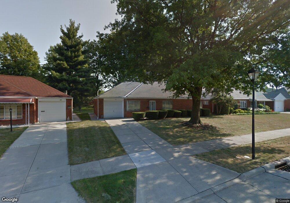
571 Hemlock Dr Euclid, OH 44132
Estimated Value: $153,096 - $191,000
3
Beds
2
Baths
1,401
Sq Ft
$123/Sq Ft
Est. Value
About This Home
This home is located at 571 Hemlock Dr, Euclid, OH 44132 and is currently estimated at $172,774, approximately $123 per square foot. 571 Hemlock Dr is a home located in Cuyahoga County with nearby schools including Shoreview Elementary School, Euclid High School, and Mater Dei Academy.
Ownership History
Date
Name
Owned For
Owner Type
Purchase Details
Closed on
Apr 11, 2024
Sold by
Riccardi Rick and Ricciardi Rick
Bought by
Rick And Pamela A Ricciardi Living Trust and Ricciardi
Current Estimated Value
Purchase Details
Closed on
Jul 22, 2017
Sold by
Mann Philip M and Mann Joida
Bought by
Riccardi Rick
Purchase Details
Closed on
Jul 11, 1988
Sold by
Mann Philip M
Bought by
Mann Kathryn M
Purchase Details
Closed on
Feb 1, 1979
Sold by
Mann Philip M and Mann Kathryn M
Bought by
Mann Philip M
Purchase Details
Closed on
Jan 1, 1975
Bought by
Mann Philip M and Mann Kathryn M
Create a Home Valuation Report for This Property
The Home Valuation Report is an in-depth analysis detailing your home's value as well as a comparison with similar homes in the area
Home Values in the Area
Average Home Value in this Area
Purchase History
| Date | Buyer | Sale Price | Title Company |
|---|---|---|---|
| Rick And Pamela A Ricciardi Living Trust | -- | None Listed On Document | |
| Riccardi Rick | $10,080 | Ohio Real Title | |
| Mann Kathryn M | -- | -- | |
| Mann Philip M | -- | -- | |
| Mann Philip M | -- | -- |
Source: Public Records
Tax History
| Year | Tax Paid | Tax Assessment Tax Assessment Total Assessment is a certain percentage of the fair market value that is determined by local assessors to be the total taxable value of land and additions on the property. | Land | Improvement |
|---|---|---|---|---|
| 2024 | $3,601 | $51,555 | $10,185 | $41,370 |
| 2023 | $3,389 | $38,710 | $8,995 | $29,715 |
| 2022 | $3,313 | $38,710 | $9,000 | $29,720 |
| 2021 | $3,619 | $38,710 | $9,000 | $29,720 |
| 2020 | $3,037 | $29,330 | $6,830 | $22,510 |
| 2019 | $2,731 | $83,800 | $19,500 | $64,300 |
| 2018 | $2,266 | $29,330 | $6,830 | $22,510 |
| 2017 | $1,922 | $25,380 | $5,500 | $19,880 |
| 2016 | $1,927 | $25,380 | $5,500 | $19,880 |
| 2015 | $1,757 | $25,380 | $5,500 | $19,880 |
| 2014 | $1,757 | $25,380 | $5,500 | $19,880 |
Source: Public Records
Map
Nearby Homes
- 591 Hemlock Dr
- 597 Hemlock Dr
- 27125 Mallard Ave
- 27190 Zeman Ave
- 26931 Shoreview Ave
- 670 Hemlock Dr
- 440 E 271st St
- 26831 Shoreview Ave
- 27430 Forestview Ave
- 730 Hemlock Dr
- 610 E 266th St
- 27175 Cameron Ave
- 427 E 275th St
- 625 Lloyd Rd
- 26351 Farringdon Ave
- 29310 Grand Blvd
- 815 E 272nd St
- 26430 Drakefield Ave
- 325 E 264th St
- 643 E 261st St
- 569 Hemlock Dr
- 573 Hemlock Dr
- 567 Hemlock Dr
- 575 Hemlock Dr
- 546 Sycamore Dr
- 542 Sycamore Dr
- 554 Sycamore Dr
- 572 Hemlock Dr
- 568 Hemlock Dr
- 538 Sycamore Dr
- 560 Sycamore Dr
- 579 Hemlock Dr
- 563 Hemlock Dr
- 576 Hemlock Dr
- 564 Hemlock Dr
- 534 Sycamore Dr
- 564 Sycamore Dr
- 580 Hemlock Dr
- 583 Hemlock Dr
- 559 Hemlock Dr
Your Personal Tour Guide
Ask me questions while you tour the home.