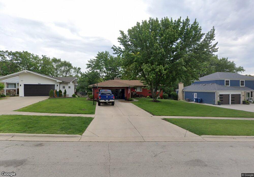
571 Kathy Ln Bartlett, IL 60103
Estimated Value: $432,000 - $536,000
4
Beds
3
Baths
1,847
Sq Ft
$264/Sq Ft
Est. Value
About This Home
This home is located at 571 Kathy Ln, Bartlett, IL 60103 and is currently estimated at $487,914, approximately $264 per square foot. 571 Kathy Ln is a home located in Cook County with nearby schools including Bartlett Elementary School, Eastview Middle School, and South Elgin High School.
Ownership History
Date
Name
Owned For
Owner Type
Purchase Details
Closed on
Oct 1, 2003
Sold by
Humbracht Larry and Humbracht Barbara
Bought by
Harris Sean and Harris Josefina
Current Estimated Value
Home Financials for this Owner
Home Financials are based on the most recent Mortgage that was taken out on this home.
Original Mortgage
$339,450
Interest Rate
4.25%
Mortgage Type
Unknown
Create a Home Valuation Report for This Property
The Home Valuation Report is an in-depth analysis detailing your home's value as well as a comparison with similar homes in the area
Home Values in the Area
Average Home Value in this Area
Purchase History
| Date | Buyer | Sale Price | Title Company |
|---|---|---|---|
| Harris Sean | $365,000 | Premier Title |
Source: Public Records
Mortgage History
| Date | Status | Borrower | Loan Amount |
|---|---|---|---|
| Previous Owner | Harris Sean | $339,450 |
Source: Public Records
Tax History Compared to Growth
Tax History
| Year | Tax Paid | Tax Assessment Tax Assessment Total Assessment is a certain percentage of the fair market value that is determined by local assessors to be the total taxable value of land and additions on the property. | Land | Improvement |
|---|---|---|---|---|
| 2024 | $9,713 | $30,141 | $10,507 | $19,634 |
| 2023 | $9,353 | $34,000 | $10,507 | $23,493 |
| 2022 | $9,353 | $34,000 | $10,507 | $23,493 |
| 2021 | $6,885 | $21,860 | $9,006 | $12,854 |
| 2020 | $6,877 | $21,860 | $9,006 | $12,854 |
| 2019 | $6,840 | $24,289 | $9,006 | $15,283 |
| 2018 | $7,267 | $23,764 | $7,880 | $15,884 |
| 2017 | $7,166 | $23,764 | $7,880 | $15,884 |
| 2016 | $8,204 | $27,495 | $7,880 | $19,615 |
| 2015 | $7,749 | $24,472 | $7,129 | $17,343 |
| 2014 | $7,670 | $24,472 | $7,129 | $17,343 |
| 2013 | $7,355 | $24,472 | $7,129 | $17,343 |
Source: Public Records
Map
Nearby Homes
- 245 Little John Ct
- 109 S Western Ave
- 420 Ford Ln
- 401 W Oneida Ave
- 403 W Oneida Ave
- 215 N Oak Ave
- 238 S Devon Ave
- 130 Regency Dr
- 650 W Old Lake St
- 600 W Lake St
- SWC Illinois Route 59
- 368 Pinoak Dr
- 3075 Kingston Ct
- 271 E Railroad Ave Unit 302
- 275 E Railroad Ave Unit 301
- 4077 Club Tree Dr
- 3098 Lynnwood Ct
- 119 E Railroad Ave
- 2104 Falmouth Ct
- 110 N Chase Ave
- 591 Kathy Ln
- 551 Kathy Ln
- 250 Williamsburg Dr
- 611 Kathy Ln
- 570 W Morse Ave
- 590 W Morse Ave
- 228 Williamsburg Dr
- 235 Little John Ct
- 550 W Morse Ave
- 580 Kathy Ln
- 560 Kathy Ln
- 600 Kathy Ln
- 610 W Morse Ave
- 534 Kathy Ln
- 530 W Morse Ave
- 630 Kathy Ln
- 251 Williamsburg Dr
- 247 Williamsburg Dr
- 250 Little John Ct
- 235 Williamsburg Dr