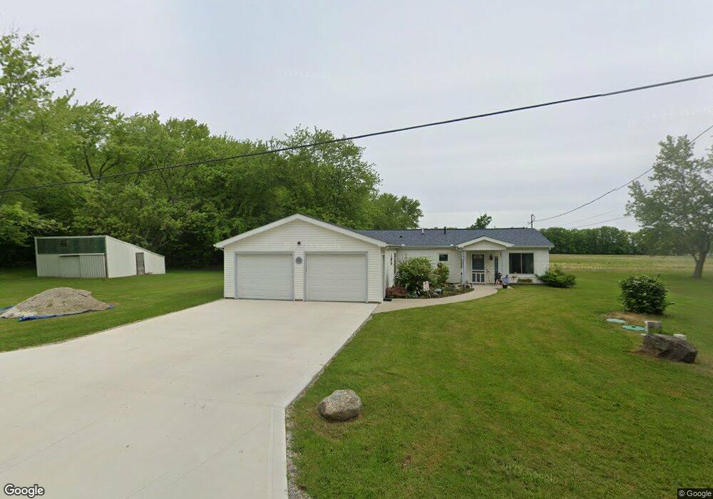
571 Oak St Jefferson, OH 44047
Estimated Value: $38,000 - $171,000
Studio
--
Bath
--
Sq Ft
6,534
Sq Ft Lot
About This Home
This home is located at 571 Oak St, Jefferson, OH 44047 and is currently estimated at $91,000. 571 Oak St is a home located in Ashtabula County with nearby schools including Jefferson Elementary School, Jefferson Area Junior High School, and Jefferson Area Senior High School.
Ownership History
Date
Name
Owned For
Owner Type
Purchase Details
Closed on
Feb 19, 2021
Sold by
Federal Home Loan Mtg Corp
Bought by
Cornell Kevin Hd and Throop Jean M
Current Estimated Value
Purchase Details
Closed on
Jan 29, 2007
Sold by
Hud
Bought by
Wessollek Joseph
Home Financials for this Owner
Home Financials are based on the most recent Mortgage that was taken out on this home.
Original Mortgage
$84,000
Interest Rate
6.27%
Mortgage Type
Purchase Money Mortgage
Purchase Details
Closed on
Jun 12, 2006
Sold by
Schmitz Michael and Schmitz Kathleen
Bought by
Hud
Purchase Details
Closed on
Jul 29, 2004
Sold by
Baker Richard S and Baker Barbara J
Bought by
Schmitz Michael P and Schmitz Kathleen
Home Financials for this Owner
Home Financials are based on the most recent Mortgage that was taken out on this home.
Original Mortgage
$110,482
Interest Rate
6.4%
Mortgage Type
FHA
Create a Home Valuation Report for This Property
The Home Valuation Report is an in-depth analysis detailing your home's value as well as a comparison with similar homes in the area
Purchase History
| Date | Buyer | Sale Price | Title Company |
|---|---|---|---|
| Cornell Kevin Hd | $67,000 | Servicelink | |
| Wessollek Joseph | $84,000 | Lakeside Title & Escrow | |
| Hud | $60,667 | None Available | |
| Schmitz Michael P | $113,900 | Multiple |
Source: Public Records
Mortgage History
| Date | Status | Borrower | Loan Amount |
|---|---|---|---|
| Previous Owner | Wessollek Joseph | $84,000 | |
| Previous Owner | Schmitz Michael P | $110,482 |
Source: Public Records
Tax History
| Year | Tax Paid | Tax Assessment Tax Assessment Total Assessment is a certain percentage of the fair market value that is determined by local assessors to be the total taxable value of land and additions on the property. | Land | Improvement |
|---|---|---|---|---|
| 2024 | $156 | $1,890 | $1,890 | -- |
| 2023 | $85 | $1,890 | $1,890 | $0 |
| 2022 | $71 | $1,440 | $1,440 | $0 |
| 2021 | $70 | $1,440 | $1,440 | $0 |
| 2020 | $69 | $1,440 | $1,440 | $0 |
| 2019 | $82 | $1,680 | $1,680 | $0 |
| 2018 | $79 | $1,680 | $1,680 | $0 |
| 2017 | $77 | $1,680 | $1,680 | $0 |
| 2016 | $75 | $1,540 | $1,540 | $0 |
| 2015 | $73 | $1,540 | $1,540 | $0 |
| 2014 | $71 | $1,540 | $1,540 | $0 |
| 2013 | $64 | $1,400 | $1,400 | $0 |
Source: Public Records
Map
Nearby Homes
- 187 Garfield Ln
- 157 W Monroe Cir
- 0 Vl St Rt 307
- 68 E Ashtabula St
- 2234 Ohio 307
- 309 Woodland Way Unit A
- 138 E Cedar St
- 800 Lenox New Lyme Rd
- 425 Woodside Ave
- 0 State Route 307 Unit 5168871
- 0 State Route 307 Unit LotWP001
- 1821 State Route 307
- 1945 Dadeyville Rd
- 2254 Chapel Rd
- 2631 State Route 46 N
- 1749 Black Sea Rd
- 0000 Black Sea Rd
- 9019 Ohio 45
- 1571 State Route 45
- 0 Griggs Rd Unit 5176126
Your Personal Tour Guide
Ask me questions while you tour the home.