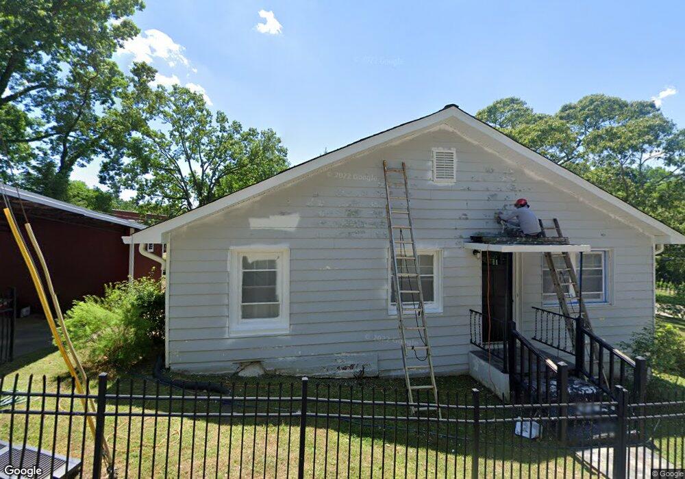
571 Yonah St Cornelia, GA 30531
Estimated Value: $246,000 - $283,000
3
Beds
2
Baths
1,800
Sq Ft
$146/Sq Ft
Est. Value
About This Home
This home is located at 571 Yonah St, Cornelia, GA 30531 and is currently estimated at $262,865, approximately $146 per square foot. 571 Yonah St is a home located in Habersham County with nearby schools including Cornelia Elementary School, Wilbanks Middle School, and Habersham Success Academy.
Ownership History
Date
Name
Owned For
Owner Type
Purchase Details
Closed on
Jun 15, 2009
Sold by
Federal National Mortgage Association
Bought by
Dale Dennis M
Current Estimated Value
Home Financials for this Owner
Home Financials are based on the most recent Mortgage that was taken out on this home.
Original Mortgage
$46,200
Outstanding Balance
$29,221
Interest Rate
4.79%
Mortgage Type
New Conventional
Estimated Equity
$233,644
Purchase Details
Closed on
Aug 5, 2008
Sold by
Aurora Loan Svcs Llc
Bought by
Federal National Mtg Associati
Purchase Details
Closed on
Nov 1, 2006
Sold by
Not Provided
Bought by
Dale Dennis M
Home Financials for this Owner
Home Financials are based on the most recent Mortgage that was taken out on this home.
Original Mortgage
$99,600
Interest Rate
6.31%
Mortgage Type
New Conventional
Create a Home Valuation Report for This Property
The Home Valuation Report is an in-depth analysis detailing your home's value as well as a comparison with similar homes in the area
Home Values in the Area
Average Home Value in this Area
Purchase History
| Date | Buyer | Sale Price | Title Company |
|---|---|---|---|
| Dale Dennis M | $57,750 | -- | |
| Federal National Mtg Associati | $107,436 | -- | |
| Aurora Loan Svcs Llc | $107,436 | -- | |
| Dale Dennis M | $124,700 | -- |
Source: Public Records
Mortgage History
| Date | Status | Borrower | Loan Amount |
|---|---|---|---|
| Open | Dale Dennis M | $46,200 | |
| Previous Owner | Dale Dennis M | $99,600 | |
| Previous Owner | Dale Dennis M | $25,100 |
Source: Public Records
Tax History
| Year | Tax Paid | Tax Assessment Tax Assessment Total Assessment is a certain percentage of the fair market value that is determined by local assessors to be the total taxable value of land and additions on the property. | Land | Improvement |
|---|---|---|---|---|
| 2025 | $2,492 | $96,654 | $22,686 | $73,968 |
| 2024 | -- | $77,540 | $15,236 | $62,304 |
| 2023 | $1,017 | $66,876 | $15,236 | $51,640 |
| 2022 | $1,377 | $56,800 | $12,568 | $44,232 |
| 2021 | $1,222 | $49,020 | $9,520 | $39,500 |
| 2020 | $1,119 | $43,508 | $9,520 | $33,988 |
| 2019 | $1,120 | $43,508 | $9,520 | $33,988 |
| 2018 | $1,111 | $43,508 | $9,520 | $33,988 |
| 2017 | $989 | $38,752 | $7,616 | $31,136 |
| 2016 | $958 | $96,880 | $7,616 | $31,136 |
| 2015 | $947 | $96,880 | $7,616 | $31,136 |
| 2014 | $947 | $95,200 | $7,616 | $30,464 |
| 2013 | -- | $38,080 | $7,616 | $30,464 |
Source: Public Records
Map
Nearby Homes
- 391 Yonah St
- 0 Irvin St
- 169 Short Ave
- 192 Summit St
- 170 Sequoyah Dr
- 169 Esta St
- 125 Maple St
- 142 Galloway St
- 112 Galloway St
- 109 Grove Park Dr
- 605 Chenocetah Dr
- 167 South St
- 795 Wayside St
- 199 Sunrise Cir
- 0 Chase Rd Unit 10658099
- 294 Hillcrest Heights
- 114 Sugar Creek Dr
- 115 Wood St
- 0 Highway 441 Bypass Unit 10428967
- 240 Sugar Maple Dr
Your Personal Tour Guide
Ask me questions while you tour the home.