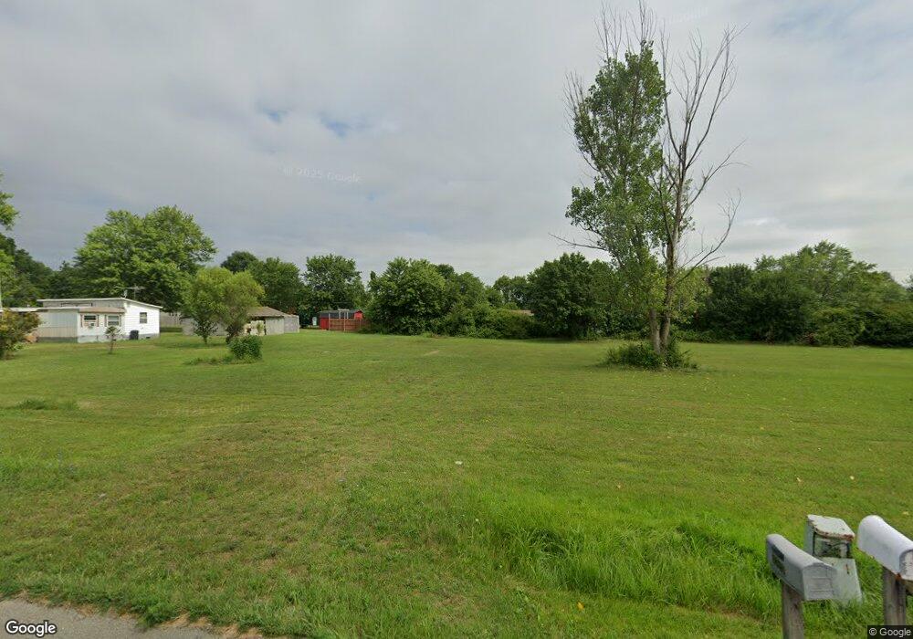
5710 State Route 125 West Union, OH 45693
Estimated Value: $135,000 - $167,000
3
Beds
1
Bath
960
Sq Ft
$157/Sq Ft
Est. Value
About This Home
This home is located at 5710 State Route 125, West Union, OH 45693 and is currently estimated at $151,000, approximately $157 per square foot. 5710 State Route 125 is a home located in Adams County with nearby schools including West Union Elementary School, West Union High School, and Adams County Christian School.
Ownership History
Date
Name
Owned For
Owner Type
Purchase Details
Closed on
Feb 23, 2020
Sold by
Adams County Land Reutilization Corp
Bought by
Thacker Cheria
Current Estimated Value
Purchase Details
Closed on
Jul 27, 2018
Sold by
Moore Fern S
Bought by
Adams County Land Reutilization Cor
Purchase Details
Closed on
Apr 10, 2003
Sold by
Rowland Robert
Bought by
Moore Fern S
Purchase Details
Closed on
Dec 7, 2000
Sold by
Rowland John R
Bought by
Rowland Robert
Purchase Details
Closed on
Dec 5, 2000
Sold by
Rowland John R
Bought by
Rowland John R
Purchase Details
Closed on
Jan 1, 1990
Bought by
Rowland John R
Create a Home Valuation Report for This Property
The Home Valuation Report is an in-depth analysis detailing your home's value as well as a comparison with similar homes in the area
Home Values in the Area
Average Home Value in this Area
Purchase History
| Date | Buyer | Sale Price | Title Company |
|---|---|---|---|
| Thacker Cheria | $1,000 | None Available | |
| Adams County Land Reutilization Cor | -- | -- | |
| Moore Fern S | $25,000 | -- | |
| Rowland Robert | -- | -- | |
| Rowland John R | -- | -- | |
| Rowland John R | -- | -- |
Source: Public Records
Tax History Compared to Growth
Tax History
| Year | Tax Paid | Tax Assessment Tax Assessment Total Assessment is a certain percentage of the fair market value that is determined by local assessors to be the total taxable value of land and additions on the property. | Land | Improvement |
|---|---|---|---|---|
| 2024 | $1,932 | $10,780 | $10,780 | $0 |
| 2023 | $1,025 | $10,780 | $10,780 | $0 |
| 2022 | $370 | $9,380 | $9,380 | $0 |
| 2021 | $367 | $9,380 | $9,380 | $0 |
| 2020 | $0 | $9,380 | $9,380 | $0 |
| 2019 | $0 | $9,380 | $9,380 | $0 |
| 2018 | $702 | $19,110 | $9,380 | $9,730 |
| 2017 | $702 | $19,110 | $9,380 | $9,730 |
| 2016 | $22,092 | $19,110 | $9,380 | $9,730 |
| 2015 | $1,831 | $23,210 | $10,330 | $12,880 |
| 2014 | $823 | $23,210 | $10,330 | $12,880 |
Source: Public Records
Map
Nearby Homes
- 5087 State Route 125
- 5021 Ohio 125
- 9561 Ohio 136
- 80 Madonna Dr
- 93 Jose Dr
- 223 Alex Ln
- 0 Eckmansville Rd
- 4400 Chapparal Rd
- 3287 Chapparal Rd
- 3 Chapparal Rd
- 2 Chapparal Rd
- 1 Chapparal Rd
- 4 Chapparal Rd
- 155 Redbud Ln
- 86 Hawk Hill Rd
- 0 Cic Blvd
- 714 Panhandle Ave
- 0 State Route 41 1 Acre Lot
- 101 S Mound St
- 302 W Main St
- 5688 State Route 125
- 323 Bloom Dr
- 5668 State Route 125
- 5750 Ohio 125
- 5816 Sr 125
- 5750 State Route 125
- 5693 State Route 125
- 293 Bloom Dr
- 5749 State Route 125
- 5675 State Route 125
- 5648 State Route 125
- 387 Bloom Dr
- 387 Bloom Dr
- 5648 St Rt 125
- 5768 State Route 125
- 5792 State Route 125
- 5773 State Route 125
- 370 Bloom Dr
- 5792 Ohio 125
- 400 Bloom Dr