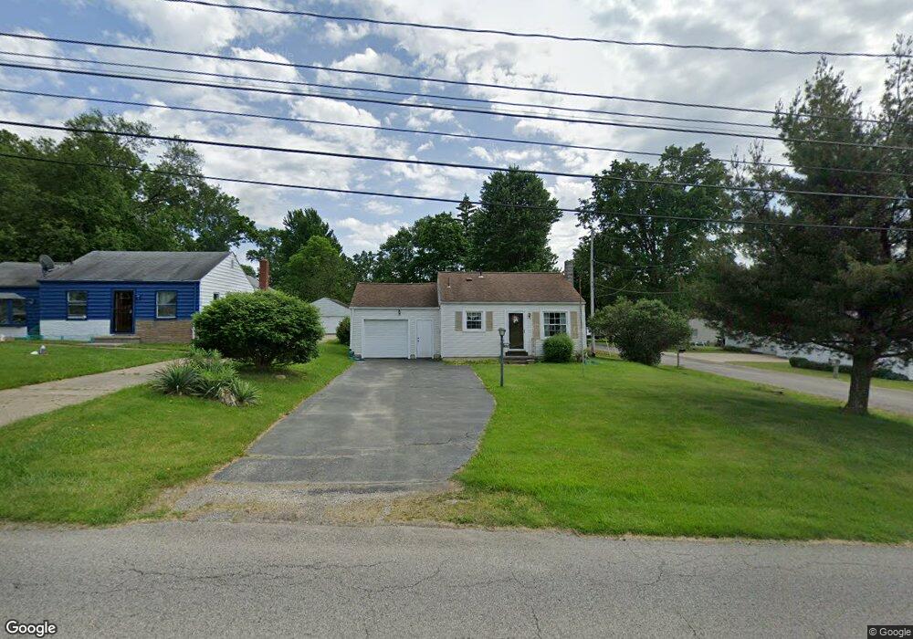
5711 Kirk Rd Canfield, OH 44406
Austintown NeighborhoodEstimated Value: $82,445 - $138,000
About This Home
This home is located at 5711 Kirk Rd, Canfield, OH 44406 and is currently estimated at $110,111, approximately $191 per square foot. 5711 Kirk Rd is a home located in Mahoning County with nearby schools including Austintown Elementary School, Austintown Intermediate School, and Austintown Middle School.
Ownership History
We collect this data history from publicly available records. To have your information removed, we recommend requesting removal directly through your county’s website.
Purchase Details
Purchase Details
Purchase Details
Home Financials for this Owner
Home Financials are based on the most recent Mortgage that was taken out on this home.Purchase Details
Home Financials for this Owner
Home Financials are based on the most recent Mortgage that was taken out on this home.Home Values in the Area
Average Home Value in this Area
Purchase History
We collect this data history from publicly available records. To have your information removed, we recommend requesting removal directly through your county’s website.
| Date | Buyer | Sale Price | Title Company |
|---|---|---|---|
| -- | Attorney | ||
| $36,300 | Attorney | ||
| $64,900 | Attorney | ||
| $41,500 | -- |
Mortgage History
We collect this data history from publicly available records. To have your information removed, we recommend requesting removal directly through your county’s website.
| Date | Status | Borrower | Loan Amount |
|---|---|---|---|
| Previous Owner | $45,400 | ||
| Previous Owner | $41,595 |
Tax History
We collect this data history from publicly available records. To have your information removed, we recommend requesting removal directly through your county’s website.
| Year | Tax Paid | Tax Assessment Tax Assessment Total Assessment is a certain percentage of the fair market value that is determined by local assessors to be the total taxable value of land and additions on the property. | Land | Improvement |
|---|---|---|---|---|
| 2025 | $600 | $22,620 | $2,670 | $19,950 |
| 2024 | $589 | $22,620 | $2,670 | $19,950 |
| 2023 | $608 | $22,620 | $2,670 | $19,950 |
| 2022 | $469 | $17,050 | $3,820 | $13,230 |
| 2021 | $469 | $17,050 | $3,820 | $13,230 |
| 2020 | $471 | $17,050 | $3,820 | $13,230 |
| 2019 | $478 | $16,390 | $3,670 | $12,720 |
| 2018 | $460 | $16,390 | $3,670 | $12,720 |
| 2017 | $457 | $16,390 | $3,670 | $12,720 |
| 2016 | $440 | $16,030 | $3,670 | $12,360 |
| 2015 | $427 | $16,030 | $3,670 | $12,360 |
| 2014 | $429 | $16,030 | $3,670 | $12,360 |
| 2013 | $424 | $16,030 | $3,670 | $12,360 |
Map
- 5860 Kirk Rd
- 2690 S Canfield Niles Rd
- 6369 Ridgeview Ave
- 2371 Penny Ln
- 6416 Ridgeview Ave
- 5547 Cider Mill Crossing
- 5817 Herons Blvd Unit A
- 3415 Darbyshire Dr
- #5 Nashua Dr
- #39 Hasty Rd
- 2219 Woodland Trace St
- 2220 Elm Trace St
- 2158 Elm Trace St
- 5035 New Rd
- 5216 Nashua Dr
- 3300 Meanderwood Dr
- 2189 Woodgate St
- 6884 Slippery Rock Dr
- 3608 Meander Reserve Cir
- 5179 Willow Crest Ave
Ask me questions while you tour the home.