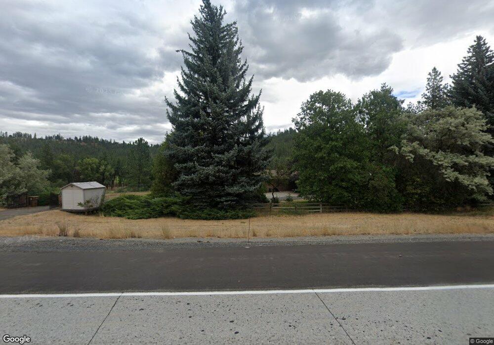
5711 S Inland Empire Way Spokane, WA 99224
Latah Valley NeighborhoodEstimated Value: $796,000 - $1,330,000
6
Beds
5
Baths
2,367
Sq Ft
$396/Sq Ft
Est. Value
About This Home
This home is located at 5711 S Inland Empire Way, Spokane, WA 99224 and is currently estimated at $938,152, approximately $396 per square foot. 5711 S Inland Empire Way is a home located in Spokane County with nearby schools including Mullan Road Elementary School, Sacajawea Middle School, and Lewis & Clark High School.
Ownership History
Date
Name
Owned For
Owner Type
Purchase Details
Closed on
Nov 8, 2012
Sold by
Violette James N and Violette Glennda
Bought by
Warren Eugene and Warren Cheri
Current Estimated Value
Purchase Details
Closed on
Nov 29, 2006
Sold by
Murray Jeanne F
Bought by
St Johns Evangelical Lutheran Church At
Purchase Details
Closed on
Jun 14, 2005
Sold by
Murray William D and Murray Jeanne F
Bought by
Murray Family Trust
Purchase Details
Closed on
Aug 28, 2002
Sold by
Balden James F and Balden Thelma R
Bought by
Violette James N and Violette Glennda
Purchase Details
Closed on
Aug 3, 1990
Sold by
Balden James F and Balden Thelma R
Bought by
Livi James F and Livi Thelma R Balden Revocable
Create a Home Valuation Report for This Property
The Home Valuation Report is an in-depth analysis detailing your home's value as well as a comparison with similar homes in the area
Home Values in the Area
Average Home Value in this Area
Purchase History
| Date | Buyer | Sale Price | Title Company |
|---|---|---|---|
| Warren Eugene | -- | None Available | |
| St Johns Evangelical Lutheran Church At | $785,000 | Spokane County Title Co | |
| Murray Family Trust | -- | -- | |
| Violette James N | $212,000 | Pacific Nw Title | |
| Livi James F | -- | -- |
Source: Public Records
Tax History Compared to Growth
Tax History
| Year | Tax Paid | Tax Assessment Tax Assessment Total Assessment is a certain percentage of the fair market value that is determined by local assessors to be the total taxable value of land and additions on the property. | Land | Improvement |
|---|---|---|---|---|
| 2025 | $6,393 | $637,480 | $116,980 | $520,500 |
| 2024 | $6,393 | $644,980 | $116,980 | $528,000 |
| 2023 | $5,658 | $641,280 | $113,280 | $528,000 |
| 2022 | $5,177 | $579,020 | $75,520 | $503,500 |
| 2021 | $4,487 | $377,520 | $61,720 | $315,800 |
| 2020 | $4,516 | $366,020 | $61,720 | $304,300 |
| 2019 | $4,330 | $362,420 | $61,720 | $300,700 |
| 2018 | $4,699 | $338,020 | $61,720 | $276,300 |
| 2017 | $4,273 | $313,020 | $61,720 | $251,300 |
| 2016 | $4,238 | $303,720 | $61,720 | $242,000 |
| 2015 | $4,337 | $304,120 | $61,720 | $242,400 |
| 2014 | -- | $313,220 | $61,720 | $251,500 |
| 2013 | -- | $0 | $0 | $0 |
Source: Public Records
Map
Nearby Homes
- 5704 S Pony Ct
- NKA S Inland Empire Way
- 5108 S Menaul Ct
- 5811 S Sorrel Ct
- 404 W Trail Ridge Ct
- 522 W Willapa Ct
- 526 W Willapa Ct
- 5415 S Blueridge Dr
- 619 W Persimmon Ln
- 5227 S Lincoln Way
- 5230 S Lincoln Way
- 5218 S Lincoln Way
- 4912 S Kenzie Ln
- 4908 S Kip Ln
- 5436 S Quail Ridge Cir
- 5519 S Chaperon Peak Ct
- 711 W Bolan Ave
- 5430 S Quail Ridge Cir
- 718 W Qualchan Ln
- 815 W Lincoln Blvd
- 11 E Roscoe Ct
- 15 E Roscoe Ct
- 11 E Meadowlane Rd
- 19 E Roscoe Ct
- 15 E Meadowlane Rd
- 23 E Roscoe Ct
- 102 E
- 102 E
- 102 E
- 102 E E
- 27 E Roscoe Ct
- 5824 S Division Place
- 12 E Pheasant Bluff Ave
- 5830 S Division Place
- 103 W Pheasant Bluff Ave
- 5830 S Meadowlane Rd
- 10 W Pheasant Blf Ave Unit 2120
- 10 W Pheasant Blf Ave Unit 1880
- 10 W Pheasant Blf Ave Unit 1671
- 10 W Pheasant Blf Ave Unit 2786
