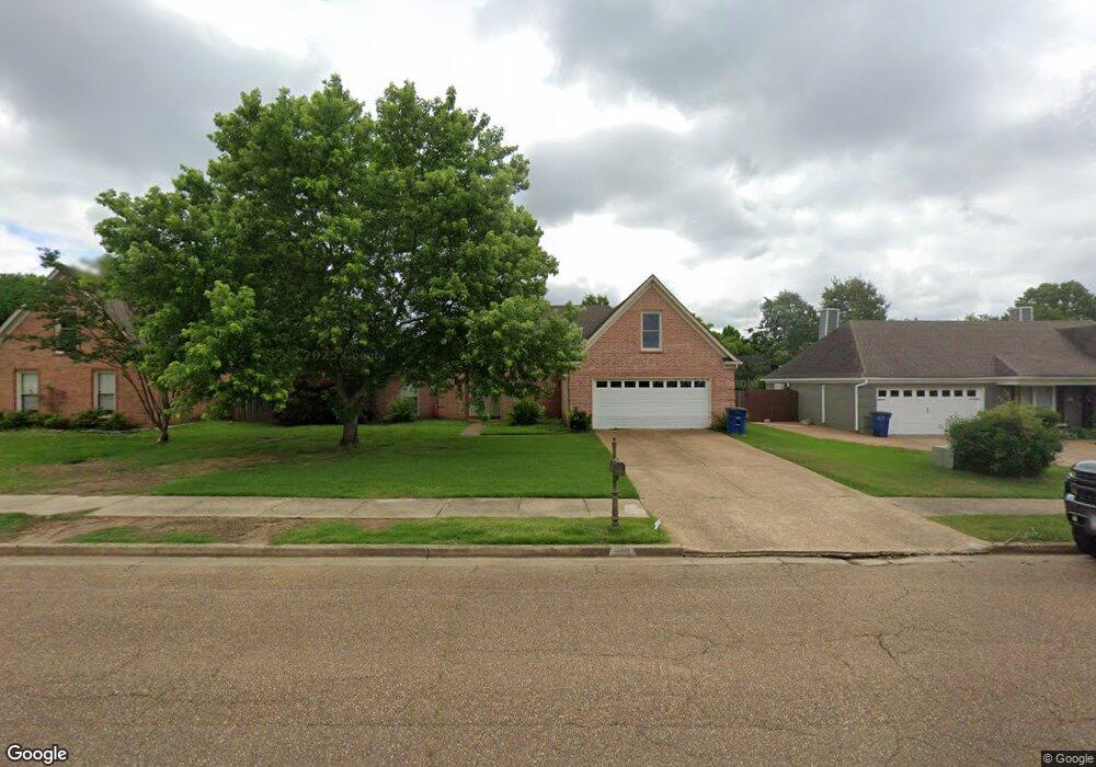
5712 Michaelson Dr Olive Branch, MS 38654
Estimated Value: $265,257 - $289,000
3
Beds
2
Baths
1,821
Sq Ft
$154/Sq Ft
Est. Value
About This Home
This home is located at 5712 Michaelson Dr, Olive Branch, MS 38654 and is currently estimated at $279,814, approximately $153 per square foot. 5712 Michaelson Dr is a home located in DeSoto County with nearby schools including Chickasaw Elementary School, Olive Branch Middle School, and Olive Branch High School.
Ownership History
Date
Name
Owned For
Owner Type
Purchase Details
Closed on
Jul 29, 2022
Sold by
Cummins Ii Michael L
Bought by
Yamasa Co Ltd
Current Estimated Value
Purchase Details
Closed on
Nov 22, 2016
Sold by
Wray Jeremy M and Wray Shelena K
Bought by
Cummins Ii Michael L and Williams Tasha A
Purchase Details
Closed on
Jul 22, 2016
Sold by
Cashion James B
Bought by
Wray Jeremy M and Wray Shelena C
Create a Home Valuation Report for This Property
The Home Valuation Report is an in-depth analysis detailing your home's value as well as a comparison with similar homes in the area
Home Values in the Area
Average Home Value in this Area
Purchase History
| Date | Buyer | Sale Price | Title Company |
|---|---|---|---|
| Yamasa Co Ltd | -- | None Listed On Document | |
| Cummins Ii Michael L | -- | Realty Title | |
| Wray Jeremy M | -- | None Available |
Source: Public Records
Tax History Compared to Growth
Tax History
| Year | Tax Paid | Tax Assessment Tax Assessment Total Assessment is a certain percentage of the fair market value that is determined by local assessors to be the total taxable value of land and additions on the property. | Land | Improvement |
|---|---|---|---|---|
| 2024 | $2,572 | $18,844 | $3,750 | $15,094 |
| 2023 | $2,572 | $18,844 | $0 | $0 |
| 2022 | $1,415 | $12,563 | $2,500 | $10,063 |
| 2021 | $1,415 | $12,563 | $2,500 | $10,063 |
| 2020 | $1,305 | $11,757 | $2,500 | $9,257 |
| 2019 | $1,305 | $11,757 | $2,500 | $9,257 |
| 2017 | $1,273 | $20,432 | $11,466 | $8,966 |
| 2016 | $1,633 | $11,900 | $2,500 | $9,400 |
| 2015 | $1,633 | $21,300 | $11,900 | $9,400 |
| 2014 | $1,633 | $11,900 | $0 | $0 |
| 2013 | $1,585 | $11,900 | $0 | $0 |
Source: Public Records
Map
Nearby Homes
- 5619 Eagleston Dr
- 5806 Southbend Ln
- 2914 Cypress Lake Dr S
- 9598 Nielsen Dr
- 6032 Robby Cove
- 5841 Blocker St
- 5195 Mary Ln N
- 9821 Morgan Manor Dr
- 9930 Sequoia Ln
- 7550 Old Highway 78
- 0 Hacks Rd Unit 4132565
- 9653 Trenton Trail
- 8754 Ln
- 9893 Cherokee Dr
- 5295 Blocker St
- 9811 Cherokee Dr
- 9800 Cherokee Dr
- 10321 Loftin Dr
- 9635 Austin Dr
- 5427 Highway 305 N
- 5698 Michaelson Dr
- 5726 Michaelson Dr
- 5735 Morganton Dr
- 5729 Morganton Dr
- 5684 Michaelson Dr
- 5740 Michaelson Dr
- 5717 Michaelson Dr
- 5741 Morganton Dr
- 5731 Michaelson Dr
- 5703 Michaelson Dr
- 5633 Southbend Ln
- 5647 Southbend Ln
- 5605 Southbend Ln
- 5754 Michaelson Dr
- 5745 Michaelson Dr
- 5715 Morganton Dr
- 5670 Michaelson Dr
- 5689 Michaelson Dr
- 5755 Morganton Dr
- 5759 Michaelson Dr