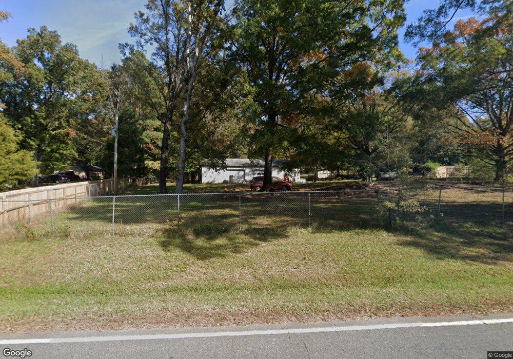
5713 Potter Rd S Waxhaw, NC 28173
Estimated Value: $300,000 - $456,000
3
Beds
2
Baths
1,687
Sq Ft
$222/Sq Ft
Est. Value
About This Home
This home is located at 5713 Potter Rd S, Waxhaw, NC 28173 and is currently estimated at $374,978, approximately $222 per square foot. 5713 Potter Rd S is a home located in Union County with nearby schools including Western Union Elementary School, Parkwood Middle School, and Parkwood High School.
Ownership History
Date
Name
Owned For
Owner Type
Purchase Details
Closed on
Oct 4, 2016
Sold by
Carras Elizabeth C
Bought by
Rogers Robert C and Rogan Lorn D
Current Estimated Value
Home Financials for this Owner
Home Financials are based on the most recent Mortgage that was taken out on this home.
Original Mortgage
$188,800
Outstanding Balance
$151,214
Interest Rate
3.43%
Mortgage Type
New Conventional
Estimated Equity
$223,764
Purchase Details
Closed on
Jun 14, 2002
Sold by
Combs Marilyn and Combs Richard
Bought by
Carran Elizabeth C
Home Financials for this Owner
Home Financials are based on the most recent Mortgage that was taken out on this home.
Original Mortgage
$80,000
Interest Rate
6.77%
Create a Home Valuation Report for This Property
The Home Valuation Report is an in-depth analysis detailing your home's value as well as a comparison with similar homes in the area
Home Values in the Area
Average Home Value in this Area
Purchase History
| Date | Buyer | Sale Price | Title Company |
|---|---|---|---|
| Rogers Robert C | $11,000 | None Available | |
| Rogers Robert C | $239,000 | None Available | |
| Carran Elizabeth C | $141,000 | -- |
Source: Public Records
Mortgage History
| Date | Status | Borrower | Loan Amount |
|---|---|---|---|
| Open | Rogers Robert C | $188,800 | |
| Previous Owner | Carran Elizabeth C | $80,000 |
Source: Public Records
Tax History Compared to Growth
Tax History
| Year | Tax Paid | Tax Assessment Tax Assessment Total Assessment is a certain percentage of the fair market value that is determined by local assessors to be the total taxable value of land and additions on the property. | Land | Improvement |
|---|---|---|---|---|
| 2024 | $1,369 | $212,800 | $51,800 | $161,000 |
| 2023 | $1,350 | $212,800 | $51,800 | $161,000 |
| 2022 | $1,350 | $212,800 | $51,800 | $161,000 |
| 2021 | $1,341 | $212,800 | $51,800 | $161,000 |
| 2020 | $945 | $122,540 | $25,140 | $97,400 |
| 2019 | $963 | $122,540 | $25,140 | $97,400 |
| 2018 | $963 | $122,540 | $25,140 | $97,400 |
| 2017 | $1,026 | $122,500 | $25,100 | $97,400 |
| 2016 | $1,039 | $128,150 | $23,850 | $104,300 |
| 2015 | $1,056 | $128,150 | $23,850 | $104,300 |
| 2014 | $1,021 | $146,540 | $38,250 | $108,290 |
Source: Public Records
Map
Nearby Homes
- 5904 Mcwhorter Rd
- 219 Barra Dr Unit 4
- 219 Barra Dr
- 0 Nesbit Rd Unit CAR4290917
- 4807 John Craig Rd
- 6918 My Lady's Way
- Roanoke Plan at Lancaster Hwy
- Charleston Plan at Lancaster Hwy
- 7513 Lancaster Hwy Unit 6
- 7513 Lancaster Hwy
- 7517 Lancaster Hwy Unit 5
- 7517 Lancaster Hwy
- 110 Serenity Creek Dr
- 106 Serenity Creek Dr
- 0 Potter Rd S Unit 1 CAR4189512
- 0 Potter Rd S Unit 3 CAR4189516
- 0 Potter Rd S Unit 2 CAR4189515
- 0 Potter Rd S Unit CAR4189519
- 0 Potter Rd S Unit CAR4189518
- 7116 Spruce Pine Trail
- 5717 Potter Rd S
- 6118 Mcwhorter Rd
- 5703 Potter Rd S
- 6122 Mcwhorter Rd
- 00 Potters Rd
- 5722 Potter Rd S
- 5619 Potter Rd S
- Lot 2 Mcwhorter Rd Unit 2
- 6117 Mcwhorter Rd
- 5804 Potter Rd S
- 5615 Potter Rd S
- 5810 Potter Rd S
- 5813 Potter Rd S
- 5816 Potter Rd S
- 6021 Mcwhorter Rd
- 5821 Potter Rd S
- 6315 Mcwhorter Rd
- 6104 Potter Rd S
- ? Potter Rd S
- 6318 Mcwhorter Rd