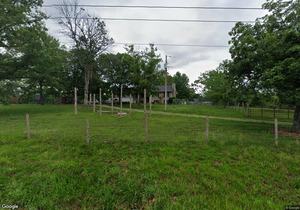
5716 Highway N Robertsville, MO 63072
Estimated Value: $251,000 - $424,000
3
Beds
4
Baths
1,195
Sq Ft
$285/Sq Ft
Est. Value
About This Home
This home is located at 5716 Highway N, Robertsville, MO 63072 and is currently estimated at $341,061, approximately $285 per square foot. 5716 Highway N is a home located in Franklin County with nearby schools including Lonedell Elementary School.
Ownership History
Date
Name
Owned For
Owner Type
Purchase Details
Closed on
Jun 10, 2020
Sold by
Sitze Daniel and Sitze Lindsay
Bought by
Clark Kenneth S and Clark Melissa M
Current Estimated Value
Home Financials for this Owner
Home Financials are based on the most recent Mortgage that was taken out on this home.
Original Mortgage
$190,000
Outstanding Balance
$167,674
Interest Rate
3.2%
Mortgage Type
New Conventional
Estimated Equity
$173,387
Create a Home Valuation Report for This Property
The Home Valuation Report is an in-depth analysis detailing your home's value as well as a comparison with similar homes in the area
Home Values in the Area
Average Home Value in this Area
Purchase History
| Date | Buyer | Sale Price | Title Company |
|---|---|---|---|
| Clark Kenneth S | -- | None Available |
Source: Public Records
Mortgage History
| Date | Status | Borrower | Loan Amount |
|---|---|---|---|
| Open | Clark Kenneth S | $190,000 |
Source: Public Records
Tax History Compared to Growth
Tax History
| Year | Tax Paid | Tax Assessment Tax Assessment Total Assessment is a certain percentage of the fair market value that is determined by local assessors to be the total taxable value of land and additions on the property. | Land | Improvement |
|---|---|---|---|---|
| 2025 | $2,182 | $34,907 | $0 | $0 |
| 2024 | $2,182 | $29,640 | $0 | $0 |
| 2023 | $1,691 | $29,640 | $0 | $0 |
| 2022 | $1,750 | $30,656 | $0 | $0 |
| 2021 | $1,747 | $30,656 | $0 | $0 |
| 2020 | $1,604 | $27,724 | $0 | $0 |
| 2019 | $1,609 | $27,890 | $0 | $0 |
| 2018 | $1,556 | $26,802 | $0 | $0 |
| 2017 | $1,543 | $26,802 | $0 | $0 |
| 2016 | $1,419 | $24,623 | $0 | $0 |
| 2015 | $1,415 | $24,623 | $0 | $0 |
| 2014 | $1,414 | $25,328 | $0 | $0 |
Source: Public Records
Map
Nearby Homes
- 2227 State Route N
- 4398 E Linda Ln
- 0 N Hendricks Rd Unit MIS25078611
- 1811 Hendricks Rd
- 1855 Hendricks Rd
- 5199 Highway N
- 420 Nancy Dr
- 525 Cedar View Dr
- 563 Calvey Heights Ct
- 7816 Rye Creek Rd
- 000 Fairview Church Rd
- 0 Woodland Valley Dr Unit MAR25002747
- 8716 Highway Hh
- 0 Watts Ridge Dr
- 5563 E Anding Dr
- 10262 Hawks Rd
- 9265 St Route 30
- 000 Forest Rd
- Parkway Dr
- 6 Cindy Dr
- 0 W Linda Ln Unit LOT 6 90044278
- 0 W Linda Ln Unit 10058250
- 0 W Linda Ln Unit Lot 2, 3, 4 14006854
- 0 W Linda Ln Unit lot 3 14006833
- 0 W Linda Ln Unit lot 2 14006828
- 0 W Linda Ln Unit 14063224
- 4 W Linda Ln
- 0 W Linda Ln Unit LOT 6 16067715
- 0 W Linda Ln Unit LOT 6 19071994
- 217 Benwell Dr
- 4464 E Linda Ln
- 5721 Highway N
- 4449 Highway N
- 222 Benwell Dr
- 5731 Highway N
- 791 Angelina Ln
- 4422 E Linda Ln
- 760 Angelina Ln
- 5748 Highway N
- 5664 Highway N