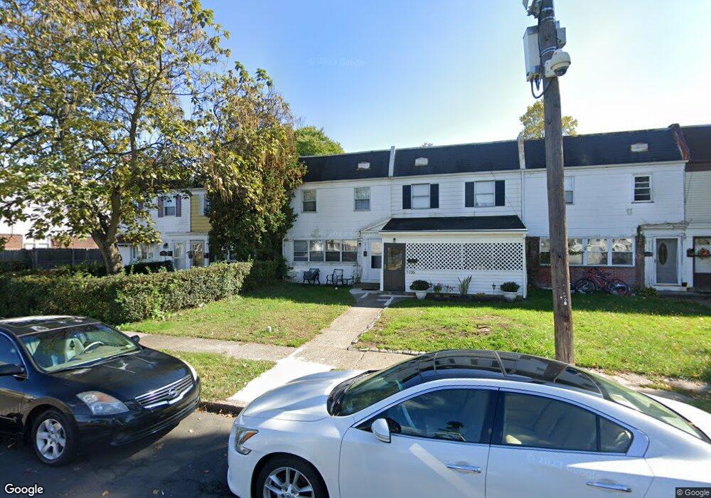
5718 Mitchell Rd Levittown, PA 19057
Estimated Value: $189,000 - $227,000
3
Beds
2
Baths
1,200
Sq Ft
$172/Sq Ft
Est. Value
About This Home
This home is located at 5718 Mitchell Rd, Levittown, PA 19057 and is currently estimated at $206,303, approximately $171 per square foot. 5718 Mitchell Rd is a home located in Bucks County with nearby schools including Truman Senior High School, First Presbyterian Church School, and Hope Lutheran School.
Ownership History
Date
Name
Owned For
Owner Type
Purchase Details
Closed on
Nov 12, 2009
Sold by
Denovio Carolyn L
Bought by
Beltran Laudencio and Beltran Maria Liza D
Current Estimated Value
Purchase Details
Closed on
Feb 22, 1991
Bought by
Denovio Carolyn L
Purchase Details
Closed on
Oct 26, 1990
Sold by
Denovio Carl J and Denovio Carolyn L
Bought by
Denovio Carolyn L
Home Financials for this Owner
Home Financials are based on the most recent Mortgage that was taken out on this home.
Original Mortgage
$24,000
Interest Rate
7.01%
Create a Home Valuation Report for This Property
The Home Valuation Report is an in-depth analysis detailing your home's value as well as a comparison with similar homes in the area
Home Values in the Area
Average Home Value in this Area
Purchase History
| Date | Buyer | Sale Price | Title Company |
|---|---|---|---|
| Beltran Laudencio | $37,500 | None Available | |
| Denovio Carolyn L | -- | -- | |
| Denovio Carolyn L | -- | -- |
Source: Public Records
Mortgage History
| Date | Status | Borrower | Loan Amount |
|---|---|---|---|
| Previous Owner | Denovio Carolyn L | $24,000 |
Source: Public Records
Tax History
| Year | Tax Paid | Tax Assessment Tax Assessment Total Assessment is a certain percentage of the fair market value that is determined by local assessors to be the total taxable value of land and additions on the property. | Land | Improvement |
|---|---|---|---|---|
| 2025 | $1,499 | $5,520 | $1,760 | $3,760 |
| 2024 | $1,499 | $5,520 | $1,760 | $3,760 |
| 2023 | $1,488 | $5,520 | $1,760 | $3,760 |
| 2022 | $1,488 | $5,520 | $1,760 | $3,760 |
| 2021 | $1,488 | $5,520 | $1,760 | $3,760 |
| 2020 | $1,488 | $5,520 | $1,760 | $3,760 |
| 2019 | $1,483 | $5,520 | $1,760 | $3,760 |
| 2018 | $1,459 | $5,520 | $1,760 | $3,760 |
| 2017 | $1,436 | $5,520 | $1,760 | $3,760 |
| 2016 | $1,436 | $5,520 | $1,760 | $3,760 |
| 2015 | $1,114 | $5,520 | $1,760 | $3,760 |
| 2014 | $1,114 | $5,520 | $1,760 | $3,760 |
Source: Public Records
Map
Nearby Homes
- 5717 Fleetwing Dr
- 1019 Green Ln
- 5723 Atkins Ave
- 35 Beechtree Rd
- 1228 Pacific Ave
- 46 Butternut Rd
- 1210 Plymouth Ave
- 53 Pamela Ct Unit 318
- 1202 Plymouth Ave
- 10 Green Ln
- 5 Green Ln
- 238 Colette Ct Unit 1311
- 86 Wildflower Rd
- 2510 Green Ave
- 5517 Schumacher Dr
- 2715 Crest Ave
- 118 Wildflower Rd
- 2519 Woodlawn Dr
- 3000 Butler Ave
- 55 Cedar Ln
- 5716 Mitchell Rd
- 5720 Mitchell Rd
- 5722 Mitchell Rd
- 5714 Mitchell Rd
- 5724 Mitchell Rd
- 5712 Mitchell Rd
- 5709 Mustang St
- 5726 Mitchell Rd
- 5710 Mitchell Rd
- 5728 Mitchell Rd
- 5705 Mustang St
- 5715 Mitchell Rd
- 5730 Mitchell Rd
- 5707 Mustang St
- 5717 Mitchell Rd
- 5713 Mitchell Rd
- 5719 Mitchell Rd
- 5713 Mustang St
- 5703 Mustang St
- 5704 Mitchell Rd
Your Personal Tour Guide
Ask me questions while you tour the home.