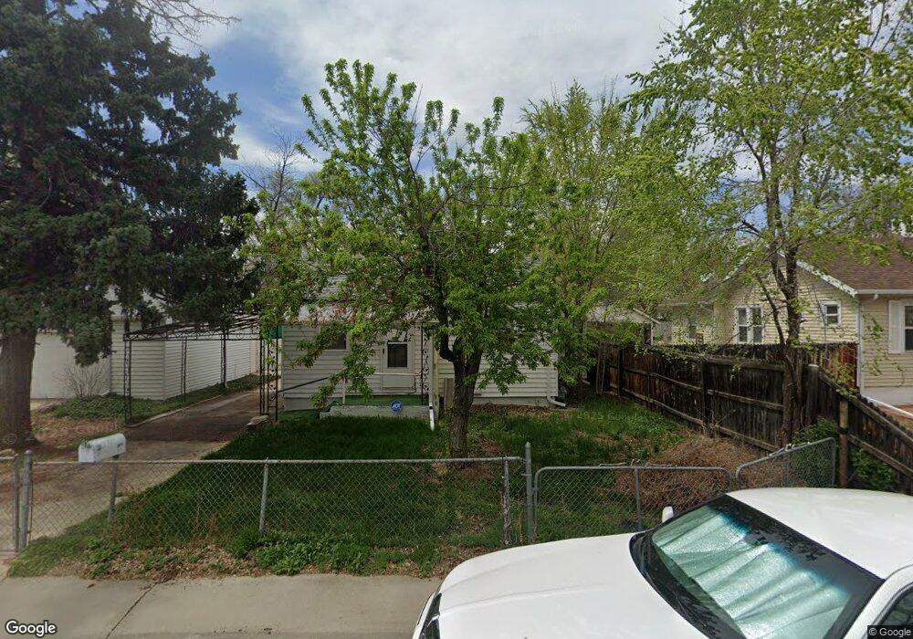
5719 Reed St Arvada, CO 80002
Olde Town Arvada NeighborhoodEstimated Value: $400,738 - $548,000
1
Bed
1
Bath
492
Sq Ft
$958/Sq Ft
Est. Value
About This Home
This home is located at 5719 Reed St, Arvada, CO 80002 and is currently estimated at $471,185, approximately $957 per square foot. 5719 Reed St is a home located in Jefferson County with nearby schools including Secrest Elementary School, North Arvada Middle School, and Arvada High School.
Ownership History
Date
Name
Owned For
Owner Type
Purchase Details
Closed on
Jan 16, 2015
Sold by
Morton R F and Morton K
Bought by
Morton K L and Morton Kathi L
Current Estimated Value
Purchase Details
Closed on
Aug 28, 2014
Sold by
Morton Rufus F and Morton Kathi L
Bought by
Morton Kathi L
Purchase Details
Closed on
Sep 30, 2003
Sold by
Metcalf Clarence I and Metcalf Muriel G
Bought by
Morton R F and Morton K
Home Financials for this Owner
Home Financials are based on the most recent Mortgage that was taken out on this home.
Original Mortgage
$99,200
Outstanding Balance
$46,420
Interest Rate
6.25%
Mortgage Type
Purchase Money Mortgage
Estimated Equity
$424,765
Create a Home Valuation Report for This Property
The Home Valuation Report is an in-depth analysis detailing your home's value as well as a comparison with similar homes in the area
Home Values in the Area
Average Home Value in this Area
Purchase History
| Date | Buyer | Sale Price | Title Company |
|---|---|---|---|
| Morton K L | -- | None Available | |
| Morton Kathi L | -- | None Available | |
| Morton R F | $124,000 | -- |
Source: Public Records
Mortgage History
| Date | Status | Borrower | Loan Amount |
|---|---|---|---|
| Open | Morton R F | $99,200 |
Source: Public Records
Tax History Compared to Growth
Tax History
| Year | Tax Paid | Tax Assessment Tax Assessment Total Assessment is a certain percentage of the fair market value that is determined by local assessors to be the total taxable value of land and additions on the property. | Land | Improvement |
|---|---|---|---|---|
| 2024 | $2,367 | $24,403 | $19,090 | $5,313 |
| 2023 | $2,367 | $24,403 | $19,090 | $5,313 |
| 2022 | $2,532 | $25,854 | $19,847 | $6,007 |
| 2021 | $2,574 | $26,598 | $20,418 | $6,180 |
| 2020 | $2,153 | $22,312 | $15,954 | $6,358 |
| 2019 | $2,124 | $22,312 | $15,954 | $6,358 |
| 2018 | $1,707 | $17,433 | $11,783 | $5,650 |
| 2017 | $1,563 | $17,433 | $11,783 | $5,650 |
| 2016 | $1,241 | $13,041 | $6,458 | $6,583 |
| 2015 | $920 | $13,041 | $6,458 | $6,583 |
| 2014 | $920 | $9,090 | $5,158 | $3,932 |
Source: Public Records
Map
Nearby Homes
- 6902 Ralston Rd
- 7011 Grandview Ave
- 5815 Pierce St Unit A-H
- 6855 Reno Dr
- 6890 W 55th Place
- 5525 Pierce Ct
- 6780 W 60th Ave Unit H-1
- 5495 Saulsbury Ct
- 5513 Newland Way
- 6700 W 55th Ave
- 6480 W 60th Ave
- 5465 Saulsbury Ct
- 5465 Reed Ct
- 6990 W 61st Ave
- 7700 Robinson Way
- 7707 Ralston Rd
- 7365 W 61st Ave
- 7801 Grandview Ave
- 7931 W 55th Ave Unit 105
- 7931 W 55th Ave Unit 206