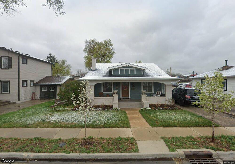
5719 Zephyr St Arvada, CO 80002
Olde Town Arvada NeighborhoodEstimated Value: $578,905 - $725,000
2
Beds
2
Baths
1,629
Sq Ft
$404/Sq Ft
Est. Value
About This Home
This home is located at 5719 Zephyr St, Arvada, CO 80002 and is currently estimated at $658,726, approximately $404 per square foot. 5719 Zephyr St is a home located in Jefferson County with nearby schools including Lawrence Elementary School, Arvada K-8, and North Arvada Middle School.
Ownership History
Date
Name
Owned For
Owner Type
Purchase Details
Closed on
Jun 5, 2020
Sold by
Acree Jennifer T
Bought by
Vorthmann Mitchell S and Vorthmann Danielle A
Current Estimated Value
Home Financials for this Owner
Home Financials are based on the most recent Mortgage that was taken out on this home.
Original Mortgage
$486,400
Outstanding Balance
$430,344
Interest Rate
3.1%
Mortgage Type
New Conventional
Estimated Equity
$228,382
Create a Home Valuation Report for This Property
The Home Valuation Report is an in-depth analysis detailing your home's value as well as a comparison with similar homes in the area
Home Values in the Area
Average Home Value in this Area
Purchase History
| Date | Buyer | Sale Price | Title Company |
|---|---|---|---|
| Vorthmann Mitchell S | $512,000 | Guardian Title |
Source: Public Records
Mortgage History
| Date | Status | Borrower | Loan Amount |
|---|---|---|---|
| Open | Vorthmann Mitchell S | $486,400 |
Source: Public Records
Tax History Compared to Growth
Tax History
| Year | Tax Paid | Tax Assessment Tax Assessment Total Assessment is a certain percentage of the fair market value that is determined by local assessors to be the total taxable value of land and additions on the property. | Land | Improvement |
|---|---|---|---|---|
| 2024 | $2,745 | $28,297 | $13,231 | $15,066 |
| 2023 | $2,745 | $28,297 | $13,231 | $15,066 |
| 2022 | $2,539 | $25,922 | $13,962 | $11,960 |
| 2021 | $2,581 | $26,667 | $14,363 | $12,304 |
| 2020 | $1,439 | $22,064 | $10,667 | $11,397 |
| 2019 | $1,420 | $22,064 | $10,667 | $11,397 |
| 2018 | $1,079 | $18,216 | $8,023 | $10,193 |
| 2017 | $987 | $18,216 | $8,023 | $10,193 |
| 2016 | $842 | $16,806 | $5,153 | $11,653 |
| 2015 | $621 | $16,806 | $5,153 | $11,653 |
| 2014 | $621 | $12,276 | $4,165 | $8,111 |
Source: Public Records
Map
Nearby Homes
- 7707 Ralston Rd
- 0000S Balsam St Unit 1
- 0000N Balsam St Unit 1
- 6455 Orn Ville Aly
- 7931 W 55th Ave Unit 308
- 6009 Yarrow St Unit K
- 6007 Yarrow St Unit D
- 5465 Zephyr St Unit 201
- 5409 Zephyr Ct Unit 5409
- 5419 Allison St Unit G
- 7303 W 59th Ave
- 5600 Dover St
- 6176 Ammons St
- 6164 Brentwood St
- 6055 Cody St
- 6150 Carr St
- 5396 Balsam St
- 8237 W 54th Ave Unit 2
- 8680 Calvin Dr
- 7011 Grandview Ave
- 5717 Zephyr St
- 5721 Zephyr St
- 5715 Zephyr St
- 7900 Ralston Rd
- 5713 Zephyr St
- 5718 Allison St
- 5716 Allison St
- 7884 Ralston Rd
- 5720 Zephyr St
- 5718 Zephyr St
- 5716 Zephyr St
- 5711 Zephyr St
- 5714 Allison St
- 5714 Zephyr St
- 5712 Zephyr St
- 7804 Ralston Rd
- 7903 Ralston Rd
- 5709 Zephyr St
- 7901 Ralston Rd
- 5710 Allison St