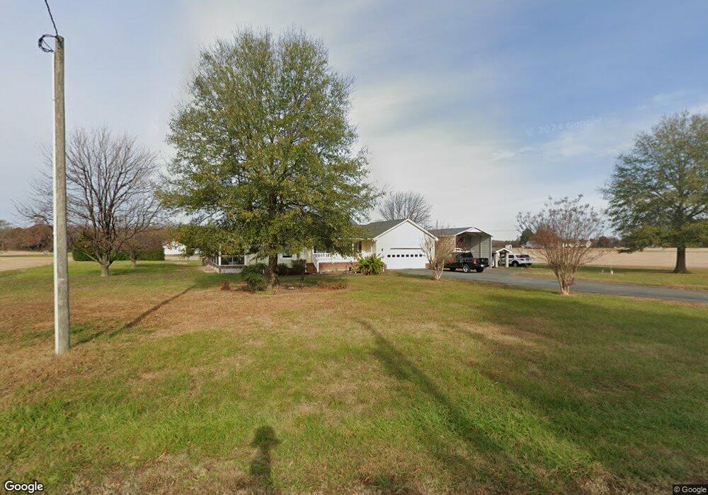
572 Lone Walnut Rd Callao, VA 22435
Estimated Value: $309,000 - $355,374
--
Bed
2
Baths
2,590
Sq Ft
$126/Sq Ft
Est. Value
About This Home
This home is located at 572 Lone Walnut Rd, Callao, VA 22435 and is currently estimated at $326,594, approximately $126 per square foot. 572 Lone Walnut Rd is a home located in Westmoreland County with nearby schools including Montross Middle School and Westmoreland High School.
Ownership History
Date
Name
Owned For
Owner Type
Purchase Details
Closed on
May 8, 2023
Sold by
Hinson Richard E
Bought by
Darby Anthony J and Darby Sarah E
Current Estimated Value
Home Financials for this Owner
Home Financials are based on the most recent Mortgage that was taken out on this home.
Original Mortgage
$284,035
Outstanding Balance
$275,171
Interest Rate
5.75%
Mortgage Type
FHA
Estimated Equity
$51,423
Purchase Details
Closed on
Jan 24, 2008
Sold by
Natemeier Donna R
Bought by
Hinson Richard E
Home Financials for this Owner
Home Financials are based on the most recent Mortgage that was taken out on this home.
Original Mortgage
$165,000
Interest Rate
6.17%
Mortgage Type
New Conventional
Create a Home Valuation Report for This Property
The Home Valuation Report is an in-depth analysis detailing your home's value as well as a comparison with similar homes in the area
Home Values in the Area
Average Home Value in this Area
Purchase History
| Date | Buyer | Sale Price | Title Company |
|---|---|---|---|
| Darby Anthony J | $289,900 | Old Republic National Title | |
| Hinson Richard E | $209,000 | -- |
Source: Public Records
Mortgage History
| Date | Status | Borrower | Loan Amount |
|---|---|---|---|
| Open | Darby Anthony J | $284,035 | |
| Previous Owner | Hinson Richard E | $165,000 |
Source: Public Records
Tax History Compared to Growth
Tax History
| Year | Tax Paid | Tax Assessment Tax Assessment Total Assessment is a certain percentage of the fair market value that is determined by local assessors to be the total taxable value of land and additions on the property. | Land | Improvement |
|---|---|---|---|---|
| 2024 | $1,680 | $247,000 | $22,800 | $224,200 |
| 2023 | $1,531 | $247,000 | $22,800 | $224,200 |
| 2022 | $1,531 | $247,000 | $22,800 | $224,200 |
| 2021 | $1,468 | $193,200 | $22,700 | $170,500 |
| 2020 | $1,468 | $193,200 | $22,700 | $170,500 |
| 2019 | $1,256 | $193,200 | $22,700 | $170,500 |
| 2018 | $1,147 | $188,100 | $22,600 | $165,500 |
| 2017 | -- | $188,100 | $22,600 | $165,500 |
| 2016 | $1,129 | $188,100 | $22,600 | $165,500 |
| 2015 | -- | $198,200 | $22,600 | $175,600 |
| 2014 | -- | $0 | $0 | $0 |
| 2013 | -- | $198,200 | $22,600 | $175,600 |
Source: Public Records
Map
Nearby Homes
- 1734 Totuskey Church Rd
- 13789 Richmond Rd
- 4381 Mulberry Rd
- 1995 Fruit Plain Rd
- Lot 7 Walker Candie Ln
- 98 Normans Corner Rd
- 93 Deer Run Rd
- 91 Dameron Dr
- 20D 3 27 Ridge Rd
- 79 Gardys Mill Rd
- 32-4 Mulberry Rd
- 0 Tyson Ln Unit 2523058
- Lot 1 Deer Run Rd
- 10157 Richmond Rd
- 4516 Oldhams Rd
- 55-98 Kings Mill Rd
- TBD Millstone Lot 20 Way
- TBD Millstone Way
- lot 34 E Sunrise Dr
- 394 Springview Rd
- 572 Lone Walnut Rd
- 555 Lone Walnut Rd
- 544 Lone Walnut Rd
- 517 Lone Walnut Rd
- 455 Lone Walnut Rd
- 625 Lone Walnut Rd
- 410 Lone Walnut Rd
- 401 Lone Walnut Rd
- 535 Lone Walnut Rd
- 705 Lone Walnut Rd
- 369 Lone Walnut Rd
- 531 Lone Walnut Rd
- 539 Lone Walnut Rd
- 540 Lone Walnut Rd
- 345 Lone Walnut Rd
- 321 Lone Walnut Rd
- 795 Lone Walnut Rd
- 799 Lone Walnut Rd
- 317 Lone Walnut Rd
- 293 Lone Walnut Rd