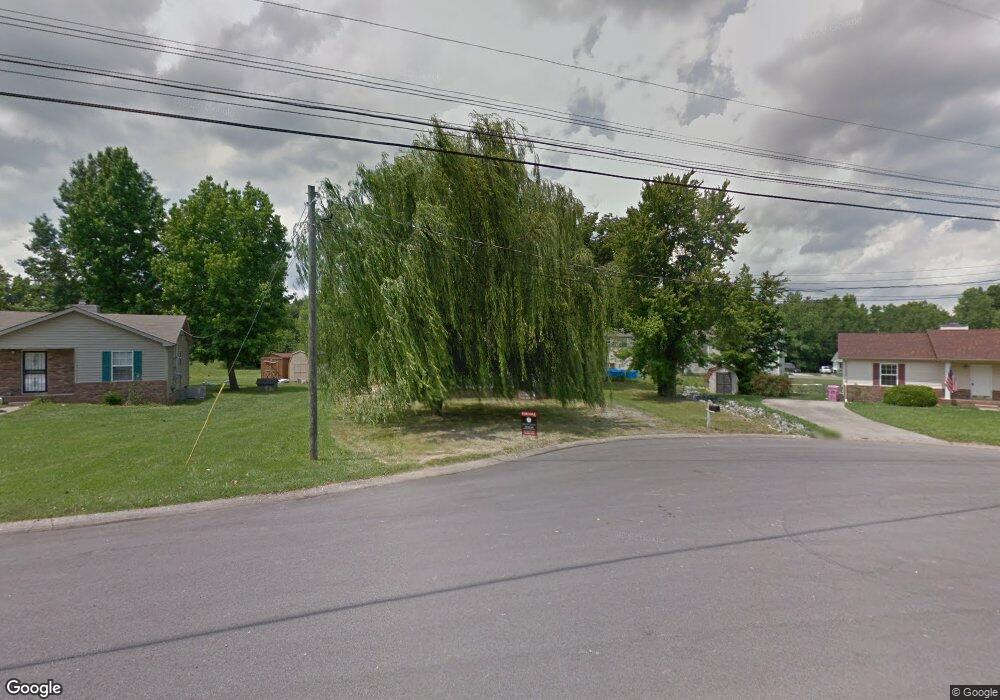
572 Matthew Ct Clarksville, TN 37042
Estimated Value: $190,000 - $219,000
--
Bed
2
Baths
940
Sq Ft
$221/Sq Ft
Est. Value
About This Home
This home is located at 572 Matthew Ct, Clarksville, TN 37042 and is currently estimated at $207,387, approximately $220 per square foot. 572 Matthew Ct is a home located in Montgomery County with nearby schools including Liberty Elementary School, New Providence Middle School, and Northwest High School.
Ownership History
Date
Name
Owned For
Owner Type
Purchase Details
Closed on
Jun 25, 2013
Sold by
Vanderilt Mtg And Finance
Bought by
Soto Derek and Soto Kaleena
Current Estimated Value
Home Financials for this Owner
Home Financials are based on the most recent Mortgage that was taken out on this home.
Original Mortgage
$66,669
Outstanding Balance
$48,128
Interest Rate
3.75%
Mortgage Type
FHA
Estimated Equity
$159,259
Purchase Details
Closed on
Aug 6, 2012
Sold by
Thornton Dawn
Bought by
Vanderilt Mtg And Finance Inc
Purchase Details
Closed on
Sep 15, 2006
Sold by
Chico Cannady
Bought by
Dawn Thornton
Purchase Details
Closed on
Jan 6, 1999
Sold by
Carson Norman S
Bought by
Chico Cannady
Purchase Details
Closed on
Sep 12, 1995
Sold by
Alamo Real Estate
Bought by
Carson Norman S
Create a Home Valuation Report for This Property
The Home Valuation Report is an in-depth analysis detailing your home's value as well as a comparison with similar homes in the area
Home Values in the Area
Average Home Value in this Area
Purchase History
| Date | Buyer | Sale Price | Title Company |
|---|---|---|---|
| Soto Derek | $67,900 | -- | |
| Vanderilt Mtg And Finance Inc | $54,000 | -- | |
| Dawn Thornton | $64,500 | -- | |
| Chico Cannady | $60,500 | -- | |
| Carson Norman S | $56,500 | -- |
Source: Public Records
Mortgage History
| Date | Status | Borrower | Loan Amount |
|---|---|---|---|
| Open | Soto Derek | $66,669 |
Source: Public Records
Tax History Compared to Growth
Tax History
| Year | Tax Paid | Tax Assessment Tax Assessment Total Assessment is a certain percentage of the fair market value that is determined by local assessors to be the total taxable value of land and additions on the property. | Land | Improvement |
|---|---|---|---|---|
| 2024 | $1,388 | $46,550 | $0 | $0 |
| 2023 | $1,388 | $23,125 | $0 | $0 |
| 2022 | $975 | $23,125 | $0 | $0 |
| 2021 | $968 | $22,950 | $0 | $0 |
| 2020 | $922 | $22,950 | $0 | $0 |
| 2019 | $922 | $22,950 | $0 | $0 |
| 2018 | $889 | $17,175 | $0 | $0 |
| 2017 | $256 | $20,625 | $0 | $0 |
| 2016 | $633 | $20,625 | $0 | $0 |
| 2015 | $633 | $20,625 | $0 | $0 |
| 2014 | $858 | $20,625 | $0 | $0 |
| 2013 | $879 | $20,075 | $0 | $0 |
Source: Public Records
Map
Nearby Homes
- 567 Matthew Ct
- 524 Inver Ln
- 571 Donna Dr
- 573 Donna Dr
- 634 Inver Ln
- 554 Roselawn Dr
- 605 Marigold Dr
- 616 Liberty Park
- 548 Buckeye Ln
- 544 Roselawn Dr
- 541 Roselawn Dr
- 628 Wolfchase Dr
- 640 Wolfchase Dr
- 507 Medallion Cir
- 576 Cabot Cove
- 578 Cabot Cove
- 562 Medallion Cir
- 614 Joshua Dr
- 652 Deer Ridge Dr
- 566 Bridgette Dr