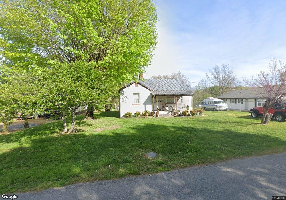
572 Witt Rd Morristown, TN 37813
Estimated Value: $128,899 - $163,000
--
Bed
1
Bath
964
Sq Ft
$151/Sq Ft
Est. Value
About This Home
This home is located at 572 Witt Rd, Morristown, TN 37813 and is currently estimated at $145,475, approximately $150 per square foot. 572 Witt Rd is a home located in Hamblen County with nearby schools including Witt Elementary School, Lincoln Heights Middle School, and Morristown West High School.
Ownership History
Date
Name
Owned For
Owner Type
Purchase Details
Closed on
Dec 19, 1988
Bought by
Ramsey Avery and Ramsey Juanita
Current Estimated Value
Purchase Details
Closed on
Jul 8, 1988
Bought by
Roberts Roberts D and Roberts Edith L
Purchase Details
Closed on
Nov 16, 1984
Bought by
Greene Tom
Purchase Details
Closed on
Sep 28, 1984
Purchase Details
Closed on
Mar 16, 1984
Purchase Details
Closed on
Apr 7, 1981
Create a Home Valuation Report for This Property
The Home Valuation Report is an in-depth analysis detailing your home's value as well as a comparison with similar homes in the area
Home Values in the Area
Average Home Value in this Area
Purchase History
| Date | Buyer | Sale Price | Title Company |
|---|---|---|---|
| Ramsey Avery | $26,000 | -- | |
| Roberts Roberts D | $27,500 | -- | |
| Greene Tom | -- | -- | |
| -- | $14,000 | -- | |
| -- | $15,000 | -- | |
| -- | -- | -- |
Source: Public Records
Tax History Compared to Growth
Tax History
| Year | Tax Paid | Tax Assessment Tax Assessment Total Assessment is a certain percentage of the fair market value that is determined by local assessors to be the total taxable value of land and additions on the property. | Land | Improvement |
|---|---|---|---|---|
| 2024 | $286 | $16,250 | $4,450 | $11,800 |
| 2023 | $286 | $16,250 | $0 | $0 |
| 2022 | $514 | $16,250 | $4,450 | $11,800 |
| 2021 | $514 | $16,250 | $4,450 | $11,800 |
| 2020 | $513 | $16,250 | $4,450 | $11,800 |
| 2019 | $478 | $14,075 | $3,550 | $10,525 |
| 2018 | $443 | $14,075 | $3,550 | $10,525 |
| 2017 | $436 | $14,075 | $3,550 | $10,525 |
| 2016 | $417 | $14,075 | $3,550 | $10,525 |
| 2015 | $388 | $14,075 | $3,550 | $10,525 |
| 2014 | -- | $14,075 | $3,550 | $10,525 |
| 2013 | -- | $14,800 | $0 | $0 |
Source: Public Records
Map
Nearby Homes
- 5474 Saint Paul Rd
- 5056 Spencer Hale Rd
- 3520 Sublett Rd
- 848 Spencer Hale Rd
- 5704 Long Creek Rd
- 1500 S Davy Crockett Pkwy
- 0 Old White Pine Rd
- 453 Statem Gap Rd
- 2262 Fernwood Church Rd
- 4996 Saint Paul Rd
- 3017 Hardy Rd
- 2895 Coffey Rd
- 1163 Nathan Dr
- 1160 Statem Gap Rd
- 1418 Mae Collins Rd
- 4207 Clyde Thomas Rd
- 5262 Buell Chapel Rd
- 5972 Leepers Ferry Rd
- TBD Buell Chapel Rd
- 1051 Wilson Hale Rd