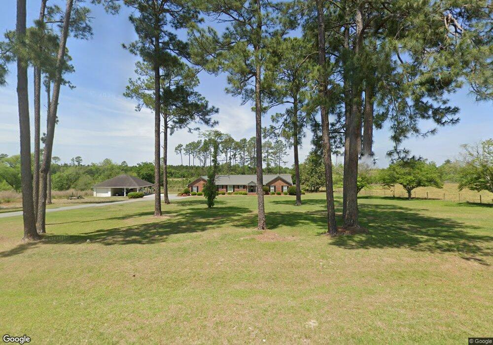
5720 Ga Highway 112 W Ashburn, GA 31714
Estimated Value: $255,000 - $476,000
--
Bed
2
Baths
3,524
Sq Ft
$110/Sq Ft
Est. Value
About This Home
This home is located at 5720 Ga Highway 112 W, Ashburn, GA 31714 and is currently estimated at $388,963, approximately $110 per square foot. 5720 Ga Highway 112 W is a home located in Turner County with nearby schools including Turner County Elementary School, Turner County Middle School, and Turner County High School.
Ownership History
Date
Name
Owned For
Owner Type
Purchase Details
Closed on
Apr 15, 2024
Sold by
Coley Phillip N
Bought by
Mccorvey Mary Elizabeth and Mccorvey Warren Hughes
Current Estimated Value
Home Financials for this Owner
Home Financials are based on the most recent Mortgage that was taken out on this home.
Original Mortgage
$368,000
Outstanding Balance
$362,354
Interest Rate
6.74%
Mortgage Type
New Conventional
Estimated Equity
$26,609
Purchase Details
Closed on
Apr 8, 2024
Sold by
Coley Family Properties Llc
Bought by
Coley Phillip Neal
Home Financials for this Owner
Home Financials are based on the most recent Mortgage that was taken out on this home.
Original Mortgage
$368,000
Outstanding Balance
$362,354
Interest Rate
6.74%
Mortgage Type
New Conventional
Estimated Equity
$26,609
Create a Home Valuation Report for This Property
The Home Valuation Report is an in-depth analysis detailing your home's value as well as a comparison with similar homes in the area
Home Values in the Area
Average Home Value in this Area
Purchase History
| Date | Buyer | Sale Price | Title Company |
|---|---|---|---|
| Mccorvey Mary Elizabeth | $460,000 | -- | |
| Coley Phillip Neal | -- | -- | |
| Coley Family Properties Llc | -- | -- |
Source: Public Records
Mortgage History
| Date | Status | Borrower | Loan Amount |
|---|---|---|---|
| Open | Mccorvey Mary Elizabeth | $368,000 |
Source: Public Records
Tax History Compared to Growth
Tax History
| Year | Tax Paid | Tax Assessment Tax Assessment Total Assessment is a certain percentage of the fair market value that is determined by local assessors to be the total taxable value of land and additions on the property. | Land | Improvement |
|---|---|---|---|---|
| 2024 | $277 | $10,059 | $10,059 | $0 |
| 2023 | $3,021 | $96,542 | $11,592 | $84,950 |
| 2022 | $3,021 | $96,542 | $11,592 | $84,950 |
| 2021 | $3,022 | $96,542 | $11,592 | $84,950 |
| 2020 | $3,024 | $96,542 | $11,592 | $84,950 |
| 2019 | $3,024 | $96,542 | $11,592 | $84,950 |
| 2018 | $3,088 | $96,542 | $11,592 | $84,950 |
| 2017 | $3,088 | $96,542 | $11,592 | $84,950 |
| 2016 | $3,027 | $96,542 | $11,592 | $84,950 |
| 2015 | -- | $96,542 | $11,592 | $84,950 |
| 2014 | -- | $96,542 | $11,592 | $84,950 |
Source: Public Records
Map
Nearby Homes
- 6415 Coverdale Hwy
- 0 Glynn Cook Rd
- 3821 Ga Highway 112 W
- 32 Birdie Cir
- 943 Whiddon Rd
- 500 Joe Lawrence Rd
- 547 Joe Lawrence Rd
- 828 W Madison Ave
- 195 Mattie Ave
- 196 N Mattie Ave
- 196 N Mattie Ave Unit 9-10-11
- 0 Story St
- 2633 Us Hwy 41
- 883 N Railroad Ave
- 160 E Willis St
- 391 S Brown Ave
- 445 Hodge King Dr
- 0 Eagle Ct Unit 135425
- 0 Eagle Ct Unit 135424
- 220 E Williams Ave