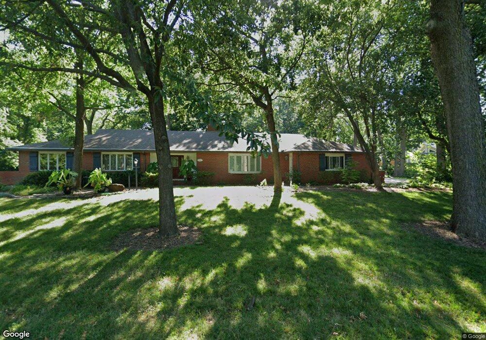
5720 Perry Ln Shawnee, KS 66203
Estimated Value: $426,679 - $472,000
4
Beds
4
Baths
2,950
Sq Ft
$153/Sq Ft
Est. Value
About This Home
This home is located at 5720 Perry Ln, Shawnee, KS 66203 and is currently estimated at $450,170, approximately $152 per square foot. 5720 Perry Ln is a home located in Johnson County with nearby schools including Merriam Park Elementary School, Hocker Grove Middle School, and Shawnee Mission North High School.
Ownership History
Date
Name
Owned For
Owner Type
Purchase Details
Closed on
Jan 23, 2004
Sold by
Neal Laquita J
Bought by
Sharp Auddie J and Sharp Janet R
Current Estimated Value
Home Financials for this Owner
Home Financials are based on the most recent Mortgage that was taken out on this home.
Original Mortgage
$209,250
Outstanding Balance
$96,353
Interest Rate
5.79%
Mortgage Type
Purchase Money Mortgage
Estimated Equity
$353,817
Create a Home Valuation Report for This Property
The Home Valuation Report is an in-depth analysis detailing your home's value as well as a comparison with similar homes in the area
Home Values in the Area
Average Home Value in this Area
Purchase History
| Date | Buyer | Sale Price | Title Company |
|---|---|---|---|
| Sharp Auddie J | -- | Security Land Title Company |
Source: Public Records
Mortgage History
| Date | Status | Borrower | Loan Amount |
|---|---|---|---|
| Open | Sharp Auddie J | $209,250 | |
| Closed | Sharp Auddie J | $55,800 |
Source: Public Records
Tax History Compared to Growth
Tax History
| Year | Tax Paid | Tax Assessment Tax Assessment Total Assessment is a certain percentage of the fair market value that is determined by local assessors to be the total taxable value of land and additions on the property. | Land | Improvement |
|---|---|---|---|---|
| 2024 | $4,263 | $39,203 | $6,495 | $32,708 |
| 2023 | $4,151 | $38,893 | $5,415 | $33,478 |
| 2022 | $4,201 | $37,869 | $5,415 | $32,454 |
| 2021 | $4,052 | $34,960 | $4,920 | $30,040 |
| 2020 | $3,683 | $31,556 | $4,472 | $27,084 |
| 2019 | $3,255 | $27,922 | $3,889 | $24,033 |
| 2018 | $3,271 | $27,922 | $3,539 | $24,383 |
| 2017 | $3,085 | $25,841 | $3,539 | $22,302 |
| 2016 | $2,813 | $23,426 | $3,539 | $19,887 |
| 2015 | $2,517 | $21,126 | $3,540 | $17,586 |
| 2013 | -- | $20,723 | $3,540 | $17,183 |
Source: Public Records
Map
Nearby Homes
- The Fleetwood Plan at Bristol Highlands - The Villas
- The Fleetwood Plan at Bristol Highlands - The Manors
- The Kirkwood Plan at Bristol Highlands - The Villas
- 8013 Payne St
- The Rockwood Plan at Bristol Highlands - The Villas
- 11002 W 55th Terrace
- 9719 W 53rd St
- 5517 Hayes St
- 10116 W 52nd Terrace
- 5220 Hayes St
- 5308 Mcanany Dr
- 6420 Ballentine St
- 10120 W 65th St
- 10511 W 49th Place
- 9328 W 51st St
- 5003 Knox Ave
- 8613 W 54th Terrace
- 11403 W 51st Terrace
- 0 W 49th St
- 8510 W 61st St
- 5708 Perry Ln
- 5700 Perry Ln
- 10024 Hocker Dr
- 5808 Perry Ln
- 5661 Perry Ln
- 10211 W 56th Terrace
- 10201 W 56th Terrace
- 10221 W 56th Terrace
- 10040 W 57th St
- 10025 Hocker Dr
- 5735 Perry Ln
- 5649 Perry Ln
- 10231 W 56 Terrace
- 10231 W 56th Terrace
- 5816 Perry Ln
- 10020 Hocker Dr
- 5639 Perry Ln
- 10023 W 57th St
- 10030 W 57th St
- 10023 Hocker Dr