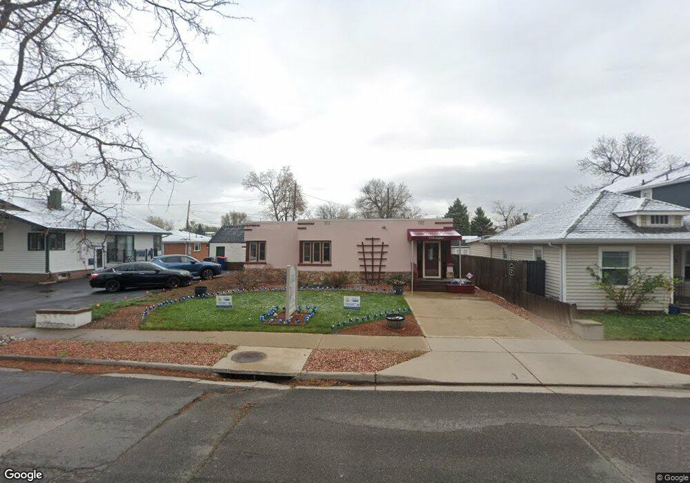
5720 Zephyr St Arvada, CO 80002
Olde Town Arvada NeighborhoodEstimated Value: $449,141
Studio
--
Bath
672
Sq Ft
$668/Sq Ft
Est. Value
About This Home
This home is located at 5720 Zephyr St, Arvada, CO 80002 and is currently estimated at $449,141, approximately $668 per square foot. 5720 Zephyr St is a home located in Jefferson County with nearby schools including Lawrence Elementary School, North Arvada Middle School, and Arvada High School.
Ownership History
Date
Name
Owned For
Owner Type
Purchase Details
Closed on
Nov 5, 1997
Sold by
Leo Anthony S and Leo Marian Marian
Bought by
Canty Leann
Current Estimated Value
Home Financials for this Owner
Home Financials are based on the most recent Mortgage that was taken out on this home.
Original Mortgage
$76,300
Outstanding Balance
$9,333
Interest Rate
7.27%
Mortgage Type
Commercial
Estimated Equity
$439,808
Create a Home Valuation Report for This Property
The Home Valuation Report is an in-depth analysis detailing your home's value as well as a comparison with similar homes in the area
Home Values in the Area
Average Home Value in this Area
Purchase History
| Date | Buyer | Sale Price | Title Company |
|---|---|---|---|
| Canty Leann | $109,000 | -- |
Source: Public Records
Mortgage History
| Date | Status | Borrower | Loan Amount |
|---|---|---|---|
| Open | Canty Leann | $76,300 |
Source: Public Records
Tax History
| Year | Tax Paid | Tax Assessment Tax Assessment Total Assessment is a certain percentage of the fair market value that is determined by local assessors to be the total taxable value of land and additions on the property. | Land | Improvement |
|---|---|---|---|---|
| 2024 | $8,998 | $92,770 | $15,767 | $77,003 |
| 2023 | $8,998 | $92,770 | $15,767 | $77,003 |
| 2022 | $6,554 | $66,921 | $14,537 | $52,384 |
| 2021 | $6,476 | $66,921 | $14,537 | $52,384 |
| 2020 | $5,990 | $62,069 | $14,537 | $47,532 |
| 2019 | $5,909 | $62,069 | $14,537 | $47,532 |
| 2018 | $5,132 | $52,411 | $13,111 | $39,300 |
| 2017 | $4,698 | $52,411 | $13,111 | $39,300 |
| 2016 | $5,111 | $53,708 | $15,515 | $38,193 |
| 2015 | $5,226 | $53,708 | $15,515 | $38,193 |
| 2014 | $5,226 | $51,620 | $14,500 | $37,120 |
Source: Public Records
Map
Nearby Homes
- 7607 Ralston Rd
- 8202 W 59th Ave
- 0000S Balsam St Unit 1
- 0000N Balsam St Unit 1
- 8243 Brooks Dr
- 6007 Yarrow St Unit D
- 6030 Yarrow St
- 6021 Yarrow St Unit B11
- 7931 W 55th Ave Unit 112
- 7357 Grandview Ave Unit 200
- 7357 Grandview Ave Unit 202
- 6009 Carr St
- 5445 Allison St
- 7313 W 60th Ave
- 7303 W 59th Ave
- 6176 Ammons St
- 5409 Zephyr Ct Unit 5409
- 6164 Brentwood St
- 8520 W 59th Ave
- 6150 Carr St
- 5718 Zephyr St
- 5716 Zephyr St
- 7884 Ralston Rd
- 7804 Ralston Rd
- 5714 Zephyr St
- 5719 Yarrow St
- 5717 Yarrow St
- 5712 Zephyr St
- 7800 Ralston Rd
- 5715 Yarrow St
- 5719 Zephyr St
- 5717 Zephyr St
- 5721 Zephyr St
- 5710 Zephyr St
- 5715 Zephyr St
- 5713 Yarrow St
- 7900 Ralston Rd
- 5713 Zephyr St
- 7805 Ralston Rd
- 5711 Yarrow St
Your Personal Tour Guide
Ask me questions while you tour the home.