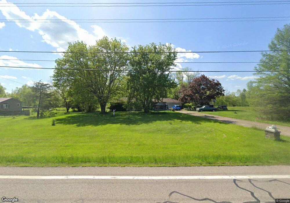
57211 Spencer Rd Cumberland, OH 43732
Estimated Value: $198,000 - $274,000
3
Beds
2
Baths
1,578
Sq Ft
$142/Sq Ft
Est. Value
About This Home
This home is located at 57211 Spencer Rd, Cumberland, OH 43732 and is currently estimated at $224,002, approximately $141 per square foot. 57211 Spencer Rd is a home located in Guernsey County with nearby schools including New Concord Elementary School, East Muskingum Middle School, and Larry Miller Intermediate Elementary School.
Ownership History
Date
Name
Owned For
Owner Type
Purchase Details
Closed on
Aug 5, 2025
Sold by
Grim Cheryl
Bought by
Moore Yvonne R
Current Estimated Value
Purchase Details
Closed on
Feb 9, 2022
Sold by
Grim Sr Jon E
Bought by
Grim Cheryl
Purchase Details
Closed on
Apr 9, 2007
Sold by
Grim Cheryl and Grim Jon E
Bought by
Grim Jon E and Grim Cheryl
Create a Home Valuation Report for This Property
The Home Valuation Report is an in-depth analysis detailing your home's value as well as a comparison with similar homes in the area
Home Values in the Area
Average Home Value in this Area
Purchase History
| Date | Buyer | Sale Price | Title Company |
|---|---|---|---|
| Moore Yvonne R | -- | None Listed On Document | |
| Moore Yvonne R | -- | None Listed On Document | |
| Grim Cheryl | -- | Zellar & Zellar | |
| Grim Jon E | -- | -- |
Source: Public Records
Tax History Compared to Growth
Tax History
| Year | Tax Paid | Tax Assessment Tax Assessment Total Assessment is a certain percentage of the fair market value that is determined by local assessors to be the total taxable value of land and additions on the property. | Land | Improvement |
|---|---|---|---|---|
| 2024 | $1,310 | $47,270 | $11,434 | $35,836 |
| 2023 | $1,149 | $36,089 | $8,729 | $27,360 |
| 2022 | $1,176 | $36,090 | $8,730 | $27,360 |
| 2021 | $1,137 | $36,090 | $8,730 | $27,360 |
| 2020 | $1,235 | $38,610 | $7,420 | $31,190 |
| 2019 | $6 | $38,610 | $7,420 | $31,190 |
| 2018 | $1,286 | $38,610 | $7,420 | $31,190 |
| 2017 | $1,286 | $33,460 | $6,450 | $27,010 |
| 2016 | $1,324 | $33,460 | $6,450 | $27,010 |
| 2015 | $1,324 | $33,460 | $6,450 | $27,010 |
| 2014 | -- | $31,440 | $4,990 | $26,450 |
| 2013 | $1,259 | $31,440 | $4,990 | $26,450 |
Source: Public Records
Map
Nearby Homes
- 3446 Clay Pike Rd
- 57881 Marlatt Rd
- 0 Red Lane Rd
- 54845 Huhn Ln
- 4896 High Hill Rd
- 59915 Craig Rd
- 60040 Bliss Rd
- 55289 Iowa Rd
- 9797 Brick Church Rd
- 0 Richards Rd Unit 5161895
- 61220 Kadon Dr
- Lot 18 & 19 Greenbriar Dr
- 60936 Patch Rd
- 1420 Glenn Hwy
- 0 Maple Ln
- 3859 Mayfair Ln
- 67 E Main St
- 61342 High Hill Rd
- 62063 Savage Rd
- 8 E Main St
- 57093 Spencer Rd
- 3700 Hillside Dr
- 57018 Spencer Rd
- 57335 Spencer Rd
- 57035 Spencer Rd
- 57333 Boston Way
- 56930 Spencer Rd
- 57222 Boston Way
- 3800 Hillside Dr
- 57435 Boston Way
- 57390 Boston Way
- 57410 Marlatt Rd
- 57257 Charles Dr
- 57444 Boston Way
- 3939 Hillside Dr
- 3888 Hillside Dr
- 57275 Charles Dr
- 3775 Clay Pike Rd
- 57446 Marlatt Rd
- 56901 Spencer Rd