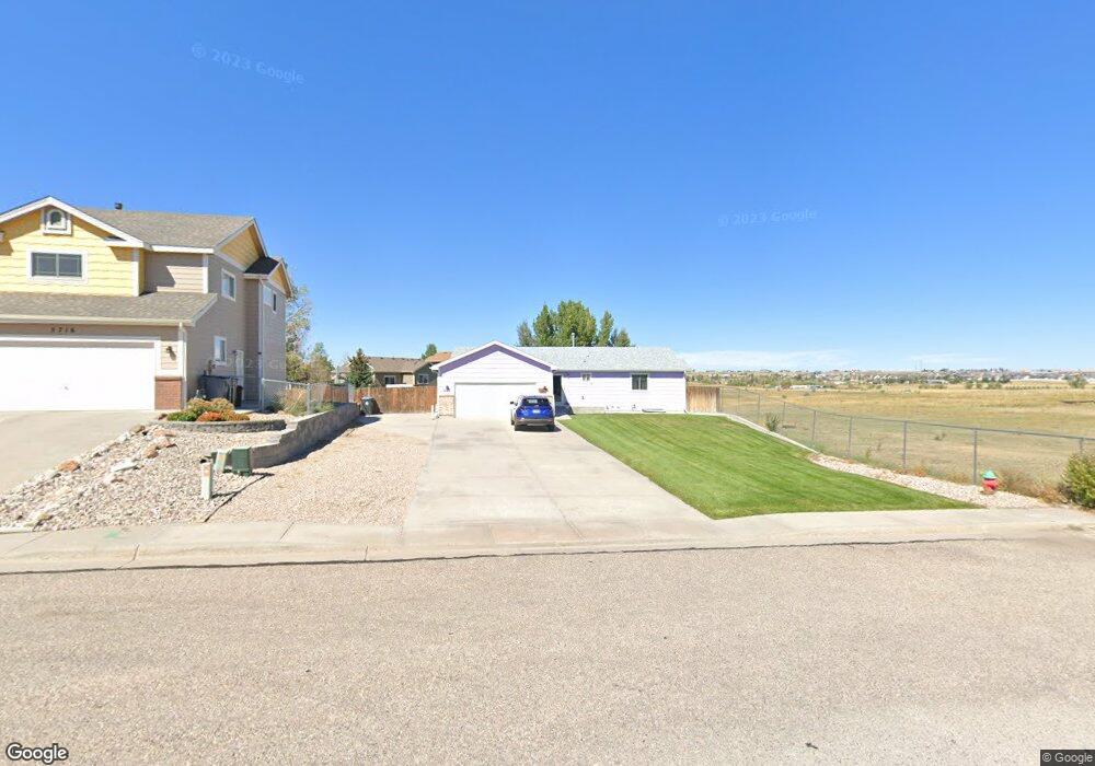
5722 E 14th St Cheyenne, WY 82001
Estimated Value: $424,000 - $458,000
Studio
--
Bath
1,286
Sq Ft
$343/Sq Ft
Est. Value
About This Home
This home is located at 5722 E 14th St, Cheyenne, WY 82001 and is currently estimated at $441,332, approximately $343 per square foot. 5722 E 14th St is a home located in Laramie County with nearby schools including Sunrise Elementary School, Johnson Junior High School, and South High School.
Ownership History
Date
Name
Owned For
Owner Type
Purchase Details
Closed on
Jul 6, 2015
Sold by
Lunsford Patricia A
Bought by
Patricia Lunsford Revocable Trust
Current Estimated Value
Purchase Details
Closed on
Jan 24, 2003
Sold by
Rocking K Construction Inc
Bought by
Lunsford Bobby O and Lunsford Patricia A
Home Financials for this Owner
Home Financials are based on the most recent Mortgage that was taken out on this home.
Original Mortgage
$55,000
Interest Rate
6%
Create a Home Valuation Report for This Property
The Home Valuation Report is an in-depth analysis detailing your home's value as well as a comparison with similar homes in the area
Purchase History
| Date | Buyer | Sale Price | Title Company |
|---|---|---|---|
| Patricia Lunsford Revocable Trust | -- | None Available | |
| Lunsford Bobby O | -- | -- |
Source: Public Records
Mortgage History
| Date | Status | Borrower | Loan Amount |
|---|---|---|---|
| Closed | Lunsford Bobby O | $55,000 |
Source: Public Records
Tax History Compared to Growth
Tax History
| Year | Tax Paid | Tax Assessment Tax Assessment Total Assessment is a certain percentage of the fair market value that is determined by local assessors to be the total taxable value of land and additions on the property. | Land | Improvement |
|---|---|---|---|---|
| 2025 | $2,006 | $24,168 | $4,722 | $19,446 |
| 2024 | $2,006 | $31,364 | $6,296 | $25,068 |
| 2023 | $2,010 | $31,427 | $6,296 | $25,131 |
| 2022 | $1,939 | $29,867 | $6,296 | $23,571 |
| 2021 | $1,814 | $28,070 | $6,296 | $21,774 |
| 2020 | $1,715 | $26,777 | $6,296 | $20,481 |
| 2019 | $1,573 | $24,785 | $6,296 | $18,489 |
| 2018 | $1,508 | $24,089 | $6,215 | $17,874 |
| 2017 | $1,466 | $23,308 | $4,928 | $18,380 |
| 2016 | $1,429 | $22,786 | $4,914 | $17,872 |
| 2015 | $1,353 | $21,726 | $4,914 | $16,812 |
| 2014 | $1,360 | $21,715 | $4,914 | $16,801 |
Source: Public Records
Map
Nearby Homes
- 5805 Kennedy Dr
- 1720 Maroon Dr
- 6119 Atlantic Dr
- 2100 Meadow Dr
- 900 Phoenix Dr
- TBD Taft Ave
- 813 Cottonwood Dr
- 1604 Taft Ave
- 5241 Atlantic Dr
- 4904 E Pershing Blvd
- 4716 Saddleback Dr
- 4404 Cottage Ln
- 4505 E 11th St
- 5831 Indigo Dr
- TBD Tract 3 E Pershing Blvd
- 3272 Campfire Trail
- Lot 10 Raleigh Dr
- Lot 11 Raleigh Dr
- Lot 12 Raleigh Dr
- 4705 Raleigh Dr
- 5716 E 14th St
- 5725 Parkside Dr
- 5721 Parkside Dr
- 5710 E 14th St
- 5715 Parkside Dr
- 5729 Parkside Dr
- 5709 Parkside Dr
- 5702 E 14th St
- 5735 Parkside Dr
- 5703 Parkside Dr
- 5705 E 14th St
- 5714 Parkside Dr
- 5741 Parkside Dr
- 5708 Parkside Dr
- 1319 Meadow Dr
- 5702 Parkside Dr
- 5745 Parkside Dr
- 1400 Meadow Dr
- 5719 Continental Place
- 5725 Continental Place