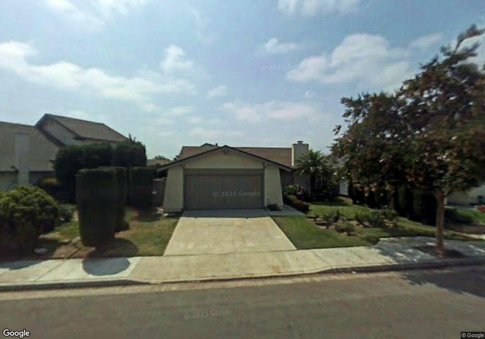
5722 Lakia Dr Cypress, CA 90630
Estimated Value: $1,085,000 - $1,233,000
4
Beds
2
Baths
1,596
Sq Ft
$726/Sq Ft
Est. Value
About This Home
This home is located at 5722 Lakia Dr, Cypress, CA 90630 and is currently estimated at $1,158,074, approximately $725 per square foot. 5722 Lakia Dr is a home located in Orange County with nearby schools including Patton Elementary School, Hilton D. Bell Intermediate School, and Pacifica High School.
Ownership History
Date
Name
Owned For
Owner Type
Purchase Details
Closed on
Feb 19, 2013
Sold by
Fosmire Patricia
Bought by
Fosmire John C
Current Estimated Value
Purchase Details
Closed on
Jul 27, 1993
Sold by
Freeman Richard T and Freeman June Pamela
Bought by
Burris Steven J
Home Financials for this Owner
Home Financials are based on the most recent Mortgage that was taken out on this home.
Original Mortgage
$115,000
Interest Rate
7.16%
Create a Home Valuation Report for This Property
The Home Valuation Report is an in-depth analysis detailing your home's value as well as a comparison with similar homes in the area
Home Values in the Area
Average Home Value in this Area
Purchase History
| Date | Buyer | Sale Price | Title Company |
|---|---|---|---|
| Fosmire John C | -- | None Available | |
| Burris Steven J | $215,500 | Continental Lawyers Title Co |
Source: Public Records
Mortgage History
| Date | Status | Borrower | Loan Amount |
|---|---|---|---|
| Closed | Burris Steven J | $115,000 |
Source: Public Records
Tax History Compared to Growth
Tax History
| Year | Tax Paid | Tax Assessment Tax Assessment Total Assessment is a certain percentage of the fair market value that is determined by local assessors to be the total taxable value of land and additions on the property. | Land | Improvement |
|---|---|---|---|---|
| 2025 | $4,214 | $366,267 | $248,830 | $117,437 |
| 2024 | $4,214 | $359,086 | $243,951 | $115,135 |
| 2023 | $4,132 | $352,046 | $239,168 | $112,878 |
| 2022 | $4,069 | $345,144 | $234,479 | $110,665 |
| 2021 | $4,029 | $338,377 | $229,881 | $108,496 |
| 2020 | $3,982 | $334,908 | $227,524 | $107,384 |
| 2019 | $3,883 | $328,342 | $223,063 | $105,279 |
| 2018 | $3,819 | $321,904 | $218,689 | $103,215 |
| 2017 | $3,767 | $315,593 | $214,401 | $101,192 |
| 2016 | $3,603 | $309,405 | $210,197 | $99,208 |
| 2015 | $3,557 | $304,758 | $207,040 | $97,718 |
| 2014 | $3,432 | $298,789 | $202,985 | $95,804 |
Source: Public Records
Map
Nearby Homes
- 5633 Lakia Dr
- 11676 Lakia Dr
- 6056 Palau St
- 11901 Saint Mark St
- 6212 Santa Rita Ave
- 6414 Anguilla Ave
- 5902 Belgrave Ave
- 11634 Talaud St
- 5832 Ludlow Ave
- 10319 Triple Crown Ln
- 11580 Panay St
- 11474 Shippigan Way
- 11051 Tarawa Dr
- 11091 Ranger Dr
- 6631 Chapman Ave
- 11131 Ticonderoga Dr
- 11781 Lamplighter St
- 6061 Killarney Ave
- 11390 Nantucket Ct
- 12441 Interior Cir