5723 Pond Ridge Cir Georgetown, IN 47122
Estimated Value: $350,000 - $561,000
3
Beds
2
Baths
1,937
Sq Ft
$228/Sq Ft
Est. Value
About This Home
This home is located at 5723 Pond Ridge Cir, Georgetown, IN 47122 and is currently estimated at $441,246, approximately $227 per square foot. 5723 Pond Ridge Cir is a home located in Floyd County with nearby schools including Georgetown Elementary School, Highland Hills Middle School, and Floyd Central High School.
Ownership History
Date
Name
Owned For
Owner Type
Purchase Details
Closed on
Aug 31, 2005
Sold by
Ameriquest Mortgage Co
Bought by
West Winston S and West Jennifer L
Current Estimated Value
Home Financials for this Owner
Home Financials are based on the most recent Mortgage that was taken out on this home.
Original Mortgage
$179,900
Outstanding Balance
$96,730
Interest Rate
5.93%
Mortgage Type
New Conventional
Estimated Equity
$344,516
Purchase Details
Closed on
Feb 19, 2005
Sold by
Havens James and Havens Donetta
Bought by
Ameriquest Mortgage Co
Create a Home Valuation Report for This Property
The Home Valuation Report is an in-depth analysis detailing your home's value as well as a comparison with similar homes in the area
Home Values in the Area
Average Home Value in this Area
Purchase History
| Date | Buyer | Sale Price | Title Company |
|---|---|---|---|
| West Winston S | -- | Investors Titlecorp | |
| Ameriquest Mortgage Co | -- | None Available |
Source: Public Records
Mortgage History
| Date | Status | Borrower | Loan Amount |
|---|---|---|---|
| Open | West Winston S | $179,900 |
Source: Public Records
Tax History Compared to Growth
Tax History
| Year | Tax Paid | Tax Assessment Tax Assessment Total Assessment is a certain percentage of the fair market value that is determined by local assessors to be the total taxable value of land and additions on the property. | Land | Improvement |
|---|---|---|---|---|
| 2024 | $2,738 | $328,000 | $52,000 | $276,000 |
| 2023 | $3,014 | $336,100 | $52,000 | $284,100 |
| 2022 | $3,295 | $350,200 | $52,000 | $298,200 |
| 2021 | $3,045 | $325,500 | $52,000 | $273,500 |
| 2020 | $3,009 | $325,500 | $52,000 | $273,500 |
| 2019 | $3,313 | $363,000 | $52,000 | $311,000 |
| 2018 | $3,184 | $348,200 | $52,000 | $296,200 |
| 2017 | $3,179 | $329,400 | $52,000 | $277,400 |
| 2016 | $2,972 | $331,900 | $52,000 | $279,900 |
| 2014 | $2,938 | $280,100 | $52,000 | $228,100 |
| 2013 | -- | $265,800 | $52,000 | $213,800 |
Source: Public Records
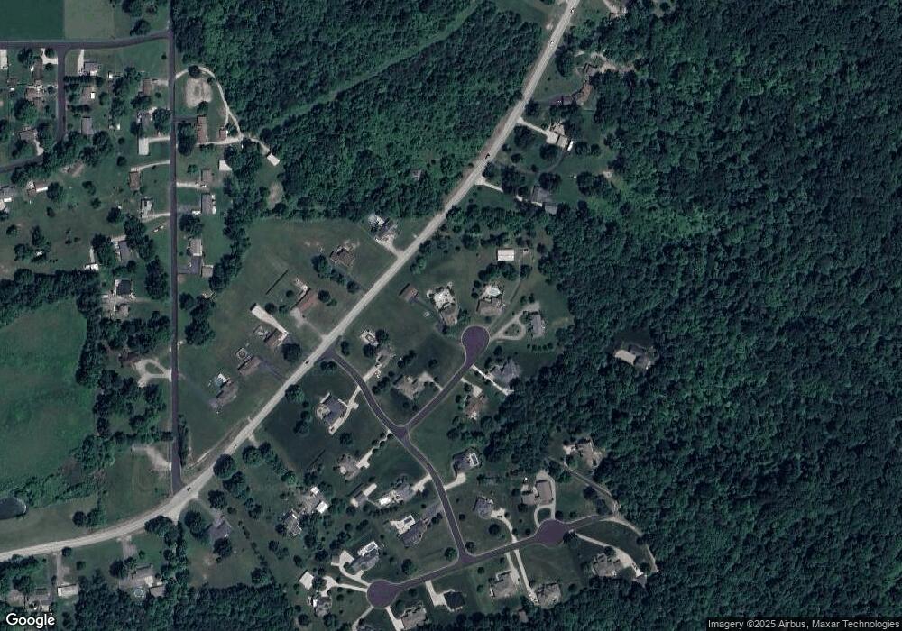
Map
Nearby Homes
- 779 Yenowine Ln
- 6121 State Road 62
- 6160 Park St
- 6201 Cherry Grove Ct
- The Solara Plan at The Springs of Old Georgetown
- The Brooklynn Plan at The Springs of Old Georgetown
- The Emerson Plan at The Springs of Old Georgetown
- 1042 Dunbarton Way Unit LOT 210
- 1040 Dunbarton Way Unit LOT 209
- 1036 Dunbarton Way Unit LOT 207
- 1032 Dunbarton Way Unit LOT 205
- 514 Park Ridge Rd
- 6812 Corydon Ridge Rd
- 1320 W Knable Rd
- 1213 Oakes Way
- 1525 E Willis Rd
- 1510 E Willis Rd
- 4945 W Rouck Rd
- 9032- LOT 912 Haylyn Ln
- Finch Bonus Plan at Knob Hill
- 5725 Pond Ridge Cir
- 1103 Pear Ridge Dr
- 1101 Pear Ridge Dr
- 5722 Pond Ridge Cir
- 5724 Pond Ridge Cir
- 5720 Pond Ridge Cir
- 5674 State Road 62
- 5720 State Road 62
- 1105 Pear Ridge Dr
- 5610 State Road 62
- 5631 State Road 62
- 1100 Pear Ridge Dr
- 1102 Pear Ridge Dr
- 1104 Pear Ridge Dr
- 5739 Ironweed Ct
- 5729 Ironweed Ct
- 5740 State Road 62
- 5733 Hillside Cir
- 5731 Hillside Cir
- 5700 State Road 62