5725 E Russet Ridge Ln Springfield, MO 65802
Southeast Springfield NeighborhoodEstimated Value: $1,357,667 - $1,372,000
4
Beds
4
Baths
4,874
Sq Ft
$280/Sq Ft
Est. Value
About This Home
This home is located at 5725 E Russet Ridge Ln, Springfield, MO 65802 and is currently estimated at $1,364,834, approximately $280 per square foot. 5725 E Russet Ridge Ln is a home located in Greene County with nearby schools including Hickory Hills K-8 School and Glendale High School.
Ownership History
Date
Name
Owned For
Owner Type
Purchase Details
Closed on
Mar 10, 2025
Sold by
Hutchens Jeffrey C
Bought by
Jeffrey C Hutchens Revocable Trust and Hutchens
Current Estimated Value
Purchase Details
Closed on
Sep 2, 2008
Sold by
Hopper Gary Don and Hopper Sandra Joan
Bought by
Hutchens Jeffrey C
Create a Home Valuation Report for This Property
The Home Valuation Report is an in-depth analysis detailing your home's value as well as a comparison with similar homes in the area
Home Values in the Area
Average Home Value in this Area
Purchase History
| Date | Buyer | Sale Price | Title Company |
|---|---|---|---|
| Jeffrey C Hutchens Revocable Trust | -- | None Listed On Document | |
| Hutchens Jeffrey C | -- | Lincoln Land Title Inc |
Source: Public Records
Tax History Compared to Growth
Tax History
| Year | Tax Paid | Tax Assessment Tax Assessment Total Assessment is a certain percentage of the fair market value that is determined by local assessors to be the total taxable value of land and additions on the property. | Land | Improvement |
|---|---|---|---|---|
| 2025 | $8,069 | $151,030 | $14,310 | $136,720 |
| 2024 | $8,069 | $142,870 | $11,940 | $130,930 |
| 2023 | $8,108 | $142,870 | $11,940 | $130,930 |
| 2022 | $7,737 | $132,590 | $11,940 | $120,650 |
| 2021 | $7,326 | $132,590 | $11,940 | $120,650 |
| 2020 | $7,040 | $121,270 | $11,940 | $109,330 |
| 2019 | $6,853 | $121,270 | $11,940 | $109,330 |
| 2018 | $6,579 | $116,310 | $11,960 | $104,350 |
| 2017 | $6,515 | $107,780 | $11,960 | $95,820 |
| 2016 | $6,036 | $107,780 | $11,960 | $95,820 |
| 2015 | $5,986 | $107,780 | $11,960 | $95,820 |
| 2014 | $5,844 | $104,420 | $11,930 | $92,490 |
Source: Public Records
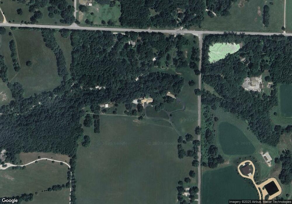
Map
Nearby Homes
- 1984 N Alysheba Ct
- 1999 N Alysheba Ct
- 2025 N Unbridled Ct
- 5558 E Cavalcade Ln
- Lot 1 Morningwood
- 5546 E Cavalcade Ln
- 5534 E Cavalcade Ln
- 5564 E Wild Horse Dr
- 1999 N Riva Ridge Ct
- Lake Edge Plan at Wild Horse
- Lake Edge II Plan at Wild Horse
- Lancaster II Plan at Wild Horse
- Meadowood Plan at Wild Horse
- Palomino Plan at Wild Horse
- Silverado Plan at Wild Horse
- Stone Ridge Plan at Wild Horse
- Emerson Plan at Wild Horse
- Lancaster I Plan at Wild Horse
- 1961 N Cannonade Ct
- Lot 14 E Farm Road 132
- 5641 E Russet Ridge Ln
- 5716 E State Highway Yy
- 5646 E State Highway Yy
- 5682 E State Highway Yy
- 5607 E Russet Ridge Ln
- 1425 N Farm Road 205
- 5713 E Division St
- 1524 N Farm Road 203
- 1119 N Farm Road 205
- 5892 E State Highway Yy
- 1612 N Farm Road 203
- 1071 N Farm Road 205
- 5521 E Division St
- 5501 E Four Wheel Dr
- 1055 N Farm Road 205
- 1643 N Farm Road 203
- 1611 N Farm Road 203
- 5455 E State Highway Yy
- 5362 E State Highway Yy
- All Lots of Wild Horse Subdivision