5726 Brooks Hwy Onsted, MI 49265
Estimated Value: $353,000 - $361,677
--
Bed
--
Bath
1,874
Sq Ft
$191/Sq Ft
Est. Value
About This Home
This home is located at 5726 Brooks Hwy, Onsted, MI 49265 and is currently estimated at $358,226, approximately $191 per square foot. 5726 Brooks Hwy is a home with nearby schools including Onsted Elementary School, Onsted Middle School, and Onsted Community High School.
Ownership History
Date
Name
Owned For
Owner Type
Purchase Details
Closed on
Mar 1, 2019
Sold by
Lenawee County Of
Bought by
Bryant Kevin
Current Estimated Value
Purchase Details
Closed on
Mar 16, 2016
Sold by
Stone Brittany
Bought by
Bryant Kevin
Purchase Details
Closed on
Dec 5, 2014
Sold by
Bryant Kevin
Bought by
Bryant Kevin and Stone Brittany A
Purchase Details
Closed on
Jul 9, 2007
Sold by
24 7 Bail Bond Agency Llc
Bought by
Parkutst Ronald E
Purchase Details
Closed on
Mar 19, 2007
Sold by
2 Bail Bond Agency Llc
Bought by
Parkhurst Ronald E
Purchase Details
Closed on
May 5, 2006
Sold by
Parkhurst Ronald E
Bought by
Bryant Kevin
Create a Home Valuation Report for This Property
The Home Valuation Report is an in-depth analysis detailing your home's value as well as a comparison with similar homes in the area
Home Values in the Area
Average Home Value in this Area
Purchase History
| Date | Buyer | Sale Price | Title Company |
|---|---|---|---|
| Bryant Kevin | $3,325 | None Available | |
| Bryant Kevin | -- | None Available | |
| Bryant Kevin | -- | None Available | |
| Parkutst Ronald E | -- | None Available | |
| Parkhurst Ronald E | -- | None Available | |
| Parkhurst Ronald E | -- | None Available | |
| Parkhurst Ronald E | -- | None Available | |
| Parkhurst Ronald E | -- | None Available | |
| Parkhurst Ronald E | -- | None Available | |
| Bryant Kevin | -- | None Available |
Source: Public Records
Tax History Compared to Growth
Tax History
| Year | Tax Paid | Tax Assessment Tax Assessment Total Assessment is a certain percentage of the fair market value that is determined by local assessors to be the total taxable value of land and additions on the property. | Land | Improvement |
|---|---|---|---|---|
| 2025 | $3,544 | $174,800 | $0 | $0 |
| 2024 | $1,511 | $163,500 | $0 | $0 |
| 2023 | $3,226 | $157,200 | $0 | $0 |
| 2022 | $1,327 | $149,100 | $0 | $0 |
| 2021 | $3,191 | $145,300 | $0 | $0 |
| 2020 | $3,073 | $140,700 | $0 | $0 |
| 2019 | $317,735 | $130,900 | $0 | $0 |
| 2018 | $2,897 | $130,919 | $0 | $0 |
| 2017 | $2,783 | $121,932 | $0 | $0 |
| 2016 | $2,765 | $115,741 | $0 | $0 |
| 2014 | -- | $106,917 | $0 | $0 |
Source: Public Records
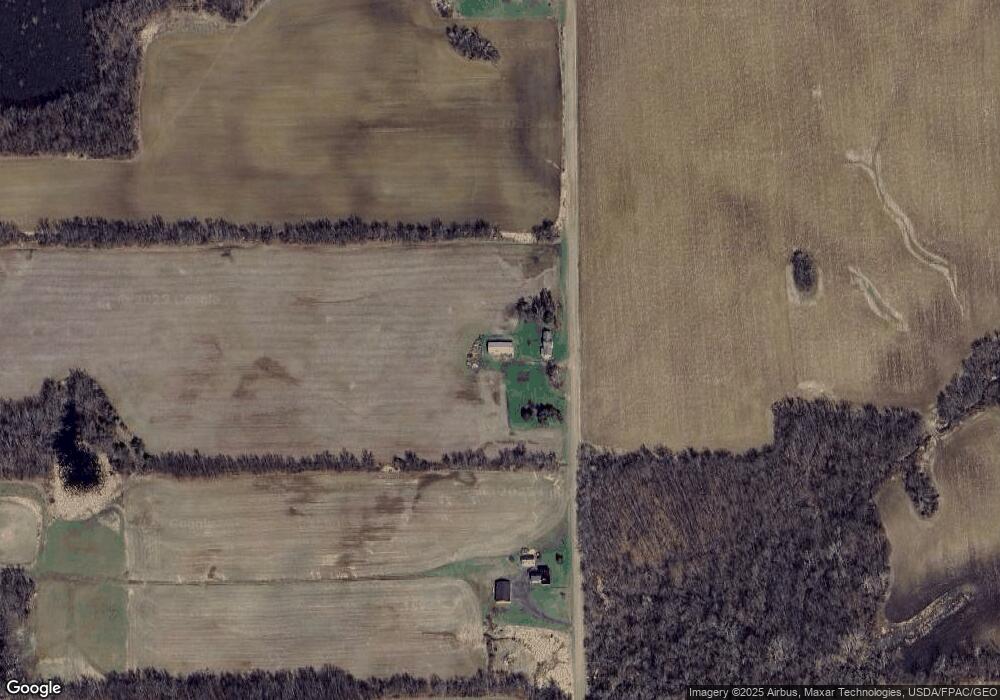
Map
Nearby Homes
- 11943 U S 223
- 11485 U S 223
- 10093 Shepherd Rd
- 10512 Rome Rd
- 12000 Us Highway 223
- 9875 Stoddard Rd
- 212 S Maple St
- 5101 Hallenbeck Hwy
- 116 W Fourth St
- 6700 Hallenbeck Hwy Unit 6700 Blk Hallenbeck
- 111 Greenleaf
- 8825 Mills
- 7090 Hallenbeck Hwy
- 409 Connor St
- 3145 Round Lake Hwy
- 3129 Oakshade Dr
- 2000 Paradise Park St
- 3951 Woerner Rd
- 3953 Woerner Rd
- 2973 Round Lake Hwy
- 5592 Brooks Hwy
- 5920 Brooks Hwy
- 11205 Shepherd Rd
- 5588 Brooks Hwy
- 11210 Shepherd Rd
- 11202 Shepherd Rd
- 11108 Shepherd Rd
- 11392 Shepherd Rd
- 6670 Brooks Hwy
- 11481 Shepherd Rd
- 11480 Shepherd Rd
- 11992 Us Highway 223
- 10921 Shepherd Rd
- 11640 Shepard
- 11677 Shepherd Rd
- 10731 Shepherd Rd
- 11490 Us Highway 223
- 6198 Brooks Hwy
- 11737 Shepherd Rd
- 11771 Us Highway 223