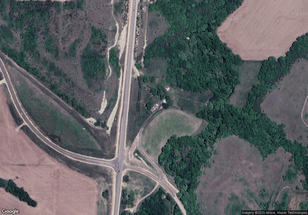
5727 Rifle Range Rd Milford, KS 66514
Estimated Value: $279,000 - $465,287
2
Beds
2
Baths
2,300
Sq Ft
$166/Sq Ft
Est. Value
About This Home
This home is located at 5727 Rifle Range Rd, Milford, KS 66514 and is currently estimated at $382,762, approximately $166 per square foot. 5727 Rifle Range Rd is a home located in Geary County with nearby schools including Ware Elementary School, Fort Riley Middle School, and Junction City Senior High School.
Ownership History
Date
Name
Owned For
Owner Type
Purchase Details
Closed on
Apr 26, 2023
Sold by
Weber Patricia E
Bought by
Dixon Michael E
Current Estimated Value
Purchase Details
Closed on
Mar 23, 2021
Sold by
Weber Patricia E
Bought by
Secretary Of Transporation
Create a Home Valuation Report for This Property
The Home Valuation Report is an in-depth analysis detailing your home's value as well as a comparison with similar homes in the area
Home Values in the Area
Average Home Value in this Area
Purchase History
| Date | Buyer | Sale Price | Title Company |
|---|---|---|---|
| Dixon Michael E | -- | None Listed On Document | |
| Secretary Of Transporation | -- | None Available |
Source: Public Records
Tax History Compared to Growth
Tax History
| Year | Tax Paid | Tax Assessment Tax Assessment Total Assessment is a certain percentage of the fair market value that is determined by local assessors to be the total taxable value of land and additions on the property. | Land | Improvement |
|---|---|---|---|---|
| 2025 | $3,369 | $33,047 | $7,098 | $25,949 |
| 2024 | $3,197 | $31,127 | $6,679 | $24,448 |
| 2023 | $3,464 | $32,028 | $6,714 | $25,314 |
| 2022 | $0 | $32,239 | $6,381 | $25,858 |
| 2021 | $0 | $26,931 | $8,236 | $18,695 |
| 2020 | $3,174 | $26,294 | $8,044 | $18,250 |
| 2019 | $3,077 | $25,400 | $7,511 | $17,889 |
| 2018 | $2,827 | $23,424 | $7,069 | $16,355 |
| 2017 | $2,721 | $22,328 | $6,973 | $15,355 |
| 2016 | $2,817 | $22,818 | $6,702 | $16,116 |
| 2015 | $2,602 | $21,989 | $4,791 | $17,198 |
| 2014 | $2,339 | $20,788 | $4,320 | $16,468 |
Source: Public Records
Map
Nearby Homes
- 7028 U S 77
- 7400 Hillside Dr
- 2700 Meadowlark Dr
- 1840 Katie Rose Trail
- 1834 Katie Rose Trail
- 3100 Rolling Hills Dr
- 2007 Quail Run
- 1703 Lydia Ln
- 2117 Thompson Dr
- 1129 W 20th Cir
- 2218 Cinder Ct
- 2137 Killdeer Ct
- 2328 Osprey Ct
- 2326 Osprey Ct
- 2332 Buckshot Dr
- 9928 Quarry Rd
- 2434 Jaeger Dr
- 0000 Rucker Rd
- 1504 Thompson Dr
- 2431 Harrier Dr
- 5607 N Us Highway 77
- 5516 Rifle Range Rd
- 6317 Old Milford Rd
- 6601 Hillside Cir
- 6409 Old Milford Rd
- 6905 Hillside Dr
- 6625 Hillside Cir
- 6624 Hillside Dr
- 6919 Hillside Dr
- 7029 N Us Highway 77
- 7028 N Us Highway 77
- 7028 N Us Highway 77
- 6908 Hillside Dr
- 6511 Old Milford Rd
- 6912 Hillside Dr
- 6615 Old Milford Rd
- 6711 Old Milford Rd
- 6608 Old Milford Rd
