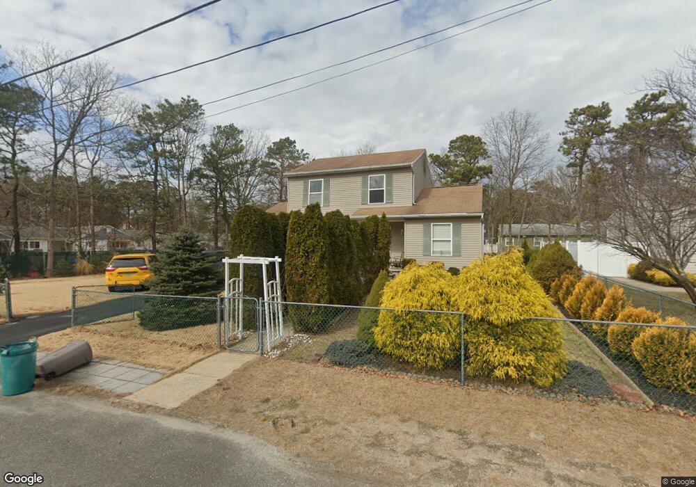
573 5th Ave Toms River, NJ 08757
Manchester Township NeighborhoodEstimated Value: $519,000 - $583,000
3
Beds
2
Baths
2,340
Sq Ft
$239/Sq Ft
Est. Value
About This Home
This home is located at 573 5th Ave, Toms River, NJ 08757 and is currently estimated at $558,405, approximately $238 per square foot. 573 5th Ave is a home located in Ocean County with nearby schools including Manchester Township High School.
Ownership History
Date
Name
Owned For
Owner Type
Purchase Details
Closed on
Mar 9, 2000
Sold by
Parker Mark
Bought by
Szcvekutowicz Robert and Szcvekutowicz Malgorzato
Current Estimated Value
Purchase Details
Closed on
Jun 16, 1997
Sold by
Aaron Dev
Bought by
Parker Mark and Parker Michelle
Home Financials for this Owner
Home Financials are based on the most recent Mortgage that was taken out on this home.
Original Mortgage
$95,000
Interest Rate
7.86%
Mortgage Type
FHA
Create a Home Valuation Report for This Property
The Home Valuation Report is an in-depth analysis detailing your home's value as well as a comparison with similar homes in the area
Home Values in the Area
Average Home Value in this Area
Purchase History
| Date | Buyer | Sale Price | Title Company |
|---|---|---|---|
| Szcvekutowicz Robert | $127,500 | -- | |
| Parker Mark | $103,400 | -- |
Source: Public Records
Mortgage History
| Date | Status | Borrower | Loan Amount |
|---|---|---|---|
| Previous Owner | Parker Mark | $95,000 |
Source: Public Records
Tax History Compared to Growth
Tax History
| Year | Tax Paid | Tax Assessment Tax Assessment Total Assessment is a certain percentage of the fair market value that is determined by local assessors to be the total taxable value of land and additions on the property. | Land | Improvement |
|---|---|---|---|---|
| 2025 | $6,714 | $560,500 | $301,400 | $259,100 |
| 2024 | $6,373 | $273,500 | $83,200 | $190,300 |
| 2023 | $6,058 | $273,500 | $83,200 | $190,300 |
| 2022 | $6,058 | $273,500 | $83,200 | $190,300 |
| 2021 | $5,927 | $273,500 | $83,200 | $190,300 |
| 2020 | $5,771 | $273,500 | $83,200 | $190,300 |
| 2019 | $6,413 | $250,000 | $83,200 | $166,800 |
| 2018 | $6,388 | $250,000 | $83,200 | $166,800 |
| 2017 | $6,413 | $250,000 | $83,200 | $166,800 |
| 2016 | $6,335 | $250,000 | $83,200 | $166,800 |
| 2015 | $6,218 | $250,000 | $83,200 | $166,800 |
| 2014 | $6,090 | $250,000 | $83,200 | $166,800 |
Source: Public Records
Map
Nearby Homes
- 333 Savannah Rd
- 501 Bismarck St
- 1881 New Jersey 37 Unit 246
- 612 Bismarck St
- 1012 Bismarck St
- 1991 Route 37 W Unit 177
- 609 Commonwealth Blvd
- 800 Northampton Blvd
- 716 Commonwealth Blvd
- 832 Seventh Ave
- 613 Champlain St
- 733 Commonwealth Blvd
- 841 3rd Ave
- 44 2nd St
- 42 3rd St
- 213 Champlain St
- 801 Commonwealth Blvd
- 701 Madison Ave
- 833 12th Ave
- 801 Middlesex St
- 582 6th Ave
- 572 5th Ave
- 583 5th Ave
- 106 Donovan Ct
- 501 Manchester St
- 109 Whitman Ct
- 513 Manchester St
- 463 Manchester St
- 582 5th Ave
- 579 Broadway Blvd
- 583 6th Ave
- 591 6th Ave
- 451 Manchester St
- 601 5th Ave
- 580 Broadway Blvd
- 613 Manchester St
- 110 Whitman Ct
- 462 Manchester St
- 601 Broadway Blvd
- 600 Manchester St