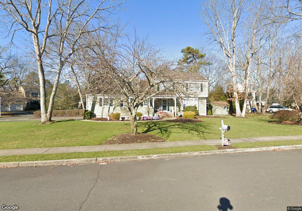
573 Cedar Grove Rd Toms River, NJ 08753
Estimated Value: $657,331 - $773,000
4
Beds
3
Baths
3,072
Sq Ft
$230/Sq Ft
Est. Value
About This Home
This home is located at 573 Cedar Grove Rd, Toms River, NJ 08753 and is currently estimated at $705,833, approximately $229 per square foot. 573 Cedar Grove Rd is a home located in Ocean County.
Ownership History
Date
Name
Owned For
Owner Type
Purchase Details
Closed on
May 29, 2021
Sold by
Bodden Lawrence C and Bodden Patricia A
Bought by
Baranello John and Baranello Dana
Current Estimated Value
Home Financials for this Owner
Home Financials are based on the most recent Mortgage that was taken out on this home.
Original Mortgage
$535,128
Outstanding Balance
$484,492
Interest Rate
2.9%
Mortgage Type
FHA
Estimated Equity
$221,341
Purchase Details
Closed on
Aug 15, 1994
Sold by
Dosil Bertha
Bought by
Boddem Lawrence and Boddem Patricia
Home Financials for this Owner
Home Financials are based on the most recent Mortgage that was taken out on this home.
Original Mortgage
$153,000
Interest Rate
8.65%
Purchase Details
Closed on
Aug 11, 1994
Sold by
Schuessler Veronica
Bought by
Dosil Bertha
Home Financials for this Owner
Home Financials are based on the most recent Mortgage that was taken out on this home.
Original Mortgage
$153,000
Interest Rate
8.65%
Create a Home Valuation Report for This Property
The Home Valuation Report is an in-depth analysis detailing your home's value as well as a comparison with similar homes in the area
Home Values in the Area
Average Home Value in this Area
Purchase History
| Date | Buyer | Sale Price | Title Company |
|---|---|---|---|
| Baranello John | $545,000 | Wfg National Title Ins Co | |
| Baranello John | $545,000 | Wfg National Title | |
| Boddem Lawrence | $193,000 | -- | |
| Dosil Bertha | $145,000 | -- |
Source: Public Records
Mortgage History
| Date | Status | Borrower | Loan Amount |
|---|---|---|---|
| Open | Baranello John | $535,128 | |
| Closed | Baranello John | $535,128 | |
| Previous Owner | Boddem Lawrence | $153,000 |
Source: Public Records
Tax History Compared to Growth
Tax History
| Year | Tax Paid | Tax Assessment Tax Assessment Total Assessment is a certain percentage of the fair market value that is determined by local assessors to be the total taxable value of land and additions on the property. | Land | Improvement |
|---|---|---|---|---|
| 2025 | $8,992 | $493,800 | $162,000 | $331,800 |
| 2024 | $8,548 | $493,800 | $162,000 | $331,800 |
| 2023 | $8,242 | $493,800 | $162,000 | $331,800 |
| 2022 | $8,242 | $493,800 | $162,000 | $331,800 |
| 2021 | $5,227 | $277,800 | $105,300 | $172,500 |
| 2020 | $6,928 | $277,800 | $105,300 | $172,500 |
| 2019 | $6,628 | $277,800 | $105,300 | $172,500 |
| 2018 | $6,539 | $277,800 | $105,300 | $172,500 |
| 2017 | $6,484 | $277,800 | $105,300 | $172,500 |
| 2016 | $6,314 | $277,800 | $105,300 | $172,500 |
| 2015 | $6,075 | $277,800 | $105,300 | $172,500 |
| 2014 | $5,784 | $277,800 | $105,300 | $172,500 |
Source: Public Records
Map
Nearby Homes
- 751 High Meadow Dr
- 939 Alden Dr
- 308 Cedar Grove Rd
- 1004 Sheila Dr
- 1016 Sheila Dr
- 855 Derry Dr
- 1115 Verdant Rd
- 241 Lester Rd
- 711 Bay Ave
- 520 Delos Dr
- 1072 Lake Placid Dr
- 308 Tradewinds Ave
- 367 Flaam St
- 821 Oak Ave
- 823 Oak Ave
- 802 Carnaby Ln
- 405 Aberdeen Ln Unit 425
- 146 Shenandoah Blvd
- 830 Brookside Dr
- 1305 King George Ln
- 792 Foothill Ct
- 572 Cedar Grove Rd
- 576 Cedar Grove Rd
- 795 Foothill Ct
- 788 Foothill Ct
- 799 Foothill Ct
- 568 Cedar Grove Rd
- 580 Cedar Grove Rd
- 791 Foothill Ct
- 585 Cedar Grove Rd
- 787 Foothill Ct
- 795 Heritage Way
- 791 Heritage Way
- 584 Cedar Grove Rd
- 787 Heritage Way
- 85 Oak Glen Rd
- 87 Oak Glen Rd
- 588 Cedar Grove Rd
- 934 Millstone Ct
- 938 Millstone Ct