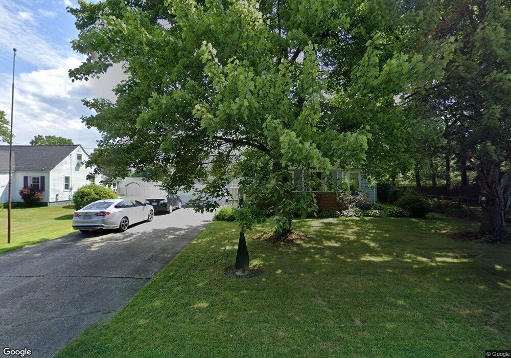
573 Forest Hill Dr Youngstown, OH 44515
Austintown NeighborhoodEstimated Value: $142,000 - $173,000
About This Home
This home is located at 573 Forest Hill Dr, Youngstown, OH 44515 and is currently estimated at $161,124, approximately $122 per square foot. 573 Forest Hill Dr is a home located in Mahoning County with nearby schools including Austintown Elementary School, Austintown Intermediate School, and Austintown Middle School.
Ownership History
We collect this data history from publicly available records. To have your information removed, we recommend requesting removal directly through your county’s website.
Purchase Details
Purchase Details
Home Values in the Area
Average Home Value in this Area
Purchase History
We collect this data history from publicly available records. To have your information removed, we recommend requesting removal directly through your county’s website.
| Date | Buyer | Sale Price | Title Company |
|---|---|---|---|
| -- | None Available | ||
| $41,500 | -- |
Tax History
We collect this data history from publicly available records. To have your information removed, we recommend requesting removal directly through your county’s website.
| Year | Tax Paid | Tax Assessment Tax Assessment Total Assessment is a certain percentage of the fair market value that is determined by local assessors to be the total taxable value of land and additions on the property. | Land | Improvement |
|---|---|---|---|---|
| 2025 | $1,905 | $39,400 | $4,980 | $34,420 |
| 2024 | $1,821 | $39,400 | $4,980 | $34,420 |
| 2023 | $1,788 | $39,400 | $4,980 | $34,420 |
| 2022 | $1,580 | $27,910 | $3,330 | $24,580 |
| 2021 | $1,582 | $27,910 | $3,330 | $24,580 |
| 2020 | $1,587 | $27,910 | $3,330 | $24,580 |
| 2019 | $961 | $23,860 | $2,850 | $21,010 |
| 2018 | $944 | $23,860 | $2,850 | $21,010 |
| 2017 | $572 | $23,860 | $2,850 | $21,010 |
| 2016 | $1,162 | $27,860 | $2,850 | $25,010 |
| 2015 | $1,149 | $27,860 | $2,850 | $25,010 |
| 2014 | $1,131 | $27,860 | $2,850 | $25,010 |
| 2013 | $1,118 | $27,860 | $2,850 | $25,010 |
Map
- 533 Forest Hill Dr
- 1014 Kirwan Dr
- 3904 Dunbar St
- 497 Forest Hill Dr
- 3894 Cannon Rd
- 3930 Cannon Rd
- 4126 Woodmere Dr
- 4138 Burkey Rd
- 4130 Woodmere Dr
- 3898 New Rd
- 4174 Burkey Rd
- 431 Westgate Blvd
- 3902 Ayrshire Dr
- 1627 Yolanda Dr
- 410 Southward Dr
- 333 S Edgehill Ave
- 653 S Meridian Rd
- 565 S Meridian Rd
- 3371 Fremont Ave
- 3730 Ayrshire Dr
- 551 Forest Hill Dr
- 3954 Artmar Dr
- 545 Forest Hill Dr
- 3908 Burkey Rd
- 3904 Burkey Rd
- 3960 Artmar Dr
- 3948 Artmar Dr
- 568 Forest Hill Dr
- 554 Forest Hill Dr Unit 556
- 541 Forest Hill Dr
- 550 Forest Hill Dr
- 3884 Burkey Rd
- 3942 Artmar Dr
- 546 Forest-Hill Dr
- 546 Forest Hill Dr
- 539 Forest Hill Dr
- 3876 Burkey Rd
- 3966 Artmar Dr
- 542 Forest Hill Dr
- 3934 Burkey Rd
Ask me questions while you tour the home.