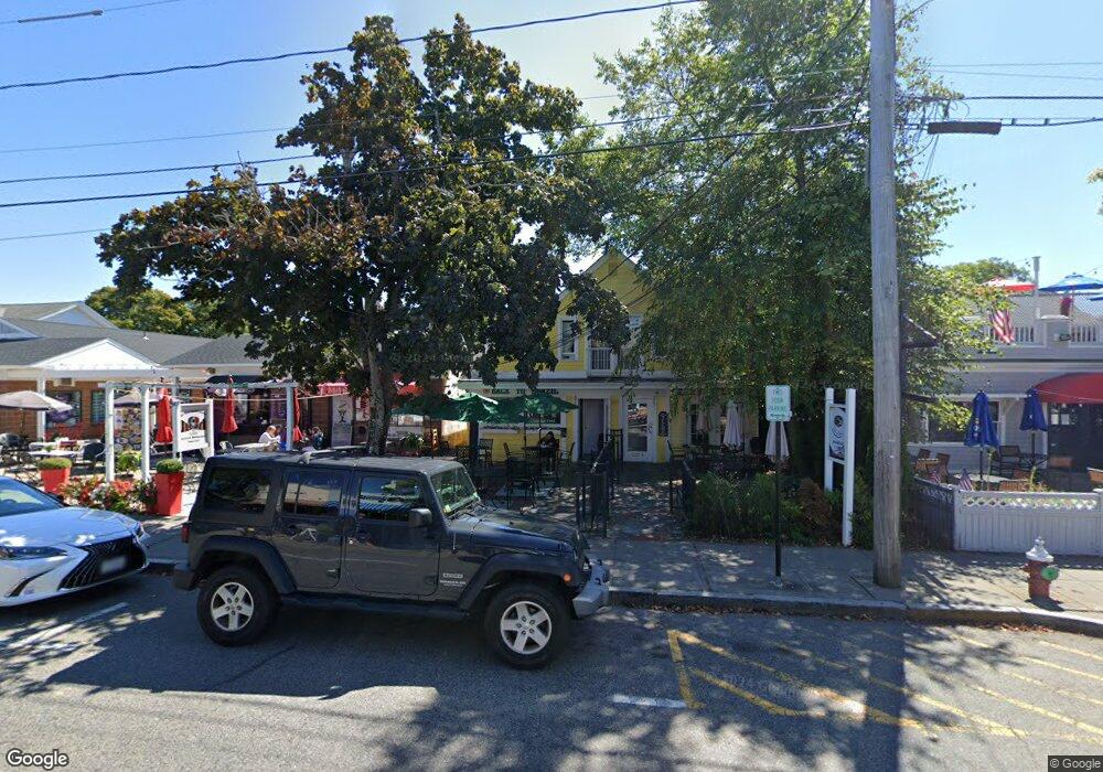
573 Main St Hyannis, MA 2601
Estimated Value: $951,208
Studio
--
Bath
3,426
Sq Ft
$278/Sq Ft
Est. Value
About This Home
This home is located at 573 Main St, Hyannis, MA 2601 and is currently estimated at $951,208, approximately $277 per square foot. 573 Main St is a home located in Barnstable County with nearby schools including Hyannis West Elementary School, Barnstable United Elementary School, and Barnstable Intermediate School.
Ownership History
Date
Name
Owned For
Owner Type
Purchase Details
Closed on
Jun 20, 2001
Sold by
Dia Rt
Bought by
Bodick Rt
Current Estimated Value
Home Financials for this Owner
Home Financials are based on the most recent Mortgage that was taken out on this home.
Original Mortgage
$210,000
Outstanding Balance
$79,701
Interest Rate
7.09%
Mortgage Type
Commercial
Estimated Equity
$871,507
Purchase Details
Closed on
Mar 3, 1997
Sold by
Sisters Rt and Brenner Nelson
Bought by
Dia Rt and Toscano Elizabeth M
Home Financials for this Owner
Home Financials are based on the most recent Mortgage that was taken out on this home.
Original Mortgage
$208,000
Interest Rate
7.78%
Mortgage Type
Purchase Money Mortgage
Purchase Details
Closed on
Dec 11, 1995
Sold by
Williams Kenneth E and Williams Judith A
Bought by
Colby Rt and Neary John F
Purchase Details
Closed on
Apr 22, 1991
Sold by
Jamura Rt
Bought by
Colonial Bank
Purchase Details
Closed on
Sep 30, 1988
Sold by
Jamun Rt
Bought by
Silverman Malcolm J
Create a Home Valuation Report for This Property
The Home Valuation Report is an in-depth analysis detailing your home's value as well as a comparison with similar homes in the area
Home Values in the Area
Average Home Value in this Area
Purchase History
| Date | Buyer | Sale Price | Title Company |
|---|---|---|---|
| Bodick Rt | $290,000 | -- | |
| Bodick Rt | $290,000 | -- | |
| Dia Rt | $143,000 | -- | |
| Colby Rt | $60,000 | -- | |
| Colonial Bank | $425,000 | -- | |
| Colonial Bank | $425,000 | -- | |
| Silverman Malcolm J | $69,400 | -- |
Source: Public Records
Mortgage History
| Date | Status | Borrower | Loan Amount |
|---|---|---|---|
| Open | Silverman Malcolm J | $210,000 | |
| Closed | Silverman Malcolm J | $210,000 | |
| Previous Owner | Silverman Malcolm J | $208,000 |
Source: Public Records
Tax History
| Year | Tax Paid | Tax Assessment Tax Assessment Total Assessment is a certain percentage of the fair market value that is determined by local assessors to be the total taxable value of land and additions on the property. | Land | Improvement |
|---|---|---|---|---|
| 2025 | $5,149 | $523,800 | $0 | $523,800 |
| 2024 | $4,949 | $507,600 | $0 | $507,600 |
| 2023 | $5,335 | $507,600 | $0 | $507,600 |
| 2022 | $6,048 | $472,500 | $0 | $472,500 |
| 2021 | $5,853 | $457,300 | $0 | $457,300 |
| 2020 | $6,108 | $464,100 | $0 | $464,100 |
| 2019 | $6,338 | $469,500 | $0 | $469,500 |
| 2018 | $6,640 | $510,800 | $0 | $510,800 |
| 2017 | $6,426 | $510,800 | $0 | $510,800 |
| 2016 | $6,273 | $510,800 | $0 | $510,800 |
| 2015 | $5,998 | $499,800 | $0 | $499,800 |
Source: Public Records
Map
Nearby Homes
- 117 Oak Neck Rd
- 125 Sea St
- 138 Chase St
- 55 Louis St
- 287 Ocean St Unit C2
- 287 Ocean St Unit 2 BLDG C
- 72 Grove St
- 49 Snow Creek Dr
- 35 Pleasant St
- 78 Bristol Ave
- 68 Center St Unit 13
- 25 Ripple Cove Rd
- 135 W Main St Unit 7
- 292 Megan Rd
- 169 Gosnold St
- 281 Megan Rd
- 252 Hinckley Rd
- 8 Jasmine Ln
- 43 Quaker Rd
- 432 Sea St Unit 8D
- 569 Main St
- 569 Main St Unit D3
- 569 Main St Unit 9
- 569 Main St Unit 8
- 569 Main St Unit 7
- 569 Main St Unit 6
- 569 Main St Unit 5
- 569 Main St Unit 4
- 569 Main St Unit 1210
- 569 Main St Unit B
- 569 Main St Unit D
- 569 Main St Unit 8
- 569 Main St Unit 12
- 569 Main St Unit 11
- 569 Main St Unit 2
- 569 Main St Unit 3
- 569 Main St Unit 1
- 569 Main St Unit 10
- 569 Main St Unit D4 & D5
- 573 Main St Unit B
Your Personal Tour Guide
Ask me questions while you tour the home.