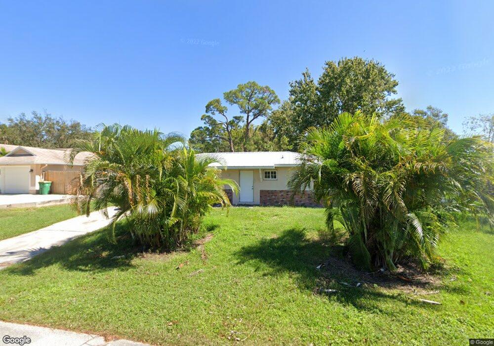
573 Michael St Sebastian, FL 32958
Sebastian Highlands NeighborhoodEstimated Value: $197,000 - $225,000
2
Beds
1
Bath
912
Sq Ft
$236/Sq Ft
Est. Value
About This Home
This home is located at 573 Michael St, Sebastian, FL 32958 and is currently estimated at $215,135, approximately $235 per square foot. 573 Michael St is a home located in Indian River County with nearby schools including Sebastian Elementary School, Sebastian River Middle School, and Sebastian River High School.
Ownership History
Date
Name
Owned For
Owner Type
Purchase Details
Closed on
Oct 28, 1996
Sold by
Ayers Elsie L
Bought by
Linscott Michael and Linscott Patricia A
Current Estimated Value
Home Financials for this Owner
Home Financials are based on the most recent Mortgage that was taken out on this home.
Original Mortgage
$33,600
Outstanding Balance
$2,637
Interest Rate
8.13%
Estimated Equity
$212,498
Purchase Details
Closed on
Apr 8, 1996
Sold by
Sanders E Russell
Bought by
Ayers Elsie L
Purchase Details
Closed on
Apr 4, 1996
Sold by
Sanders Karen L
Bought by
Ayers Elsie L
Create a Home Valuation Report for This Property
The Home Valuation Report is an in-depth analysis detailing your home's value as well as a comparison with similar homes in the area
Home Values in the Area
Average Home Value in this Area
Purchase History
| Date | Buyer | Sale Price | Title Company |
|---|---|---|---|
| Linscott Michael | $46,000 | -- | |
| Ayers Elsie L | -- | -- | |
| Ayers Elsie L | -- | -- |
Source: Public Records
Mortgage History
| Date | Status | Borrower | Loan Amount |
|---|---|---|---|
| Open | Linscott Michael | $33,600 |
Source: Public Records
Tax History
| Year | Tax Paid | Tax Assessment Tax Assessment Total Assessment is a certain percentage of the fair market value that is determined by local assessors to be the total taxable value of land and additions on the property. | Land | Improvement |
|---|---|---|---|---|
| 2025 | $963 | $49,313 | -- | -- |
| 2024 | $617 | $49,313 | -- | -- |
| 2023 | $617 | $46,527 | $0 | $0 |
| 2022 | $587 | $45,171 | $0 | $0 |
| 2021 | $566 | $43,855 | $0 | $0 |
| 2020 | $553 | $43,249 | $0 | $0 |
| 2019 | $536 | $42,276 | $0 | $0 |
| 2018 | $527 | $41,488 | $0 | $0 |
| 2017 | $452 | $40,635 | $0 | $0 |
| 2016 | $439 | $39,800 | $0 | $0 |
| 2015 | $445 | $39,530 | $0 | $0 |
| 2014 | $414 | $39,220 | $0 | $0 |
Source: Public Records
Map
Nearby Homes
- 401 Betty Ave
- 557 Drawdy Way
- 573 Wimbrow Dr
- 526 Saunders St
- 514 Wimbrow Dr
- 549 Layport Dr
- 422 Del Monte Rd Unit A&B
- 422 Del Monte Rd
- 495 Easy St
- 362 Del Monte Rd
- 502 Park Ave
- 426 Ash St
- 425 Banyan St
- 000 River Run (Dock) Dr
- 366 Faith Terrace
- 441 Columbus St
- 486 Hazel St
- 402 Toledo St
- 450 Hazel St
- 261 Del Monte Rd
- 581 Michael St
- 565 Michael St
- 566 Sloane St
- 574 Sloane St
- 557 Michael St
- 566 Michael St
- 544 Wimbrow Dr
- 574 Michael St Unit 2
- 558 Michael St
- 549 Michael St
- 590 Futch Way
- 598 Futch Way
- 550 Sloane St
- 550 Michael St
- 589 Sloane St
- 565 Saunders St
- 573 Saunders St
- 557 Saunders St
- 542 Michael St
- 542 Sloane St
Your Personal Tour Guide
Ask me questions while you tour the home.