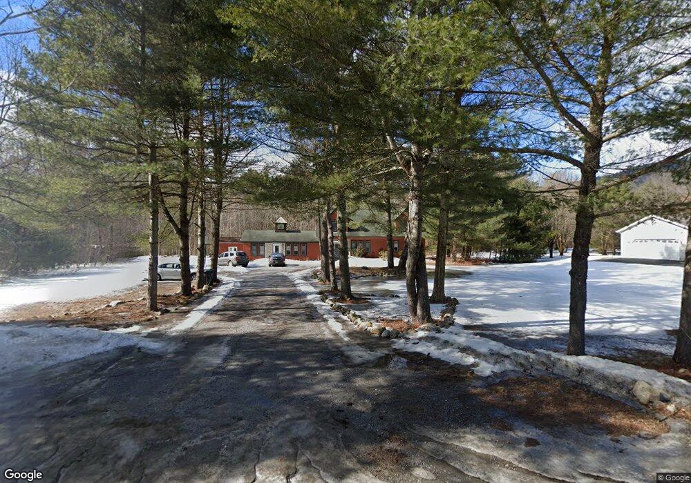
573 W Mountain Rd Queensbury, NY 12804
Estimated Value: $401,000 - $632,000
4
Beds
2
Baths
2,933
Sq Ft
$172/Sq Ft
Est. Value
About This Home
This home is located at 573 W Mountain Rd, Queensbury, NY 12804 and is currently estimated at $503,738, approximately $171 per square foot. 573 W Mountain Rd is a home located in Warren County with nearby schools including Queensbury Elementary School, William H. Barton Intermediate School, and Queensbury Middle School.
Ownership History
Date
Name
Owned For
Owner Type
Purchase Details
Closed on
Oct 12, 2006
Sold by
M & T Mortgage Corp
Bought by
Drahos Michael
Current Estimated Value
Purchase Details
Closed on
Mar 30, 2006
Sold by
Schwab Melanie
Bought by
M & T Mortgage Corp
Purchase Details
Closed on
Jan 2, 2003
Sold by
Schwab Melanie
Bought by
Signorelli Jack
Purchase Details
Closed on
Nov 15, 2000
Sold by
Trustco Bank National Association
Bought by
Schwab Melanie
Create a Home Valuation Report for This Property
The Home Valuation Report is an in-depth analysis detailing your home's value as well as a comparison with similar homes in the area
Home Values in the Area
Average Home Value in this Area
Purchase History
| Date | Buyer | Sale Price | Title Company |
|---|---|---|---|
| Drahos Michael | $166,000 | Bruce Carr | |
| M & T Mortgage Corp | -- | Steven Baum | |
| Signorelli Jack | $34,000 | Michael J Muller | |
| Schwab Melanie | $85,500 | -- |
Source: Public Records
Tax History Compared to Growth
Tax History
| Year | Tax Paid | Tax Assessment Tax Assessment Total Assessment is a certain percentage of the fair market value that is determined by local assessors to be the total taxable value of land and additions on the property. | Land | Improvement |
|---|---|---|---|---|
| 2024 | $6,355 | $334,000 | $71,000 | $263,000 |
| 2023 | $6,393 | $275,700 | $60,900 | $214,800 |
| 2022 | $6,126 | $275,700 | $60,900 | $214,800 |
| 2021 | $6,042 | $275,700 | $60,900 | $214,800 |
| 2020 | $1,748 | $277,800 | $53,900 | $223,900 |
| 2019 | $6,279 | $277,800 | $53,900 | $223,900 |
| 2018 | $6,279 | $277,800 | $53,900 | $223,900 |
| 2017 | $8,658 | $384,300 | $53,900 | $330,400 |
| 2016 | $8,564 | $384,300 | $53,900 | $330,400 |
| 2015 | -- | $384,300 | $53,900 | $330,400 |
| 2014 | -- | $270,600 | $68,700 | $201,900 |
Source: Public Records
Map
Nearby Homes
- L30 W Mountain Rd
- 49 Bronk Dr
- L3 Clendon Brook Rd Unit ADIRONDACK PK
- 38 Autumn Ln
- 68 Dean Thomas Way
- 59 Dean Thomas Way
- 84 Burch Rd
- 14 Petrie Ln
- 6 Bishops Ct
- 8 Amy Ln
- 47 Herald Dr
- 3 Sweetbriar Ln
- 50 Nicole Dr
- 29 Sylvan Ave
- 4 Joseph Ct
- 37 Willow Rd
- 455 Luzerne Rd
- 42 Queen Mary Dr
- 38 Thunderbird Rd
- 2 Margaret Dr
- 579 W West Mountain Rd
- 579 W Mountain Rd
- 563 W Mountain Rd
- 14 Mountainside Dr
- 574 W Mountain Rd
- 580 W Mountain Rd
- 568 W Mountain Rd
- 9 Mountainside Dr
- 589 W Mountain Rd
- 564 W Mountain Rd
- 584 W Mountain Rd
- 25 Braeside Cir
- 18 Mohawk Trail
- 2 Iroquois Dr
- 558 W Mountain Rd
- 20 Mohawk Trail
- 590 W Mountain Rd
- 1 Iroquois Dr
- 22 Mohawk Trail
- 552 W Mountain Rd